Drone maps & 3D models in United States
50 sub-areas · 24 public projects on this page · page 75 of 77
About drone maps in United States
Explore public orthophotos (high‑resolution maps) and 3D point clouds created by pilots in United States. Use the filters to switch between Maps and 3D, and the search to find specific sites.
FAQ for United States
What kinds of drone data are available?
Public orthophotos (maps) and 3D point clouds captured by local pilots.
How can I make models and maps like this?
Get started for free by making an account and uploading drone imagery.
Public projects
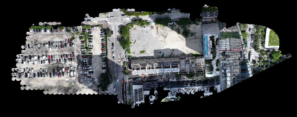 Orthophoto / Map
Wukitwear Arscht center for performng arts
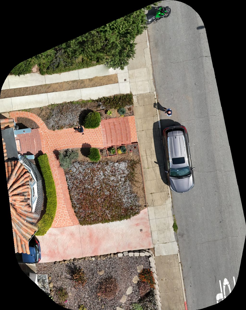 Orthophoto / Map
Redwood City Mission western dental
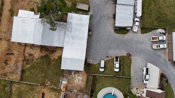 Point Cloud / 3D
The Jones Place Otter Peaks Alpacas LLC
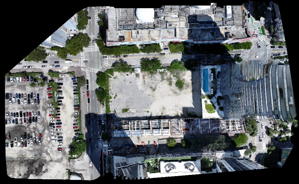 Orthophoto / Map
VLUZNET NAP of the Americas
 Orthophoto / Map
Sin City Tattoo Certified Mobile Notary Service
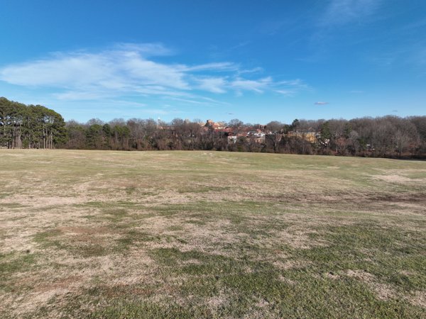 Point Cloud / 3D
L M Warehouse and Packing INC Dorothea Dix Hammock Area
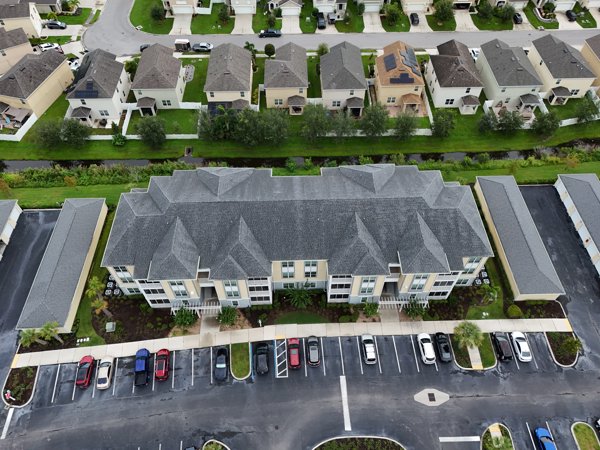 Point Cloud / 3D
StudioFX All Decor Plus
 Orthophoto / Map
Bldg 13 Mt SAC Design Technology Center Auditorium Assembly Building Room 1700
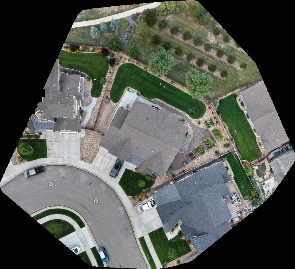 Orthophoto / Map
Beauty Benefits Festival Park
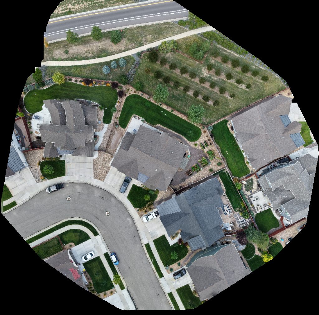 Orthophoto / Map
Beauty Benefits Festival Park
 Point Cloud / 3D
Schawe Cemetery Timmerman Power Plant
 Point Cloud / 3D
Holiday Valley Double Black Diamond Golf Course Resort
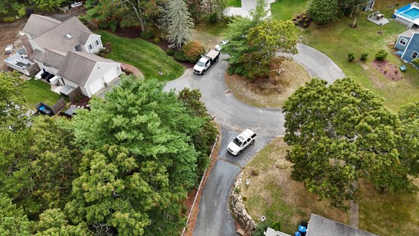 Point Cloud / 3D
draft systems Ocean Breeze Mobile Detailing
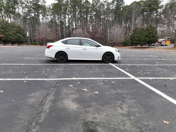 Point Cloud / 3D
USA Baseball Flagship Store Executive Offices
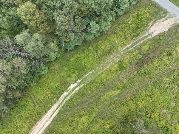 Point Cloud / 3D
Keller HVAC ARWF Substation
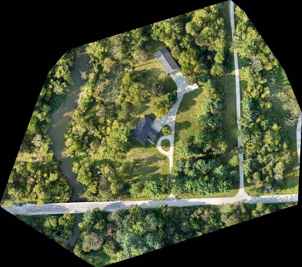 Orthophoto / Map
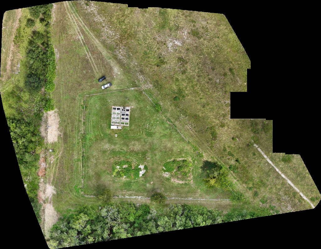
St township state game area Camp Otsiketa
 Orthophoto / Map
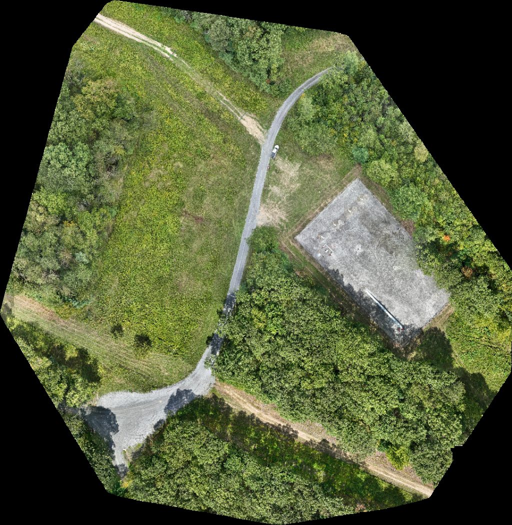
AAA Roofing Weaver Aggregate
 Orthophoto / Map
Keller HVAC ARWF Substation
 Orthophoto / Map
Metropolis Resort Conference Center Chaos Water Park
 Point Cloud / 3D
Serious Gains Beyond Clean LLC
 Orthophoto / Map
Serious Gains Beyond Clean LLC
 Orthophoto / Map
Chinmaya Mission Rio Grande Lilley Engineering Inc
 Point Cloud / 3D
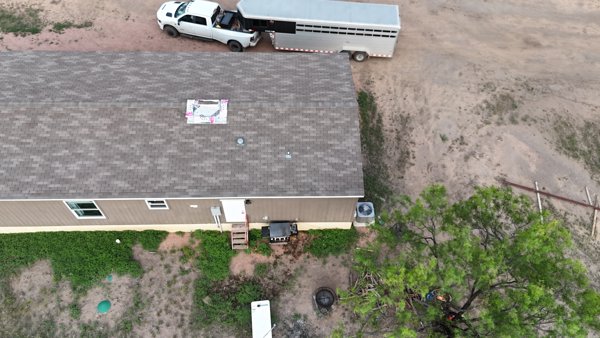
COVID 19 vaccine location Broadmoor World Arena The
 Point Cloud / 3D
Lazy B Ranch Tres Lunas Resort
No projects match your filters. Try clearing filters or searching a different term.