Drone maps & 3D models in Indiana, United States
20 sub-areas · 24 public projects on this page · page 1 of 2
About drone maps in Indiana, United States
Explore public orthophotos (high‑resolution maps) and 3D point clouds created by pilots in Indiana, United States. Use the filters to switch between Maps and 3D, and the search to find specific sites.
FAQ for Indiana, United States
What kinds of drone data are available?
Public orthophotos (maps) and 3D point clouds captured by local pilots.
How can I make models and maps like this?
Get started for free by making an account and uploading drone imagery.
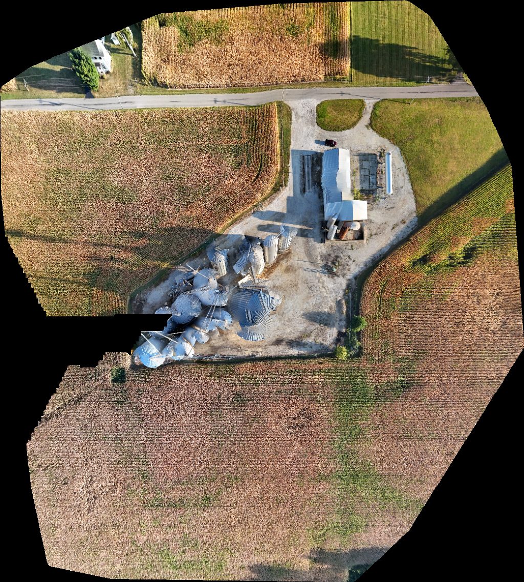
Public projects
 Orthophoto / Map
Hamilton East Public Library Ignite Studio at
 Orthophoto / Map
Jd Metal Concepts Inc H M Gunsmith
 Point Cloud / 3D
Little Duckling Childcare CSX Transportation
 Point Cloud / 3D
Oakwood Stables Ark Logistics Services
 Point Cloud / 3D
On Target Polaris Inc
 Point Cloud / 3D
New Point Christian Church imi Concrete
 Orthophoto / Map
Warrick county tunnel of trees Top Notch Taxes
 Point Cloud / 3D
Little Duckling Childcare CSX Transportation
 Point Cloud / 3D
Long Lake Access Site Pump Public
 Point Cloud / 3D
Stone s Hill Community Church West Noble Middle School
 Point Cloud / 3D
Steak n Shake White Castle
 Orthophoto / Map
White Castle Steak n Shake
 Orthophoto / Map
Digital Monkey Music Weddings Amore
 Orthophoto / Map
Warrick county tunnel of trees Top Notch Taxes
 Orthophoto / Map
Primary School High
 Point Cloud / 3D
Beautiful Beach Honeymoons Vacations Exclusive Ambitions
 Point Cloud / 3D
Beautiful Beach Honeymoons Vacations Exclusive Ambitions
 Orthophoto / Map
Oakley Playground
 Orthophoto / Map
Michael Kerr Excavating LLC Clifty Chapel
 Point Cloud / 3D
Michael Kerr Excavating LLC Clifty Chapel
 Orthophoto / Map
Intermediate School Sixth Grade Center
 Orthophoto / Map
Mansard Du Lac Manufactured Home Community No place like cleaning service
 Orthophoto / Map
Old Sugar Creek Cemetery Canine Ranch
 Orthophoto / Map
Fire Department United States Postal Service
No projects match your filters. Try clearing filters or searching a different term.