01
3D site models
Build an interactive model of buildings, terrain, stockpiles, and site conditions from overlapping aerial photos.
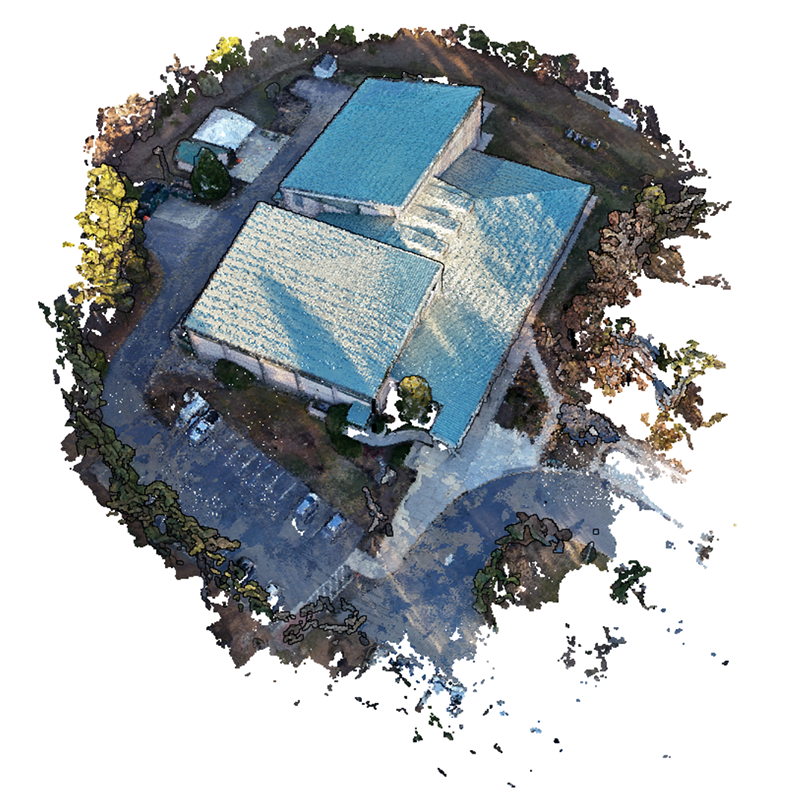
Create detailed 3D site models and high-resolution maps from the drone you already own. Take measurements, annotate it with media, make a timeline of site progression, and share the project with your team from one browser-based workspace.
AerialModel turns overlapping drone photos into practical site records that can be viewed, measured, and shared without sending specialized desktop files back and forth.
Build an interactive model of buildings, terrain, stockpiles, and site conditions from overlapping aerial photos.
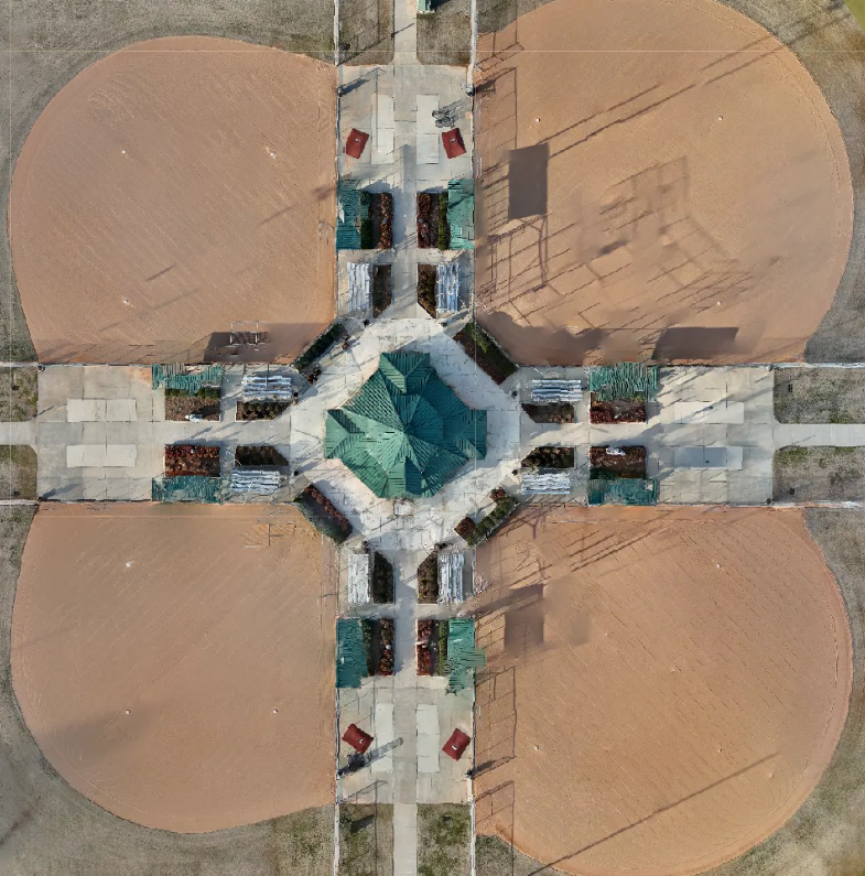
Combine large image sets into a single overhead map for documentation, planning, and repeat site comparisons.
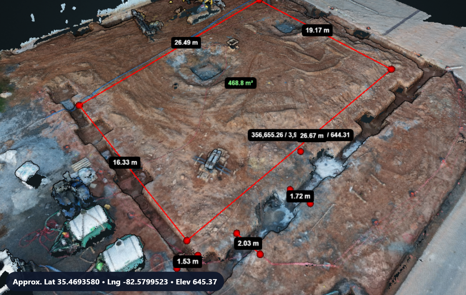
Review the site from multiple viewing modes and capture distance, area, elevation, and contextual project information.
A selection of organizations whose teams have used AerialModel to document, inspect, measure, or communicate real-world site conditions.

Supporting research and teaching with detailed spatial site records.

Supporting geographic research, field documentation, and visual storytelling.

Documenting water-resource infrastructure and large project sites.

Enabling university research, instruction, and field-based project work.

Documenting remote locations, infrastructure, and complex terrain.

Creating clear aerial records of infrastructure and public lands.

Supporting public-sector site documentation, planning, and coordination.

Supporting public-safety teams documenting facilities and operational sites.

Creating accessible visual records for government facilities and property.

Reviewing terrain, access routes, and changing field conditions.
For supported non-RTK and non-PPK drone workflows, AerialModel can use AerialAlign-corrected imagery to reduce systematic camera-position error before processing. Better-positioned source photos can improve real-world map alignment, measurement accuracy, and consistency across flights without replacing the drone.
See how AerialAlign worksResults vary by drone, flight conditions, image metadata, reference coverage, and project geometry. “Up to 95%” is an AerialModel performance claim for supported workflows and is not guaranteed. AerialAlign is intended to improve alignment and measurement workflows; it is not a replacement for legal surveying.
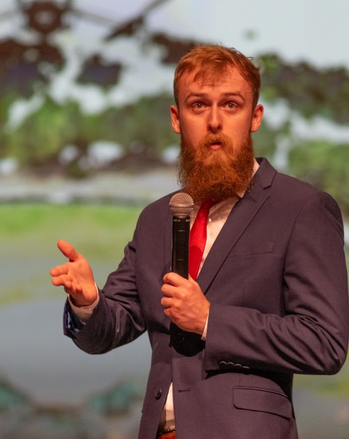
AerialModel is developed and operated by Jay of the YouTube channel Jays Tech Vault. With over 225,000 subscribers and a masters degree in computer engineering from NC State University. AerialModel has been vetted through NC State Universities entrepreneurship programs including the VenturePack Challenge and Andrews Launch Accelerator.
Start for free