Drone maps & 3D models in United States
50 sub-areas · 24 public projects on this page · page 74 of 77
About drone maps in United States
Explore public orthophotos (high‑resolution maps) and 3D point clouds created by pilots in United States. Use the filters to switch between Maps and 3D, and the search to find specific sites.
FAQ for United States
What kinds of drone data are available?
Public orthophotos (maps) and 3D point clouds captured by local pilots.
How can I make models and maps like this?
Get started for free by making an account and uploading drone imagery.
Public projects
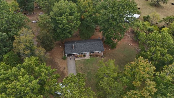 Point Cloud / 3D
Rock Hollow Trout Stream Hog Haven Farms LLC
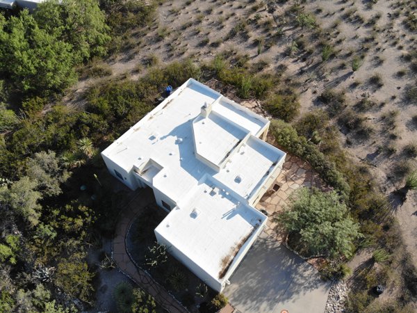 Point Cloud / 3D
Chinmaya Mission Rio Grande Lilley Engineering Inc
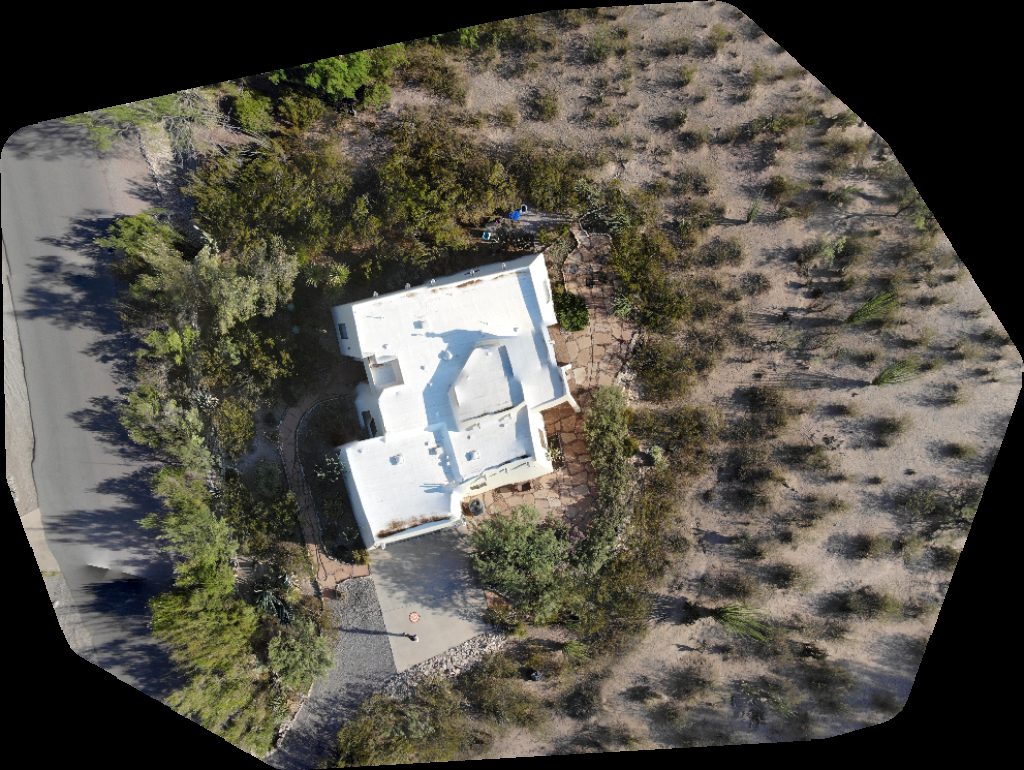 Orthophoto / Map
Chinmaya Mission Rio Grande Lilley Engineering Inc
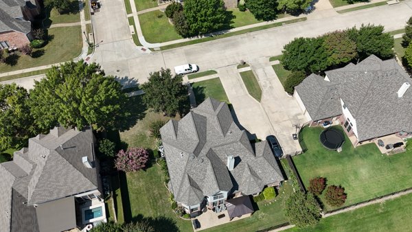 Point Cloud / 3D
First Class Chimney Sweep Studio 3 Photography
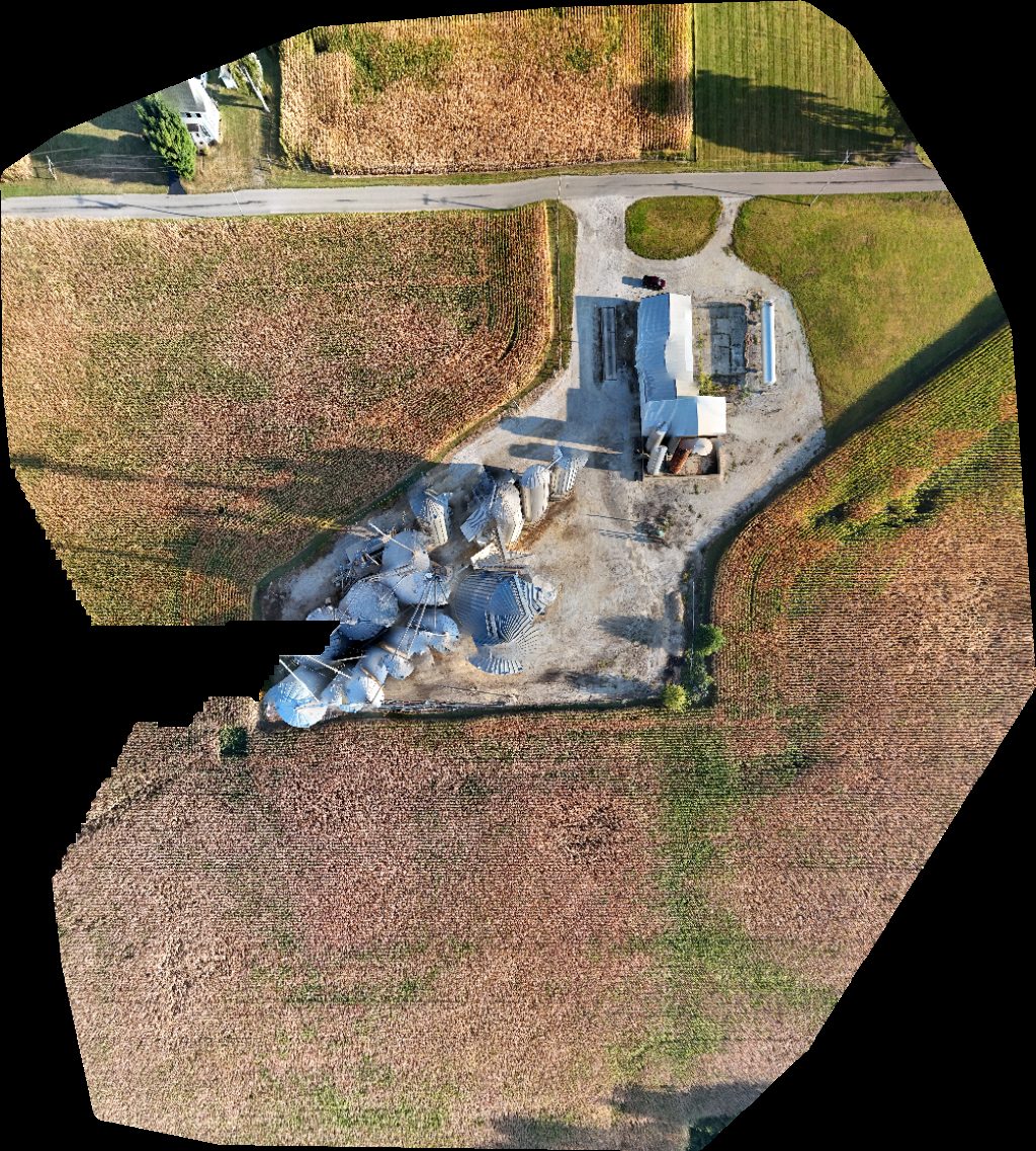 Orthophoto / Map
Fire Department United States Postal Service
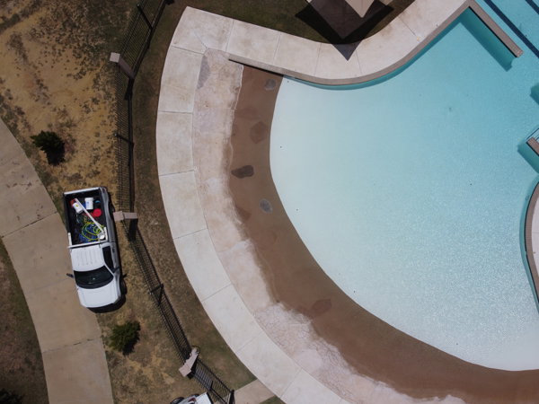 Point Cloud / 3D
Independence Pool K 9 Marimar Dog Park
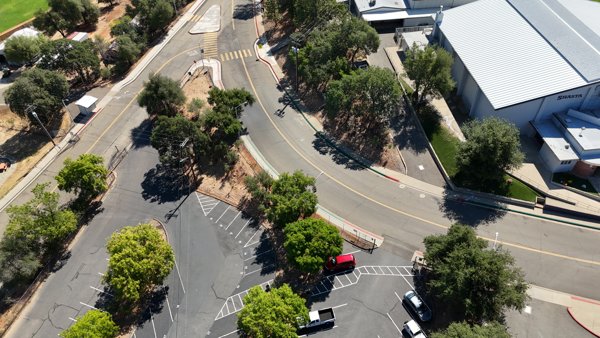 Point Cloud / 3D
Shasta High School Athletic Field
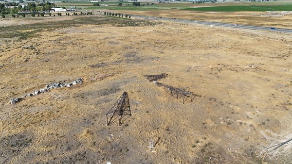 Point Cloud / 3D
Sasquatch Fireworks Blink Charging Station
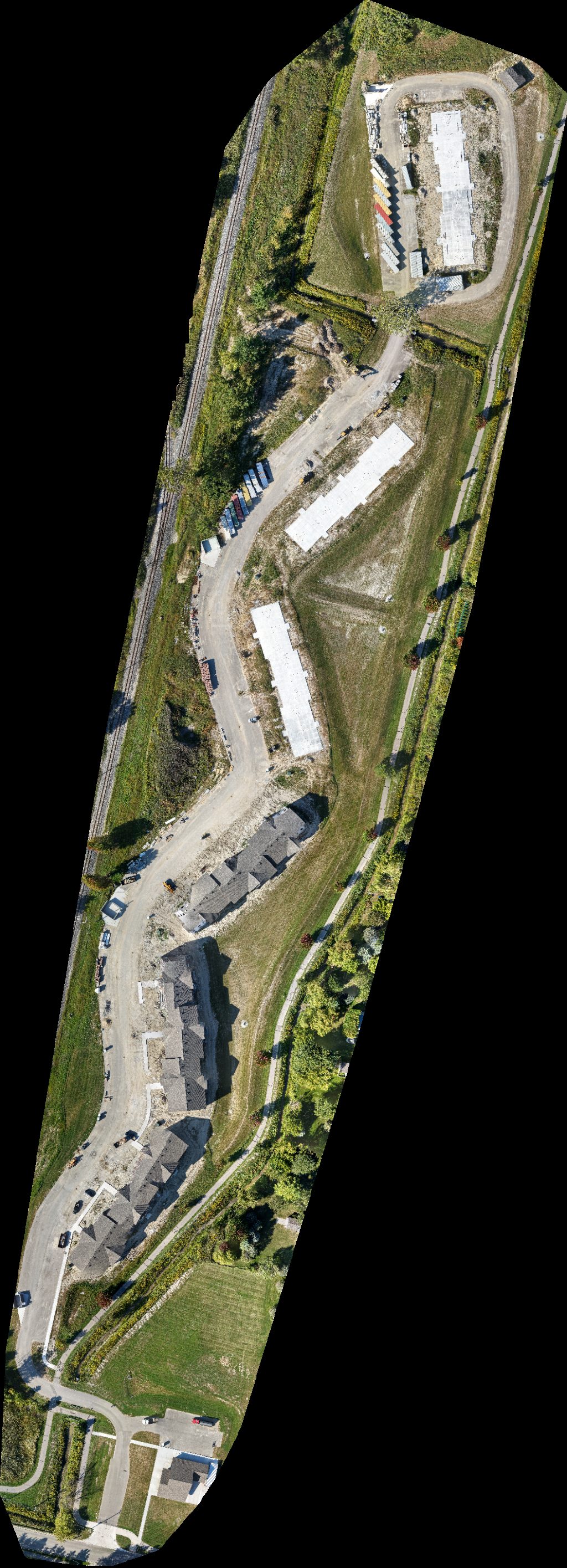 Orthophoto / Map
Engineered Plastic Components St Recreation Department
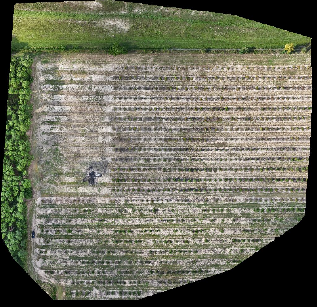 Orthophoto / Map
Xtreme Concrete Recycling out of business
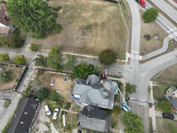 Point Cloud / 3D
Jefferson County Ohio Historical Association PWL Network
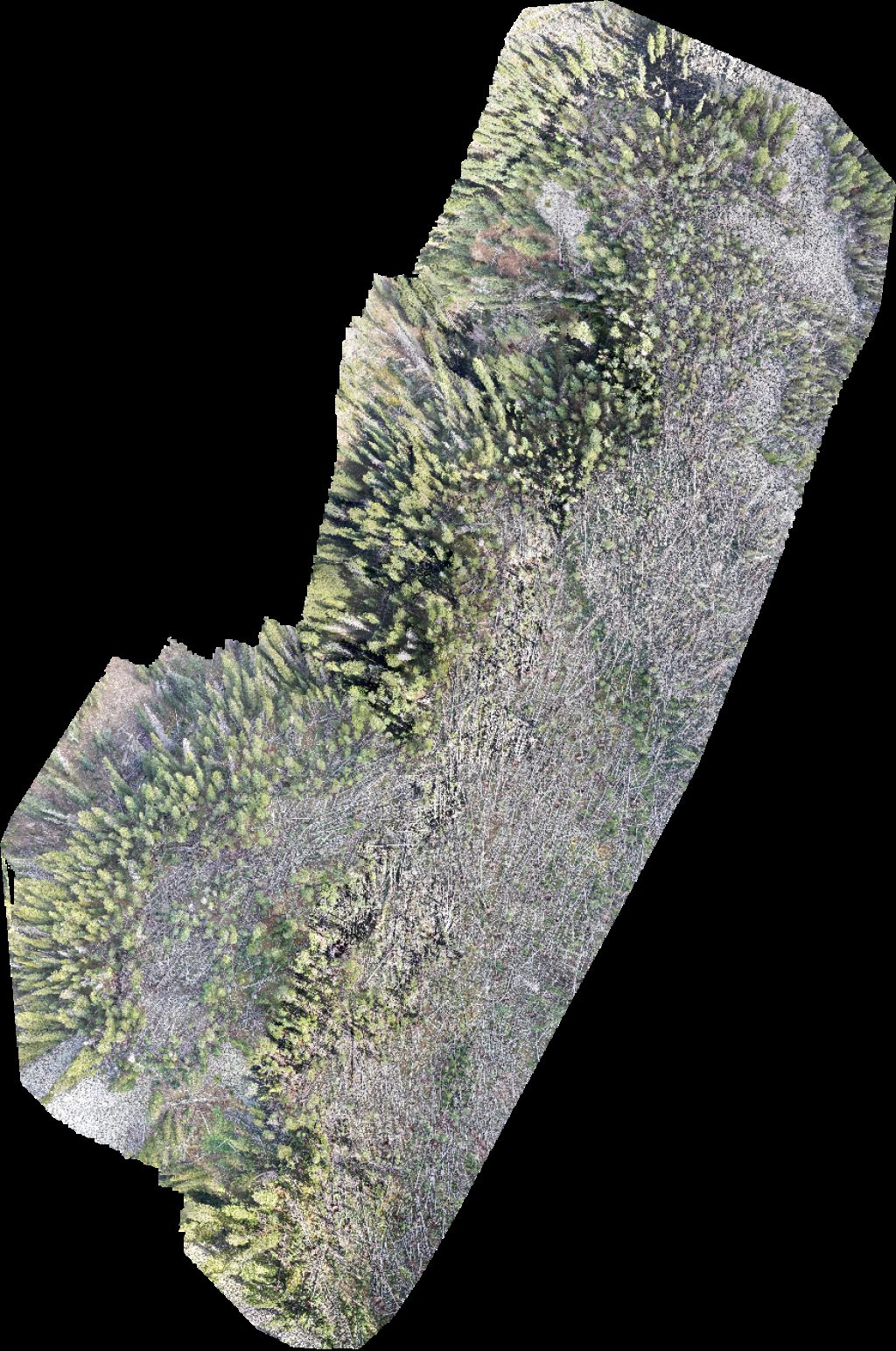 Orthophoto / Map
Geyser Pass Yurt Warner Lake
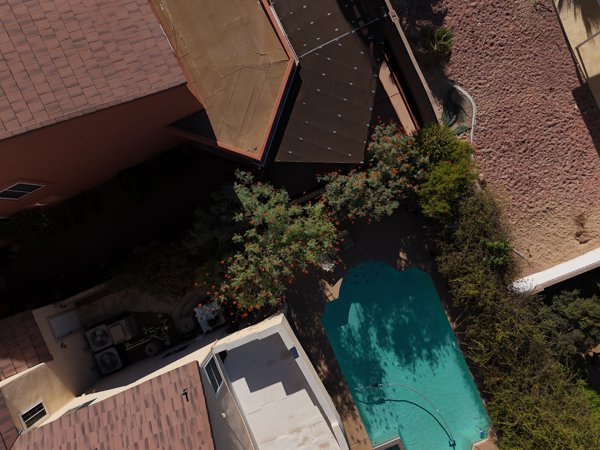 Point Cloud / 3D
Sin City Tattoo Certified Mobile Notary Service
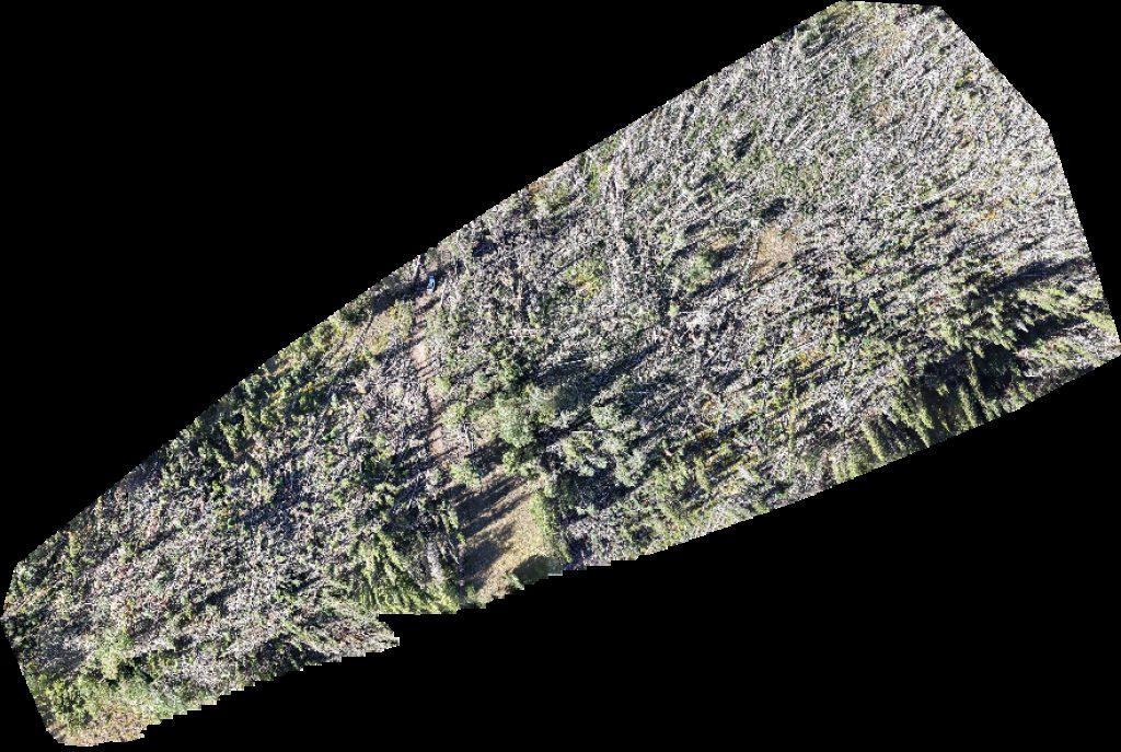 Orthophoto / Map
Geyser Pass Yurt Taylor Ridge Ranch and RV Park
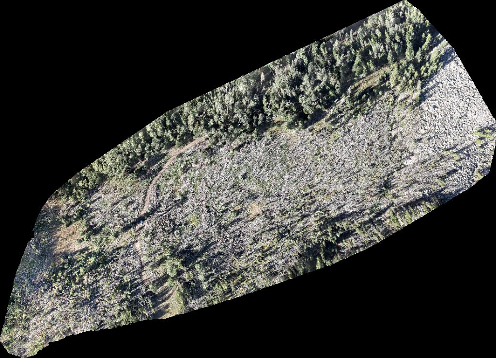 Orthophoto / Map
Geyser Pass Yurt Taylor Ridge Ranch and RV Park
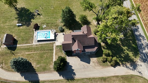 Point Cloud / 3D
Shrader Weaver Woods Bentonville Cemetery
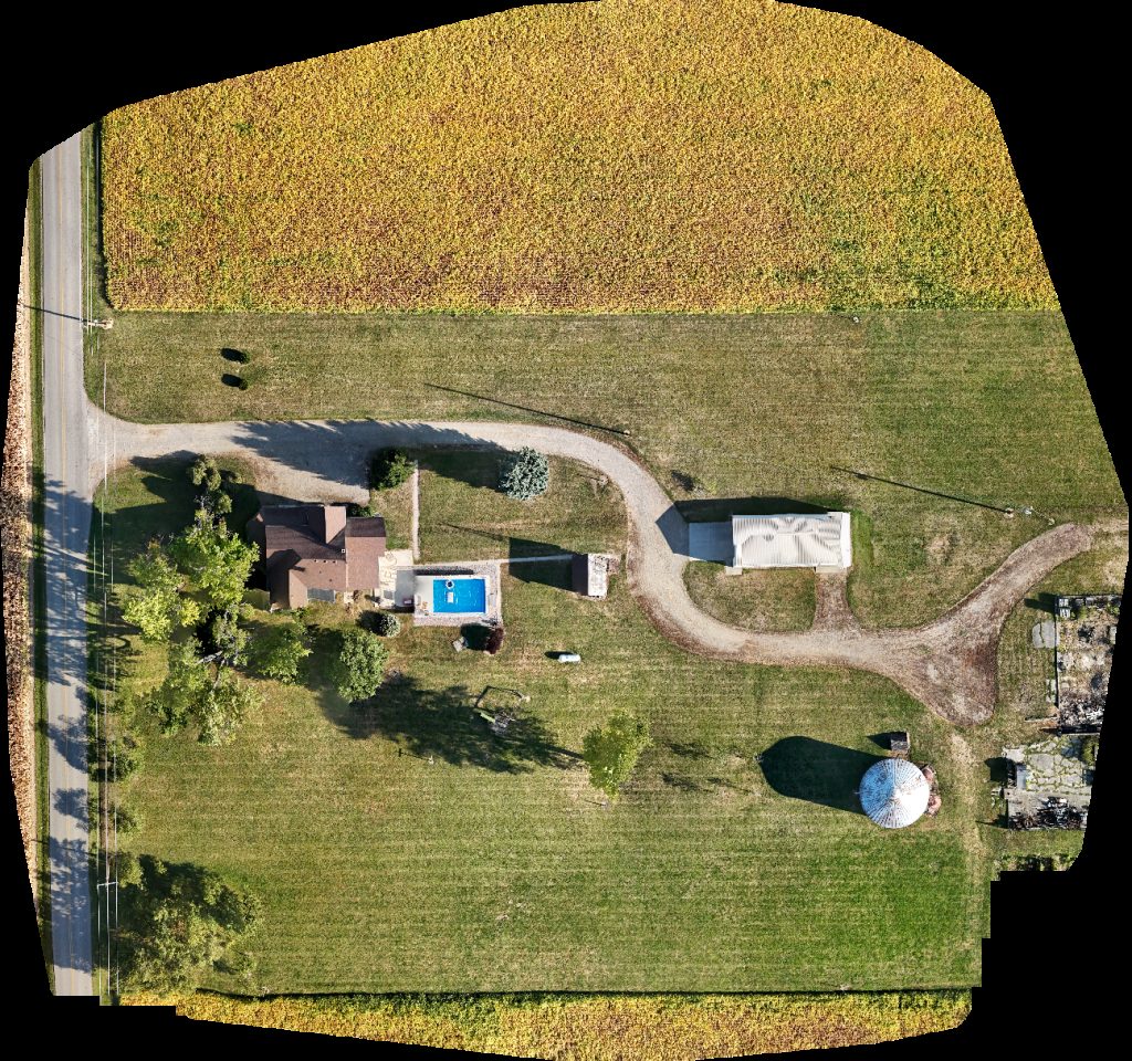 Orthophoto / Map
Shrader Weaver Woods Bentonville Cemetery
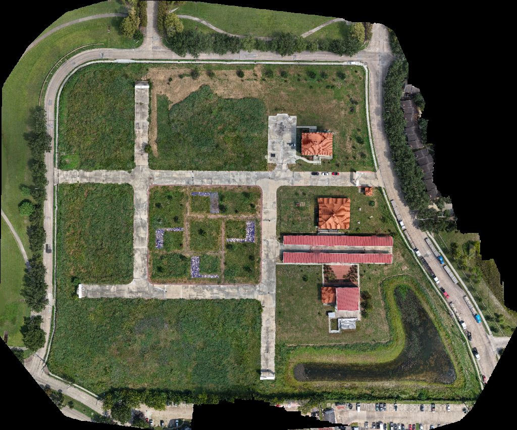 Orthophoto / Map
Ashford Point Dr Overture Kale Art Gallery
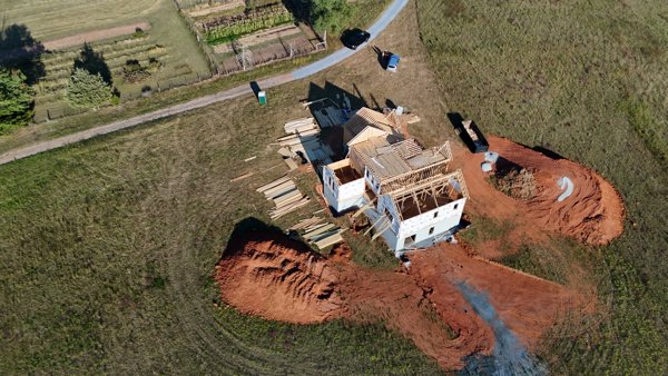 Point Cloud / 3D
Gardner Pallets Inc Community Church
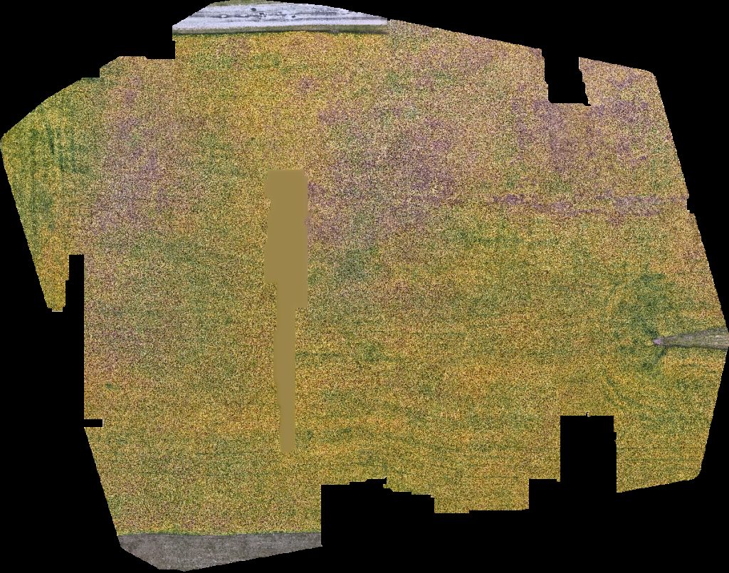 Orthophoto / Map
Shrader Weaver Woods Bentonville Cemetery
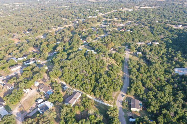 Point Cloud / 3D
Home Seller Tom Cowboy Yacht Club
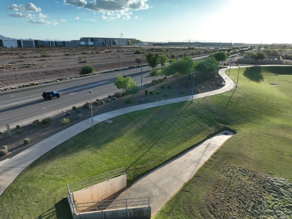 Point Cloud / 3D
Basin 114 NTT PH3 Datacenter
 Point Cloud / 3D
S Cherry St Tennessee Ave Felicia Greher PHD
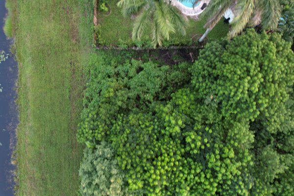 Point Cloud / 3D
Natalie s Cove Park Precision Appraisal Zone
No projects match your filters. Try clearing filters or searching a different term.