Drone maps & 3D models in Pennsylvania, United States
17 sub-areas · 20 public projects on this page
About drone maps in Pennsylvania, United States
Explore public orthophotos (high‑resolution maps) and 3D point clouds created by pilots in Pennsylvania, United States. Use the filters to switch between Maps and 3D, and the search to find specific sites.
FAQ for Pennsylvania, United States
What kinds of drone data are available?
Public orthophotos (maps) and 3D point clouds captured by local pilots.
How can I make models and maps like this?
Get started for free by making an account and uploading drone imagery.
Public projects
 Point Cloud / 3D
On the Right Track Systems LLC Moran Logistics
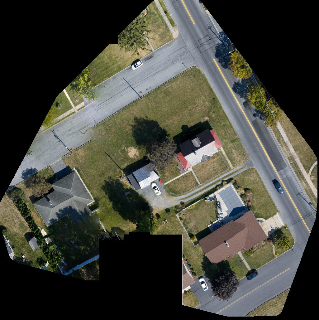
 Orthophoto / Map
NEPA Drone Destinations Travel by Tony
 Orthophoto / Map
Sheridan St George At
 Orthophoto / Map
Northern Tier Cultural Alliance Area Youth Soccer Association
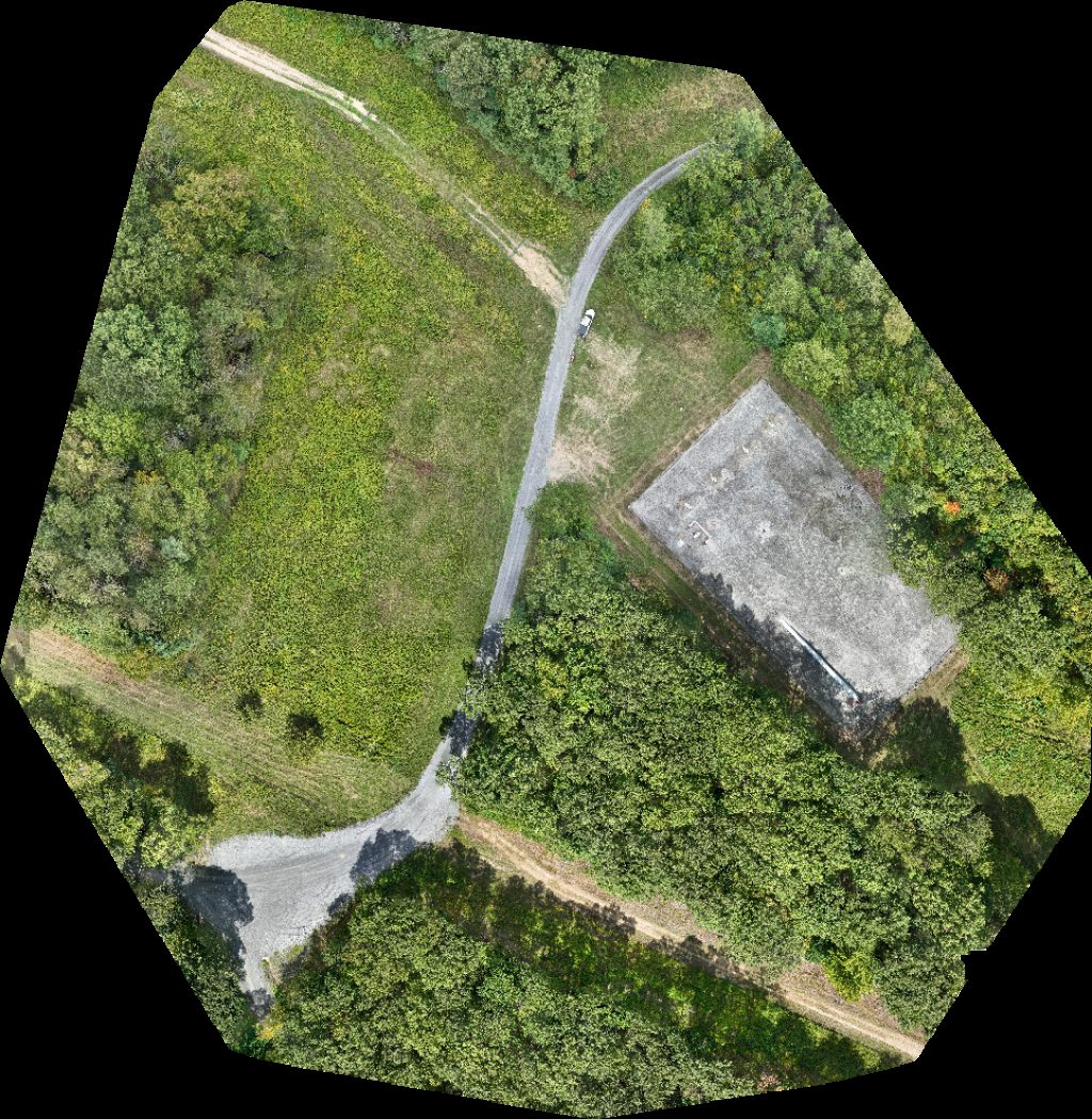
 Point Cloud / 3D
A1 Sealing Keystone Lift Elevator
 Point Cloud / 3D
Pocono Home Services Cherry Valley Construction LLC
 Point Cloud / 3D
Stargazer Aromatics VeteranGuruDogHandling L C
 Point Cloud / 3D
Southridge Enterprises Strauser Nature s Helpers
 Orthophoto / Map
Southridge Enterprises Strauser Nature s Helpers
 Point Cloud / 3D
O Rourke Sons Inc AJS Pancott Gymnastics
 Point Cloud / 3D
Community Day School Hardwood Flooring
 Orthophoto / Map
Upper Macungie Township Police Department Zoning Permits
 Orthophoto / Map
Manor on Main Johnnie s Service Station
 Point Cloud / 3D
Mid Penn Bank Spayd s Industrial LLC
 Orthophoto / Map
Advanced Material Solutions Gasbarre Thermal Processing Systems
 Orthophoto / Map
Tyoga Container Company Distribution Center Fancy Paws of
 Orthophoto / Map
Commercial Interiors Barkada Co
 Orthophoto / Map
PuNeth ពូន ត្រ Biever Walker
 Point Cloud / 3D
Keller HVAC ARWF Substation
 Orthophoto / Map
Keller HVAC ARWF Substation
No projects match your filters. Try clearing filters or searching a different term.