Drone maps & 3D models in United States
49 sub-areas · 24 public projects on this page · page 1 of 65
About drone maps in United States
Explore public orthophotos (high‑resolution maps) and 3D point clouds created by pilots in United States. Use the filters to switch between Maps and 3D, and the search to find specific sites.
FAQ for United States
What kinds of drone data are available?
Public orthophotos (maps) and 3D point clouds captured by local pilots.
How can I make models and maps like this?
Get started for free by making an account and uploading drone imagery.
Public projects
 Point Cloud / 3D
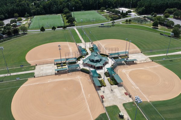
Thomas Brooks Baseball Softball Fields Field 5
 Point Cloud / 3D
Country Store W Earl Nixon Welding Supplies
 Orthophoto / Map
Stonebrook Estates Clubhouse
 Point Cloud / 3D
Leather Seal Community Court Hotel
 Point Cloud / 3D
Leather Seal Community Court Hotel
 Point Cloud / 3D
Leather Seal Community Court Hotel
 Point Cloud / 3D
Rabbi Nekritz s Yeshiva Bais Yosef of Vorka Cheder
 Orthophoto / Map
Toll Brothers at Highland Garden Heirloom Ridge
 Orthophoto / Map
Toll Brothers at Highland Garden Heirloom Ridge
 Orthophoto / Map
Toll Brothers at Highland Garden Heirloom Ridge
 Point Cloud / 3D
Ohm Therapeutic Arts Prism Smoke Vape
 Point Cloud / 3D
Noah Savett Sculpture Best Floor Refinishing
 Point Cloud / 3D
Spring Creek Park playground
 Orthophoto / Map
Marlin Creation Decoration Rpc Computers
 Orthophoto / Map
Weaver Family Cemetery Anderson Metal Works LLC
 Point Cloud / 3D
US Transportation Department FAA
 Orthophoto / Map
Weaver Family Cemetery Anderson Metal Works LLC
 Point Cloud / 3D
Bluestone Land Management Precision Mindset PLLC
 Point Cloud / 3D
Larkin Park Community Center 763 West Harrison Avenue Sage Mountain Beef
 Orthophoto / Map
Larkin Park Community Center 763 West Harrison Avenue Sage Mountain Beef
 Point Cloud / 3D
Larkin Park Community Center 763 West Harrison Avenue Sage Mountain Beef
 Orthophoto / Map
Larkin Park Community Center 763 West Harrison Avenue Sage Mountain Beef
 Orthophoto / Map
Marshall s Trading Post Total Care Mechanical Services
 Point Cloud / 3D
A Web Design Jenny s
No projects match your filters. Try clearing filters or searching a different term.