Drone maps & 3D models in France
13 sub-areas · 16 public projects on this page · page 3 of 3
About drone maps in France
Explore public orthophotos (high‑resolution maps) and 3D point clouds created by pilots in France. Use the filters to switch between Maps and 3D, and the search to find specific sites.
FAQ for France
What kinds of drone data are available?
Public orthophotos (maps) and 3D point clouds captured by local pilots.
How can I make models and maps like this?
Get started for free by making an account and uploading drone imagery.
Public projects
 Point Cloud / 3D
Asoleo SAS SMB Patrimoine
 Point Cloud / 3D
Hexactus Soliplast Sarl
 Point Cloud / 3D
Blumereve Brocantoine
 Orthophoto / Map
N T A Séverine SEU
 Point Cloud / 3D
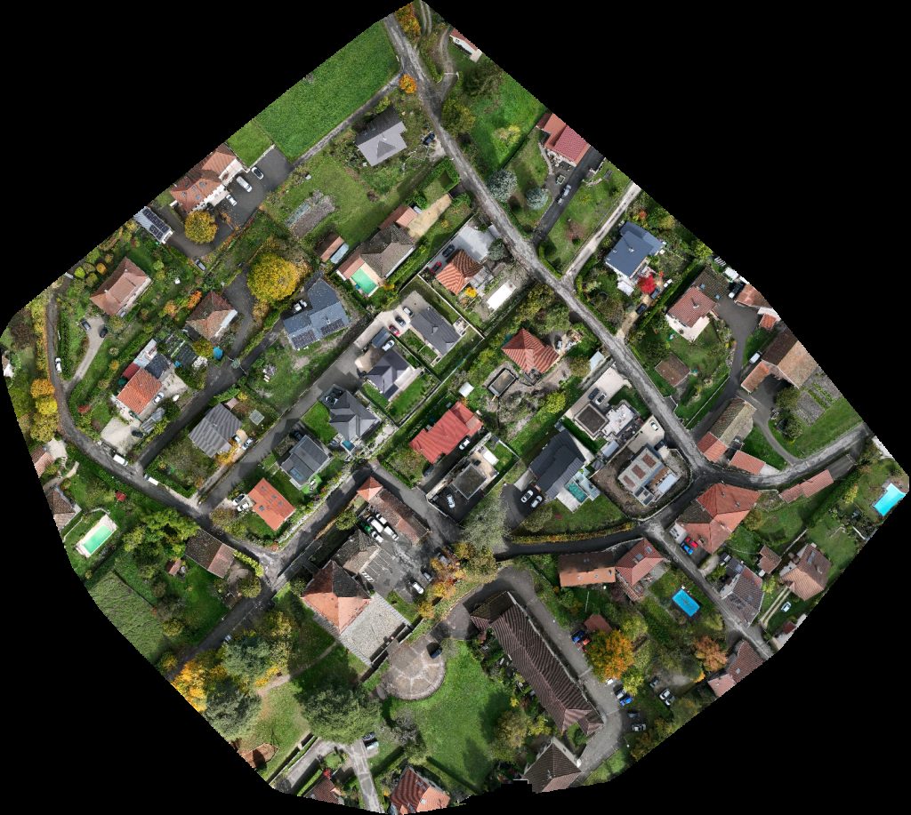
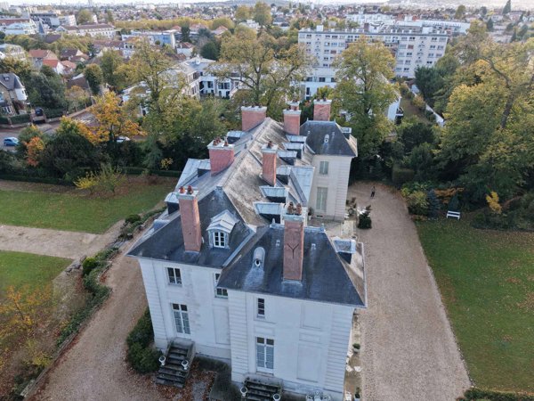
Château de la Chesnaie Smash in Burger The Truck
 Point Cloud / 3D
Stade de Salle Polyvalente Debrousse
 Orthophoto / Map
Stade de Salle Polyvalente Debrousse
 Orthophoto / Map
Maison de la Literie SAS Usine CLASSIC CARS BODY REPAIR
 Orthophoto / Map
Poste électrique de Chalune Immobilier
 Orthophoto / Map
Fontcalvy Maison Goixart Et Fils
 Point Cloud / 3D
Daroux renaud Sarl Memorial de Saône et Loire pour les morts la France en Algérie Maroc ou Tunisie 1952 1962
 Orthophoto / Map
Fromagerie de Blâmont Nico mécanique service
 Point Cloud / 3D
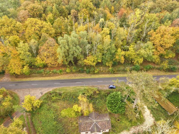
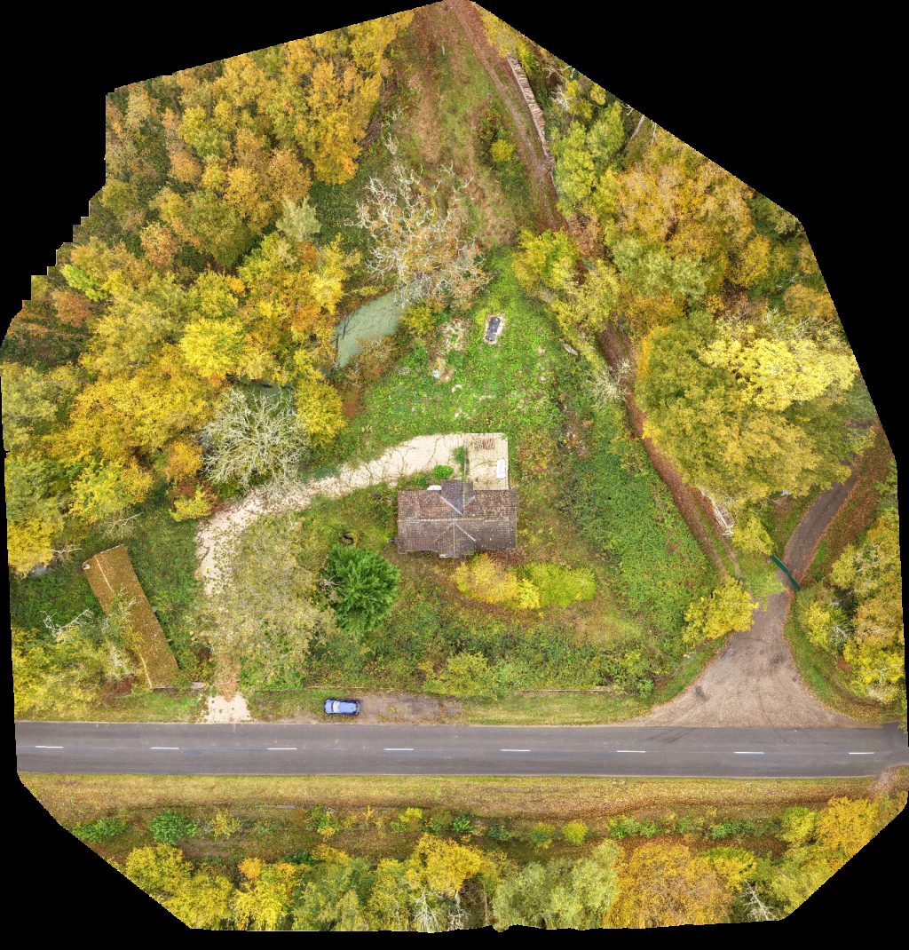
Gîte Leontine Poterie de Meyraguet Pascal Castagné
 Point Cloud / 3D
Vélo Trial L En Vie d Être
 Point Cloud / 3D
Ty Bouchon Balade Fluviale Parking Le Vieux Port
 Point Cloud / 3D
Droneservices63 Iranzo Jacques
No projects match your filters. Try clearing filters or searching a different term.