Drone maps & 3D models in Occitanie, France
8 sub-areas · 8 public projects on this page
About drone maps in Occitanie, France
Explore public orthophotos (high‑resolution maps) and 3D point clouds created by pilots in Occitanie, France. Use the filters to switch between Maps and 3D, and the search to find specific sites.
FAQ for Occitanie, France
What kinds of drone data are available?
Public orthophotos (maps) and 3D point clouds captured by local pilots.
How can I make models and maps like this?
Get started for free by making an account and uploading drone imagery.
Public projects
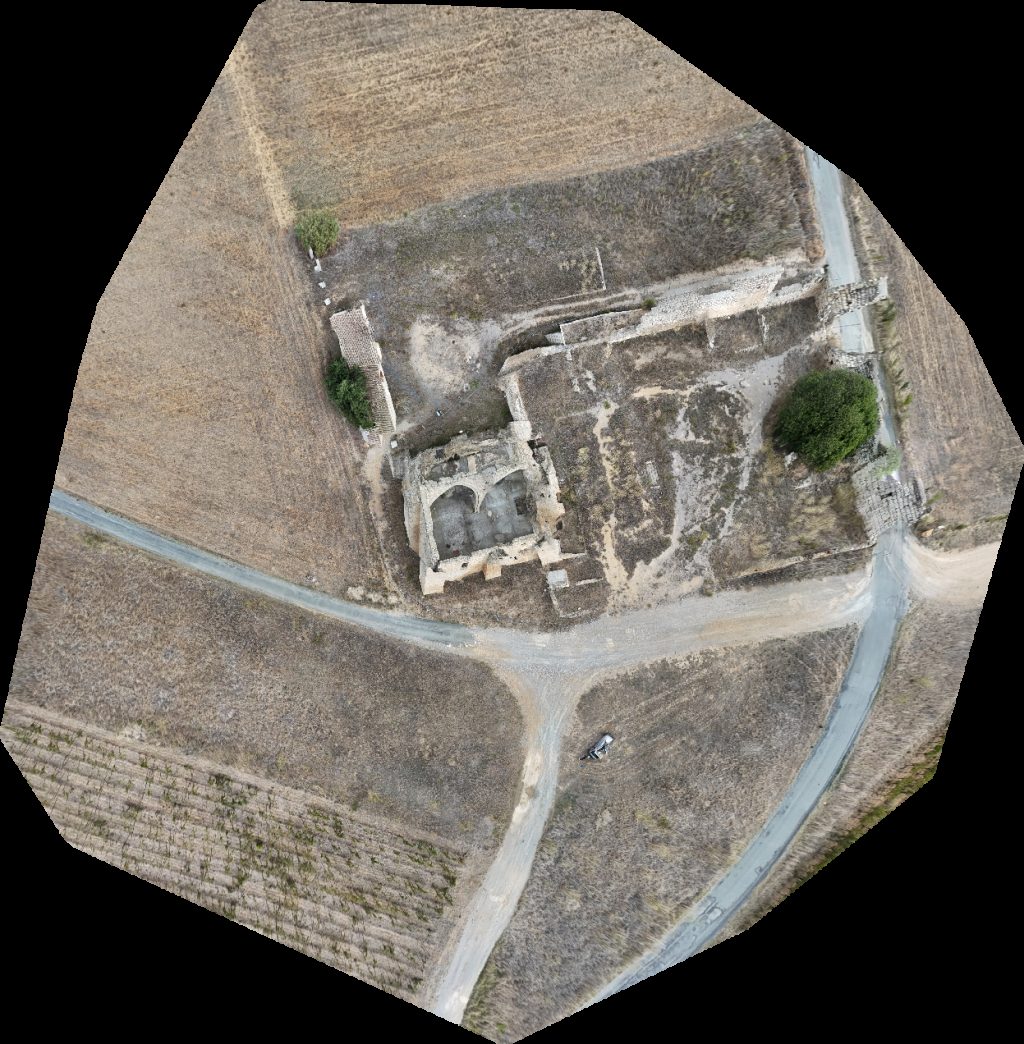
 Orthophoto / Map
People Vox Campus Sncf
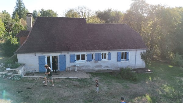
 Point Cloud / 3D
Le Chateau d Oc Pascal Stéphanie
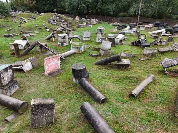
 Point Cloud / 3D
Ségolène DOUVRY Tous ensemble vivons mieux
 Point Cloud / 3D
Edhytel LM SERVICES
 Orthophoto / Map
Pont de la route Pigaillou Les Deux Moulins
 Orthophoto / Map
Fontcalvy Maison Goixart Et Fils
 Point Cloud / 3D
Gîte Leontine Poterie de Meyraguet Pascal Castagné
 Point Cloud / 3D
Vélo Trial L En Vie d Être
No projects match your filters. Try clearing filters or searching a different term.