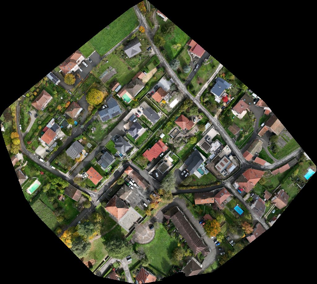
Drone maps & 3D models in FR
8 sub-areas · 24 public projects on this page · page 1 of 2
About drone maps in FR
Explore public orthophotos (high‑resolution maps) and 3D point clouds created by pilots in FR. Use the filters to switch between Maps and 3D, and the search to find specific sites.
FAQ for FR
What kinds of drone data are available?
Public orthophotos (maps) and 3D point clouds captured by local pilots.
How can I make models and maps like this?
Get started for free by making an account and uploading drone imagery.
Browse areas
- Auvergne Rhone Alpes (7)
- Occitanie (7)
- Bourgogne Franche Comte (5)
- Idf (4)
- Grand Est (3)
- Hauts De France (2)
- Pays De La Loire (2)
- Normandie (1)
Public projects
 Point Cloud / 3D
Déchetterie de Agglomération Fécamp Caux Littoral Mini Crib The Petite Pomme
 Point Cloud / 3D
Lavoir Studio de l abbaye
 Point Cloud / 3D
Maison Avec Jacuzzi Proche de Paris et Versailles Sylvie GRYGER STANNAGE
 Point Cloud / 3D
Public Primary School Evette Production d Energie Solaire
 Orthophoto / Map
Production d Energie Solaire Public Primary School Evette
 Orthophoto / Map
Église Sainte Flamine et Saint Julien Fernandes Finitions
 Orthophoto / Map
Église Sainte Flamine et Saint Julien Fernandes Finitions
 Point Cloud / 3D
Chapelle de Bellefontaine Stuck Françis
 Orthophoto / Map
Production d Energie Solaire Public Primary School Evette
 Point Cloud / 3D
Production d Energie Solaire Public Primary School Evette
 Point Cloud / 3D
Le Chateau d Oc Pascal Stéphanie
 Point Cloud / 3D
Ségolène DOUVRY Tous ensemble vivons mieux
 Point Cloud / 3D
Edhytel LM SERVICES
 Point Cloud / 3D
Sylvie Humeau Envie entre Ciel Terre De la Réauté Gaec
 Orthophoto / Map
Pont de la route Pigaillou Les Deux Moulins
 Point Cloud / 3D
Cimenterie Destruction nids frelons V D S Vincent Divers Services
 Point Cloud / 3D
Asoleo SAS SMB Patrimoine
 Point Cloud / 3D
Hexactus Soliplast Sarl
 Point Cloud / 3D
Blumereve Brocantoine
 Orthophoto / Map
N T A Séverine SEU
 Point Cloud / 3D
Château de la Chesnaie Smash in Burger The Truck
 Point Cloud / 3D
Stade de Salle Polyvalente Debrousse
 Orthophoto / Map
Stade de Salle Polyvalente Debrousse
 Orthophoto / Map
Poste électrique de Chalune Immobilier
No projects match your filters. Try clearing filters or searching a different term.