Drone maps & 3D models in Auvergne Rhone Alpes, France
10 sub-areas · 14 public projects on this page
About drone maps in Auvergne Rhone Alpes, France
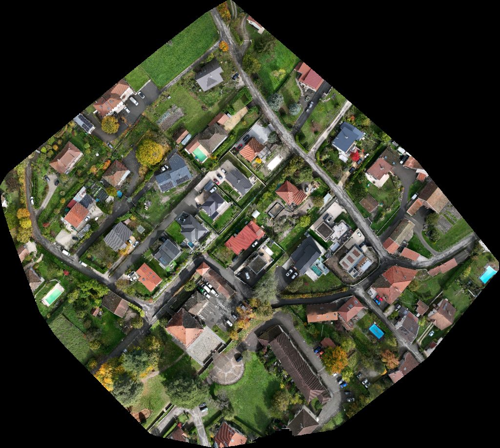
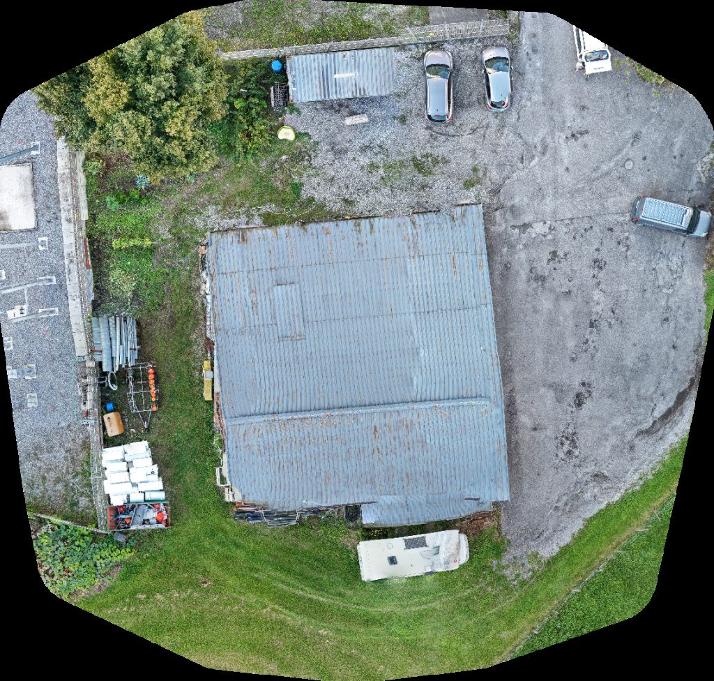
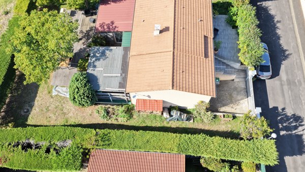
Explore public orthophotos (high‑resolution maps) and 3D point clouds created by pilots in Auvergne Rhone Alpes, France. Use the filters to switch between Maps and 3D, and the search to find specific sites.
FAQ for Auvergne Rhone Alpes, France
What kinds of drone data are available?
Public orthophotos (maps) and 3D point clouds captured by local pilots.
How can I make models and maps like this?
Get started for free by making an account and uploading drone imagery.
Public projects
 Point Cloud / 3D
Transocéans Ahlstrom Brignoud
 Point Cloud / 3D
Transocéans Ahlstrom Brignoud
 Point Cloud / 3D
Citiz station gare de Middle School Icare
 Point Cloud / 3D
SAS J Simon Leroul René
 Point Cloud / 3D
Parc Couttet Lodge
 Point Cloud / 3D
Parc Couttet Lodge
 Point Cloud / 3D
Parc Couttet Lodge
 Point Cloud / 3D
Lavoir Studio de l abbaye
 Orthophoto / Map
Église Sainte Flamine et Saint Julien Fernandes Finitions
 Orthophoto / Map
Église Sainte Flamine et Saint Julien Fernandes Finitions
 Point Cloud / 3D
Asoleo SAS SMB Patrimoine
 Orthophoto / Map
N T A Séverine SEU
 Orthophoto / Map
Poste électrique de Chalune Immobilier
 Point Cloud / 3D
Droneservices63 Iranzo Jacques
No projects match your filters. Try clearing filters or searching a different term.