Drone maps & 3D models in Pays De La Loire, France
4 sub-areas · 4 public projects on this page
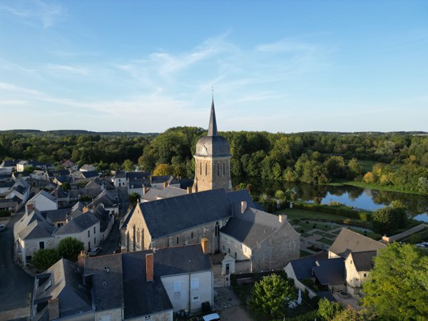
About drone maps in Pays De La Loire, France
Explore public orthophotos (high‑resolution maps) and 3D point clouds created by pilots in Pays De La Loire, France. Use the filters to switch between Maps and 3D, and the search to find specific sites.
FAQ for Pays De La Loire, France
What kinds of drone data are available?
Public orthophotos (maps) and 3D point clouds captured by local pilots.
How can I make models and maps like this?
Get started for free by making an account and uploading drone imagery.
Public projects
 Point Cloud / 3D
Anne GILLET Dev massage
 Point Cloud / 3D
Terrien Mouteliere Fabienne Timber Elagage
 Point Cloud / 3D
Sylvie Humeau Envie entre Ciel Terre De la Réauté Gaec
 Point Cloud / 3D
Ty Bouchon Balade Fluviale Parking Le Vieux Port
No projects match your filters. Try clearing filters or searching a different term.