Drone maps & 3D models in Texas, United States
61 sub-areas · 15 public projects on this page · page 5 of 5
About drone maps in Texas, United States
Explore public orthophotos (high‑resolution maps) and 3D point clouds created by pilots in Texas, United States. Use the filters to switch between Maps and 3D, and the search to find specific sites.
FAQ for Texas, United States
What kinds of drone data are available?
Public orthophotos (maps) and 3D point clouds captured by local pilots.
How can I make models and maps like this?
Get started for free by making an account and uploading drone imagery.
Public projects
 Point Cloud / 3D
Huff Gene C DDS East Women s Health Center
 Point Cloud / 3D
ToomesLovingCare Lake RV Boat Storage
 Orthophoto / Map
ToomesLovingCare Lake RV Boat Storage
 Point Cloud / 3D
Lifebridge Community Church Pregnancy Resource Center
 Orthophoto / Map
Lifebridge Community Church Pregnancy Resource Center
 Orthophoto / Map
Star Dairy LLC Biardstown Black Cemetery
 Point Cloud / 3D
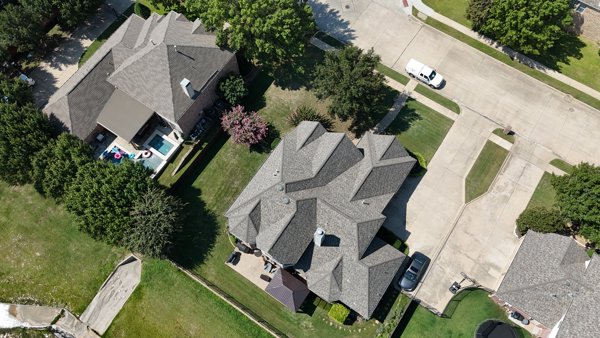
First Class Chimney Sweep Studio 3 Photography
 Point Cloud / 3D
First Class Chimney Sweep Studio 3 Photography
 Point Cloud / 3D
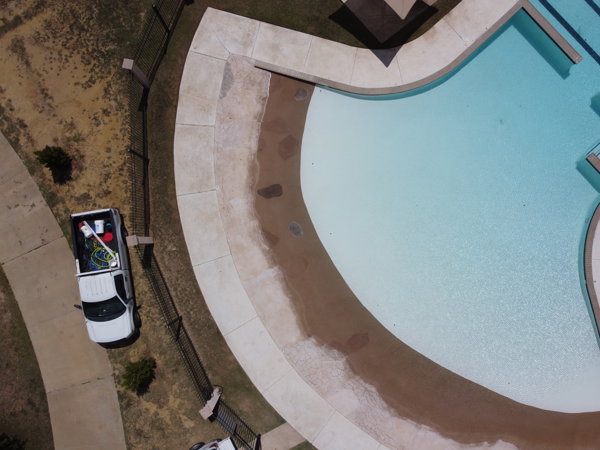
Independence Pool K 9 Marimar Dog Park
 Orthophoto / Map
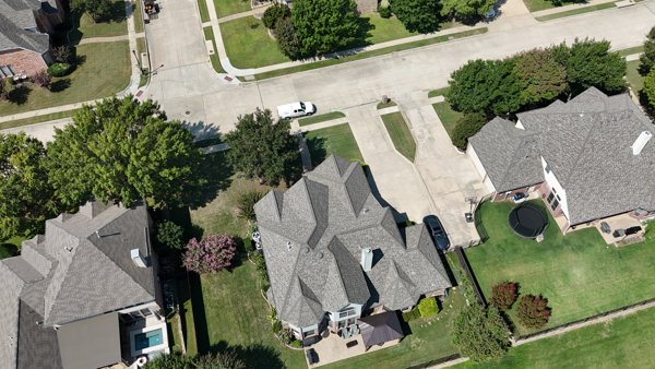
Ashford Point Dr Overture Kale Art Gallery
 Point Cloud / 3D
Home Seller Tom Cowboy Yacht Club
 Orthophoto / Map
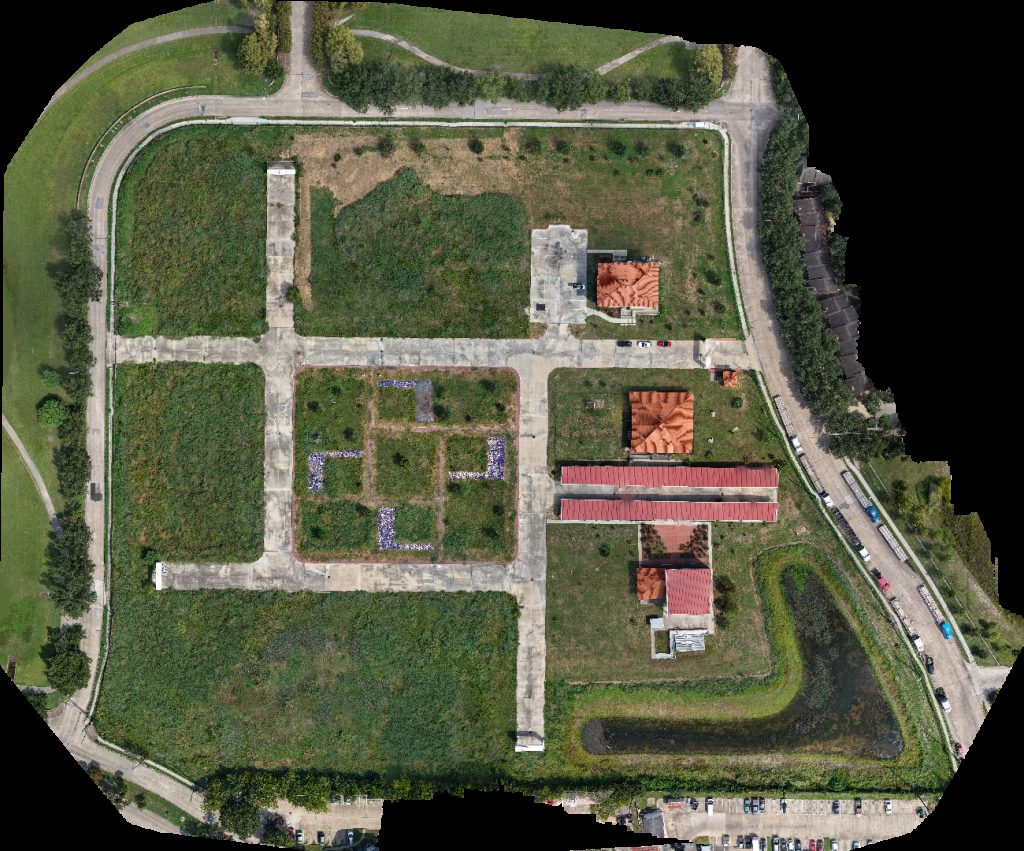
Nielsen Communities LLC RTT Drone Zone
 Point Cloud / 3D
Schawe Cemetery Timmerman Power Plant
 Point Cloud / 3D
Lazy B Ranch Tres Lunas Resort
 Orthophoto / Map
Elves Christmas Tree Farm and Pumpkin Patch Travels Like Royalty
No projects match your filters. Try clearing filters or searching a different term.