Drone maps & 3D models in Tx, US
58 sub-areas · 24 public projects on this page · page 4 of 5
About drone maps in Tx, US
Explore public orthophotos (high‑resolution maps) and 3D point clouds created by pilots in Tx, US. Use the filters to switch between Maps and 3D, and the search to find specific sites.
FAQ for Tx, US
What kinds of drone data are available?
Public orthophotos (maps) and 3D point clouds captured by local pilots.
How can I make models and maps like this?
Get started for free by making an account and uploading drone imagery.
Browse areas
- Bastrop (5)
- Galveston (4)
- Houston (4)
- Progreso Lakes (4)
- San Antonio (4)
- Sealy (4)
- Barstow (3)
- Dallas (3)
- Hitchcock (3)
- Magnolia (3)
- North Richland Hills (3)
- Seabrook (3)
- Austin (2)
- Bedford (2)
- Cedar Park (2)
- Dripping Springs (2)
- East Tawakoni (2)
- Hidalgo (2)
- Jarrell (2)
- Keller (2)
- Lago Vista (2)
- Midland (2)
- Salado (2)
- Seguin (2)
- Von Ormy (2)
- Wolfforth (2)
- Alvarado (1)
- Amarillo (1)
- Avery (1)
- Bellville (1)
- Blanco (1)
- Denison (1)
- Denton (1)
- Granbury (1)
- Harris County (1)
- Heath (1)
- Hurst (1)
- Jourdanton (1)
- Kerens (1)
- Laredo (1)
- Mason (1)
- Maxwell (1)
- Mcallen (1)
- Mission (1)
- Paris (1)
- Pecos (1)
- Plano (1)
- Progreso (1)
- Shiner (1)
- Southlake (1)
- Spring (1)
- Sulphur Springs (1)
- The Colony (1)
- Throckmorton (1)
- Waxahachie (1)
- West (1)
- Wimberley (1)
- Yoakum (1)
Public projects
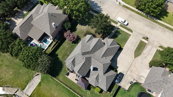
 Orthophoto / Map
League Women Voters Bay Area Gardner Len MD
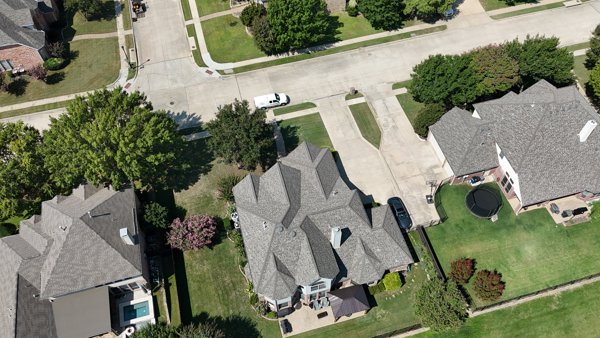
 Orthophoto / Map
Circle G Ranch on the Bayou Emelifes Farm Inc
 Orthophoto / Map
League Women Voters Bay Area Gardner Len MD
 Point Cloud / 3D
County Nature Park Colorado River Refuge Cottonwood Kings Accessible Trailhead
 Orthophoto / Map
County Nature Park Colorado River Refuge Cottonwood Kings Accessible Trailhead
 Point Cloud / 3D
County Nature Park Colorado River Refuge Cottonwood Kings Accessible Trailhead
 Orthophoto / Map
County Nature Park Colorado River Refuge Cottonwood Kings Accessible Trailhead
 Orthophoto / Map
Colorado River Refuge Two Bridges Trailhead Goon Time Taps LLC
 Point Cloud / 3D
First Impression Learning Center PNC Bank
 Orthophoto / Map
SDB Pipe Yard Tecon Services Inc
 Orthophoto / Map
Divjak Appraisals Toto s Fotos Photobooth
 Point Cloud / 3D
Starapps Consulting LLC Honey Creek Park
 Orthophoto / Map
Eaglepointe Church K L sales
 Orthophoto / Map
Bible Church Trails
 Orthophoto / Map
Bible Church Trails
 Orthophoto / Map
Bible Church Trails
 Point Cloud / 3D
Huff Gene C DDS East Women s Health Center
 Point Cloud / 3D
ToomesLovingCare Lake RV Boat Storage
 Orthophoto / Map
ToomesLovingCare Lake RV Boat Storage
 Point Cloud / 3D
Lifebridge Community Church Pregnancy Resource Center
 Orthophoto / Map
Lifebridge Community Church Pregnancy Resource Center
 Orthophoto / Map
Star Dairy LLC Biardstown Black Cemetery
 Point Cloud / 3D
First Class Chimney Sweep Studio 3 Photography
 Point Cloud / 3D
First Class Chimney Sweep Studio 3 Photography
No projects match your filters. Try clearing filters or searching a different term.