Drone maps & 3D models in Florida, United States
49 sub-areas · 24 public projects on this page · page 4 of 5
About drone maps in Florida, United States
Explore public orthophotos (high‑resolution maps) and 3D point clouds created by pilots in Florida, United States. Use the filters to switch between Maps and 3D, and the search to find specific sites.
FAQ for Florida, United States
What kinds of drone data are available?
Public orthophotos (maps) and 3D point clouds captured by local pilots.
How can I make models and maps like this?
Get started for free by making an account and uploading drone imagery.
Public projects
 Orthophoto / Map
Mohip Dental Associates Dr Michael Sofianos DDS
 Point Cloud / 3D
Electrical Substation Interiorscapes
 Point Cloud / 3D
Electrical Substation Clermont RC
 Point Cloud / 3D
Edgewood Cemetery Brazas tacos 2
 Point Cloud / 3D
S J Nursery Inc Edgewood Cemetery
 Point Cloud / 3D
Greenco Recycling iScrap Metals
 Orthophoto / Map
Mohip Dental Associates Dr Michael Sofianos DDS
 Point Cloud / 3D
Honey Bee Borrow Pit Orlando Mx Park
 Point Cloud / 3D
Honey Bee Borrow Pit Nazeeka Baksh
 Point Cloud / 3D
Brighter Lanai Concept Vianely Junco Notary Public
 Orthophoto / Map
Park Providence West Community Center and Sports Complex
 Orthophoto / Map
TeamLogic IT Globe Life Liberty National Division Violand Agencies
 Point Cloud / 3D
Hole Seven Cherian Joseph M MD
 Orthophoto / Map
Hole Seven Cherian Joseph M MD
 Point Cloud / 3D
Hole Seven Cherian Joseph M MD
 Point Cloud / 3D
PetVet Vaccination Clinic A STORAGE
 Point Cloud / 3D
Scooter s Coffee Strickland Brothers 10 Minute Oil Change
 Point Cloud / 3D
The Enclaves at Festival by Ashton Woods Psychic of Champions
 Point Cloud / 3D
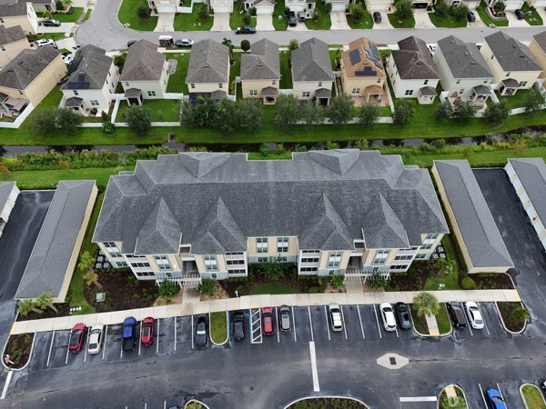
Enclave Fitness Center Psychic of Champions
 Orthophoto / Map
Xtreme Concrete Recycling out of business
 Point Cloud / 3D
Natalie s Cove Park Precision Appraisal Zone
 Orthophoto / Map
Wukitwear Arscht center for performng arts
 Orthophoto / Map
VLUZNET NAP of the Americas
 Point Cloud / 3D
StudioFX All Decor Plus
No projects match your filters. Try clearing filters or searching a different term.