Drone maps & 3D models in Bradenton, Florida, United States
2 sub-areas · 2 public projects on this page
About drone maps in Bradenton, Florida, United States
Explore public orthophotos (high‑resolution maps) and 3D point clouds created by pilots in Bradenton, Florida, United States. Use the filters to switch between Maps and 3D, and the search to find specific sites.
FAQ for Bradenton, Florida, United States
What kinds of drone data are available?
Public orthophotos (maps) and 3D point clouds captured by local pilots.
How can I make models and maps like this?
Get started for free by making an account and uploading drone imagery.
Public projects
 Orthophoto / Map
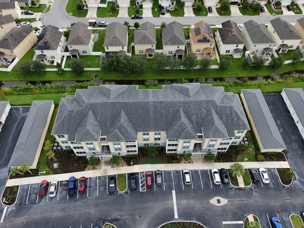
My St Stephen Beautiful 4 Bedroom and Bathroom with Heated Salt Water Pool in Gated Community Close to Some of the Best Beaches USA
 Point Cloud / 3D
StudioFX All Decor Plus
No projects match your filters. Try clearing filters or searching a different term.