Drone maps & 3D models in Miami, Florida, United States
5 sub-areas · 7 public projects on this page
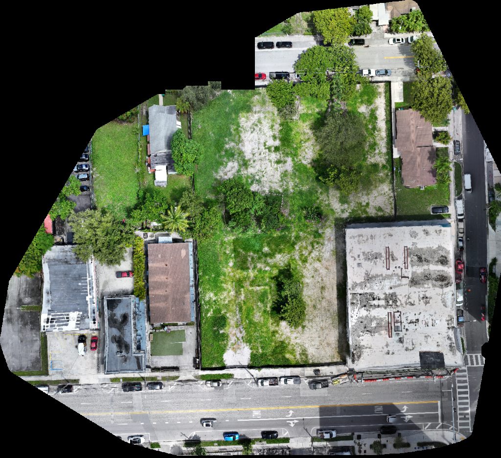
About drone maps in Miami, Florida, United States
Explore public orthophotos (high‑resolution maps) and 3D point clouds created by pilots in Miami, Florida, United States. Use the filters to switch between Maps and 3D, and the search to find specific sites.
FAQ for Miami, Florida, United States
What kinds of drone data are available?
Public orthophotos (maps) and 3D point clouds captured by local pilots.
How can I make models and maps like this?
Get started for free by making an account and uploading drone imagery.
Public projects
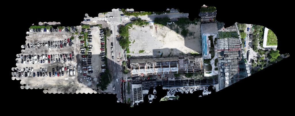
 Orthophoto / Map
Total Wireless Fonda Sabaneta Calle 8
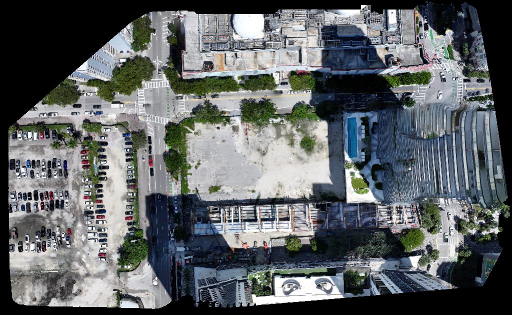
 Orthophoto / Map
Model Pet Photography Paula Feli
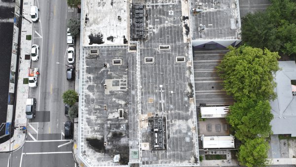
 Orthophoto / Map
Wukitwear Arscht center for performng arts
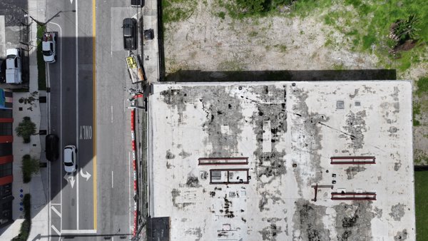
 Orthophoto / Map
VLUZNET NAP of the Americas
 Point Cloud / 3D
Paradise Found Foot Locker
 Point Cloud / 3D
ASHLEYCOLLINGTONCO PodGo Portables
 Orthophoto / Map
PodGo Portables ASHLEYCOLLINGTONCO
No projects match your filters. Try clearing filters or searching a different term.