Drone maps & 3D models in Puerto Princesa City, Mimaropa, PH — Montible Bridge
9 public projects on this page
About drone maps in Puerto Princesa City, Mimaropa, PH — Montible Bridge
Explore public orthophotos (high‑resolution maps) and 3D point clouds created by pilots in Puerto Princesa City, Mimaropa, PH — Montible Bridge. Use the filters to switch between Maps and 3D, and the search to find specific sites.
FAQ for Puerto Princesa City, Mimaropa, PH — Montible Bridge
What kinds of drone data are available?
Public orthophotos (maps) and 3D point clouds captured by local pilots.
How can I make models and maps like this?
Get started for free by making an account and uploading drone imagery.
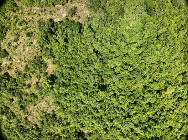
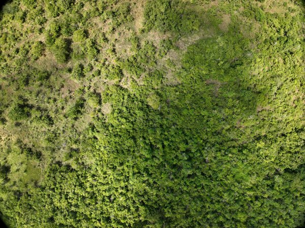
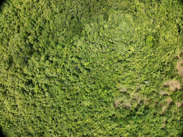
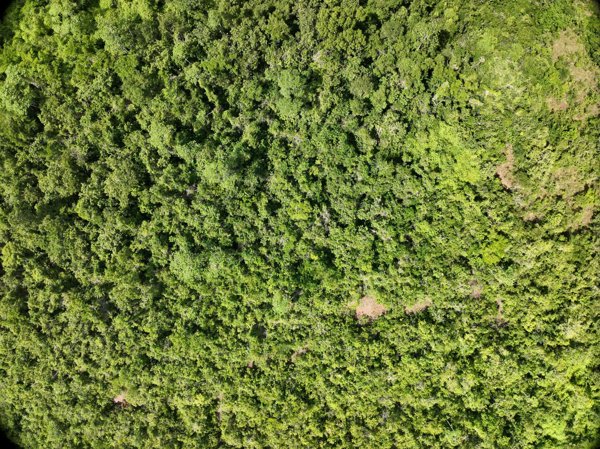
Public projects
 Point Cloud / 3D
Napsan Intersection Batching Plant
 Point Cloud / 3D
Montible bridge 2 Looban
 Point Cloud / 3D
Napsan Intersection Montible bridge 2
 Point Cloud / 3D
Napsan Intersection Montible bridge 2
 Point Cloud / 3D
Napsan Intersection Batching Plant
 Point Cloud / 3D
Napsan Intersection Batching Plant
 Point Cloud / 3D
Napsan Intersection Montible bridge 2
 Point Cloud / 3D
Napsan Intersection Montible bridge 2
 Point Cloud / 3D
Napsan Intersection Montible bridge 2
No projects match your filters. Try clearing filters or searching a different term.