Drone maps & 3D models in Mimaropa, Philippines
3 sub-areas · 22 public projects on this page
About drone maps in Mimaropa, Philippines
Explore public orthophotos (high‑resolution maps) and 3D point clouds created by pilots in Mimaropa, Philippines. Use the filters to switch between Maps and 3D, and the search to find specific sites.
FAQ for Mimaropa, Philippines
What kinds of drone data are available?
Public orthophotos (maps) and 3D point clouds captured by local pilots.
How can I make models and maps like this?
Get started for free by making an account and uploading drone imagery.
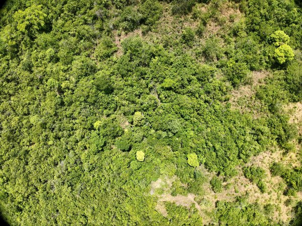
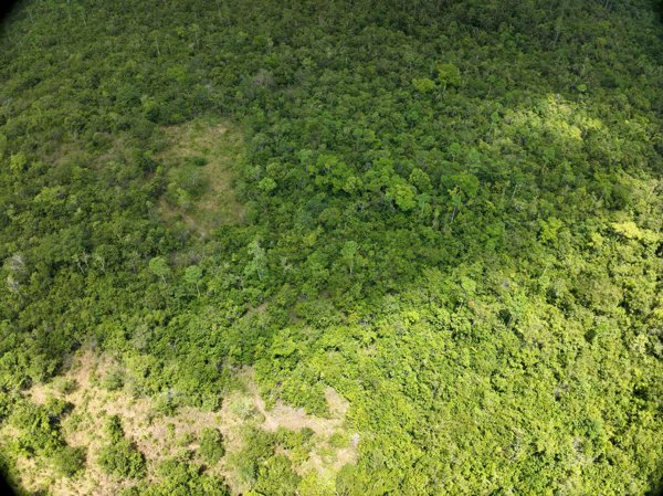
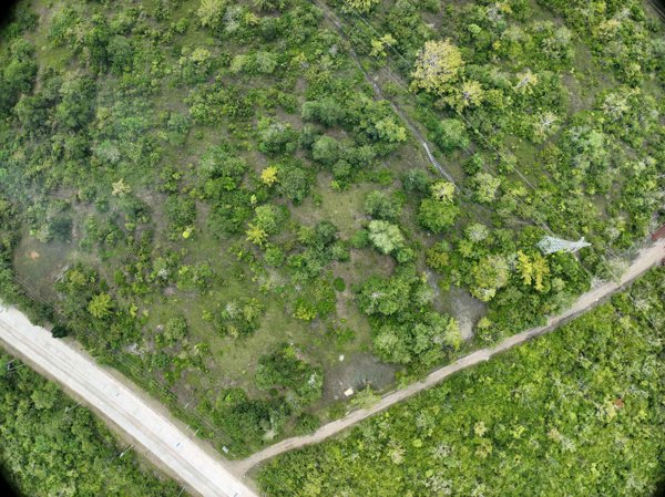
Public projects
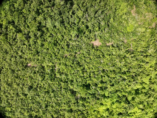
 Orthophoto / Map
AngkoolPH Jpc823 Motor Parts
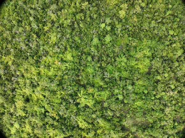
 Orthophoto / Map
Punzalan GYM FRIONA S FOOD CORNER
 Point Cloud / 3D
Apolen Quarrying Daan elementary school
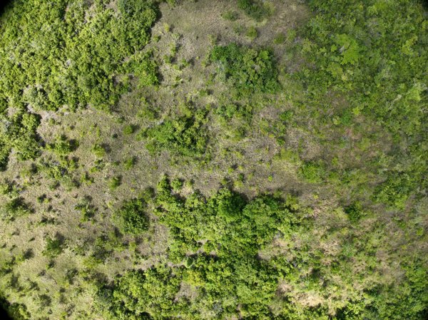
 Orthophoto / Map
Iglesia Ni Cristo Palawan Luzviminda Kingdom Hall of Jehovah s Witnesses
 Point Cloud / 3D
Napsan Intersection Batching Plant
 Point Cloud / 3D
Gintong Butil Agrifarm DORMITORY LUZVIMINDA SERVICE CENTER
 Point Cloud / 3D
Gintong Butil Agrifarm DA BFAR Inland Sea Ranching Station
 Point Cloud / 3D
Apolen Quarrying Daan elementary school
 Point Cloud / 3D
Apolen Quarrying Daan elementary school
 Point Cloud / 3D
Montible bridge 2 Looban
 Point Cloud / 3D
Napsan Intersection Montible bridge 2
 Point Cloud / 3D
Napsan Intersection Montible bridge 2
 Point Cloud / 3D
Napsan Intersection Batching Plant
 Point Cloud / 3D
Napsan Intersection Batching Plant
 Point Cloud / 3D
Napsan Intersection Batching Plant
 Point Cloud / 3D
Napsan Intersection Batching Plant
 Point Cloud / 3D
Napsan Intersection Montible bridge 2
 Point Cloud / 3D
Napsan Intersection Montible bridge 2
 Point Cloud / 3D
Napsan Intersection Montible bridge 2
 Point Cloud / 3D
Gintong Butil Agrifarm DA BFAR Inland Sea Ranching Station
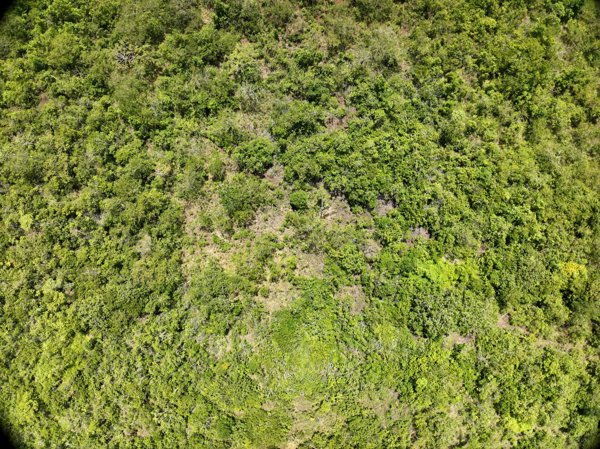
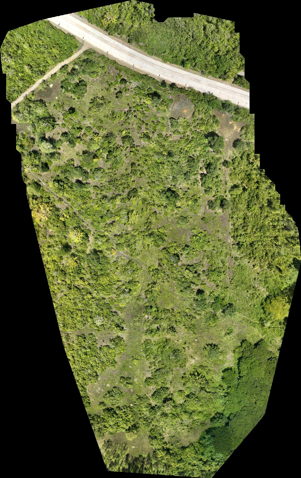 Orthophoto / Map
Gintong Butil Agrifarm DA BFAR Inland Sea Ranching Station
 Point Cloud / 3D
Gintong Butil Agrifarm DA BFAR Inland Sea Ranching Station
No projects match your filters. Try clearing filters or searching a different term.