Drone maps & 3D models in Malaysia
10 sub-areas · 24 public projects on this page · page 2 of 3
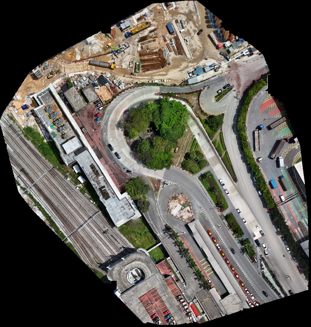
About drone maps in Malaysia
Explore public orthophotos (high‑resolution maps) and 3D point clouds created by pilots in Malaysia. Use the filters to switch between Maps and 3D, and the search to find specific sites.
FAQ for Malaysia
What kinds of drone data are available?
Public orthophotos (maps) and 3D point clouds captured by local pilots.
How can I make models and maps like this?
Get started for free by making an account and uploading drone imagery.
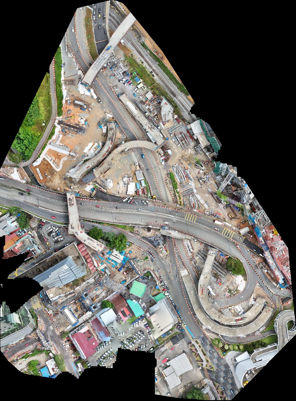
Public projects
 Point Cloud / 3D
Malaysian Rubber Board Pengedar Shaklee Telipuk
 Point Cloud / 3D
Evergreen 1979 Trading Sdn Bhd Fresh Linen Services
 Point Cloud / 3D
Johor Bahru Flour Mill Sdn Bhd Sabah Skills Technology Centre
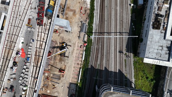
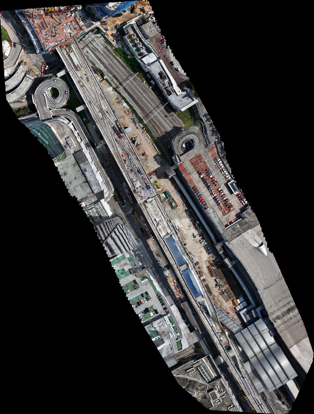
 Point Cloud / 3D
Jambatan Kereta Api Lama Sungai Muda جمبتن ڤرماتڠ ساڬ Permatang Saga Briged
 Point Cloud / 3D
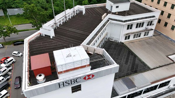
FFM Sabah Sdn Bhd Lamitech International Head Office
 Point Cloud / 3D
FFM Sabah Sdn Bhd Lamitech International Head Office
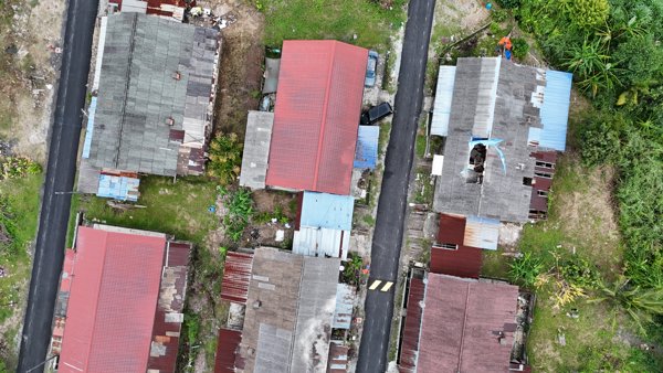
 Orthophoto / Map
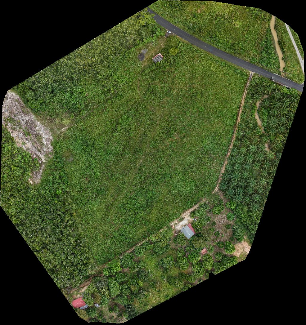
Ben Line Agencies M Sdn Bhd SABRIMAMALA AGRO FARM
 Orthophoto / Map
Persatuan Nelayan Kawasan Ujong Batu SABRIMAMALA AGRO FARM
 Point Cloud / 3D
Rumah Simun Kaunal Balibata Hill
 Orthophoto / Map
Rumah Simun Kaunal Balibata Hill
 Orthophoto / Map
Bertam Industrial Park INV Factory
 Point Cloud / 3D
Across Borneo BEST Society
 Orthophoto / Map
Rumah Shukri NSAS Bridal
 Orthophoto / Map
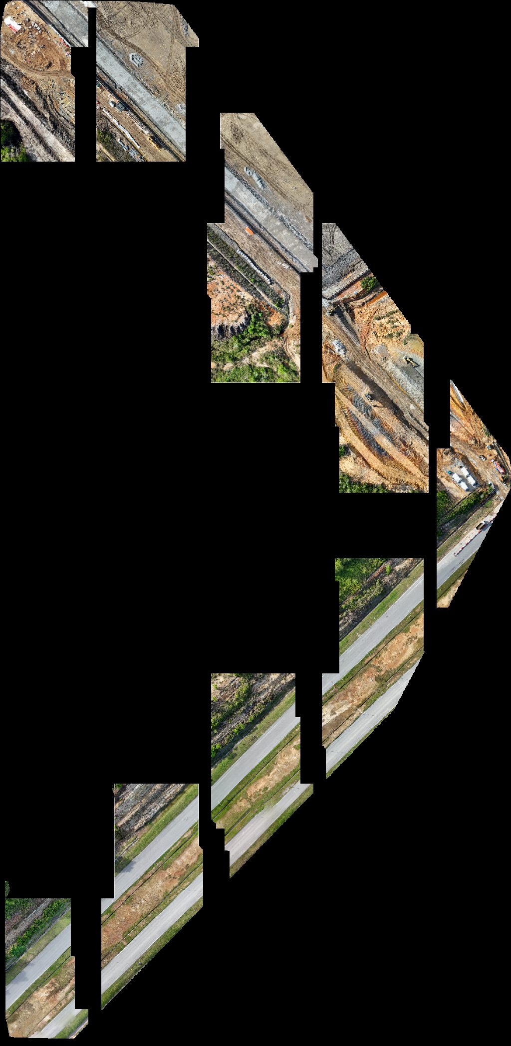
GRF Site office Project Signboard
 Orthophoto / Map
Port pancing Press Metal Sdn Bhd 918822 X
 Point Cloud / 3D
Kampung Bukit Sawa Azlina Homestay
 Orthophoto / Map
LD Renovation Construction SDN BHD TP Farm
 Orthophoto / Map
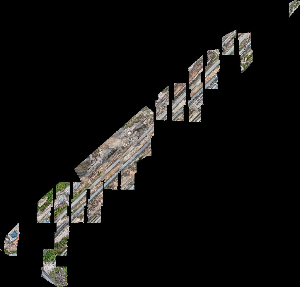
Selera Pindang Food Court IPPJ Sdn Bhd
 Point Cloud / 3D
Home sweet Little Thinkers Kotaputeri Seksyen 5
 Point Cloud / 3D
Surau Ukhwanul Muslimin Calong Corner
 Point Cloud / 3D
Selera Pindang Food Court Hotplate
 Orthophoto / Map
Drivor Car Rental JB Sentral Deliver point Trends Beauty Care
 Orthophoto / Map
TP Farm Sdn Bhd Tee Partners
 Orthophoto / Map
Taman nong chik CIQ Taxi Pick Up Point
No projects match your filters. Try clearing filters or searching a different term.