Drone maps & 3D models in Sarawak, Malaysia
6 sub-areas · 14 public projects on this page
About drone maps in Sarawak, Malaysia
Explore public orthophotos (high‑resolution maps) and 3D point clouds created by pilots in Sarawak, Malaysia. Use the filters to switch between Maps and 3D, and the search to find specific sites.
FAQ for Sarawak, Malaysia
What kinds of drone data are available?
Public orthophotos (maps) and 3D point clouds captured by local pilots.
How can I make models and maps like this?
Get started for free by making an account and uploading drone imagery.
Public projects
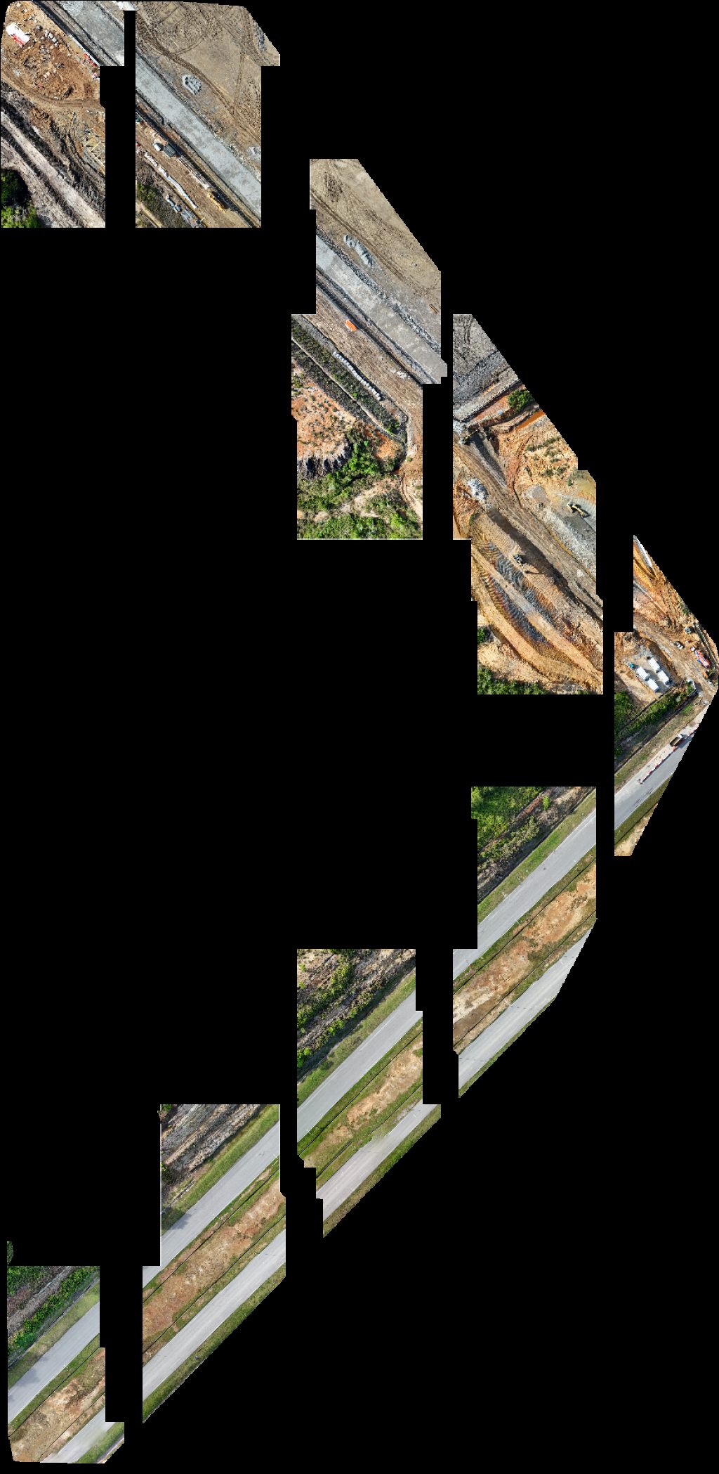
 Orthophoto / Map
Chicky Licky My Exclusive StayCation Metrocity Entire Place
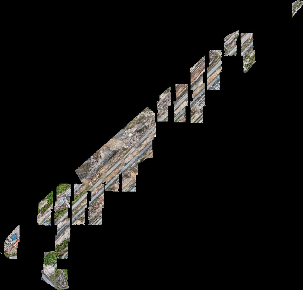
 Orthophoto / Map
Chicky Licky K C H Reno Company Renovation Maintenance Work
 Point Cloud / 3D
Asrama pekerja Lee LingTimber JBA TIMBER INDUSTRIES SDN BHD
 Point Cloud / 3D
Sensory Garden Sarawak State Library Park Playground
 Orthophoto / Map
SMK KATIBAS NANGA TELISAI
 Orthophoto / Map
NANGA TELISAI NANG
 Orthophoto / Map
Sepadi Booster Station Nanga
 Orthophoto / Map
Shiuan En Methodist Church SCAC Tadika
 Point Cloud / 3D
Impian Tea House Flower Bee Florist and Gift Shop
 Point Cloud / 3D
RENAISSANCE THE PAINTED VAULT BAZAAR Xcmg Excavator
 Orthophoto / Map
Borneo Agro Industries Sdn Bhd Syarikat Jaya NHSD
 Orthophoto / Map
Borneo Agro Industries Sdn Bhd Syarikat Jaya NHSD
 Orthophoto / Map
GRF Site office Project Signboard
 Orthophoto / Map
Port pancing Press Metal Sdn Bhd 918822 X
No projects match your filters. Try clearing filters or searching a different term.