Drone maps & 3D models in Johor Darul Ta Zim, MY
2 sub-areas · 5 public projects on this page
About drone maps in Johor Darul Ta Zim, MY
Explore public orthophotos (high‑resolution maps) and 3D point clouds created by pilots in Johor Darul Ta Zim, MY. Use the filters to switch between Maps and 3D, and the search to find specific sites.
FAQ for Johor Darul Ta Zim, MY
What kinds of drone data are available?
Public orthophotos (maps) and 3D point clouds captured by local pilots.
How can I make models and maps like this?
Get started for free by making an account and uploading drone imagery.
Browse areas
- Johor Bahru (4)
- Pasir Gudang (1)
Public projects
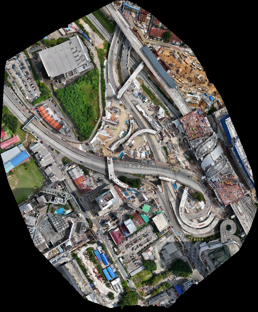
 Orthophoto / Map
UACJ Foil Malaysia Sdn Bhd EcoOils
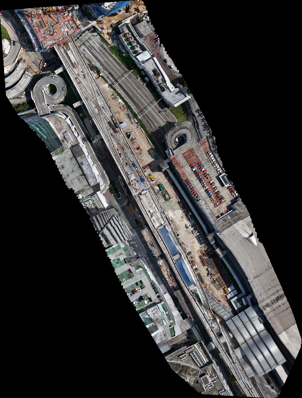
 Orthophoto / Map
LD Renovation Construction SDN BHD TP Farm
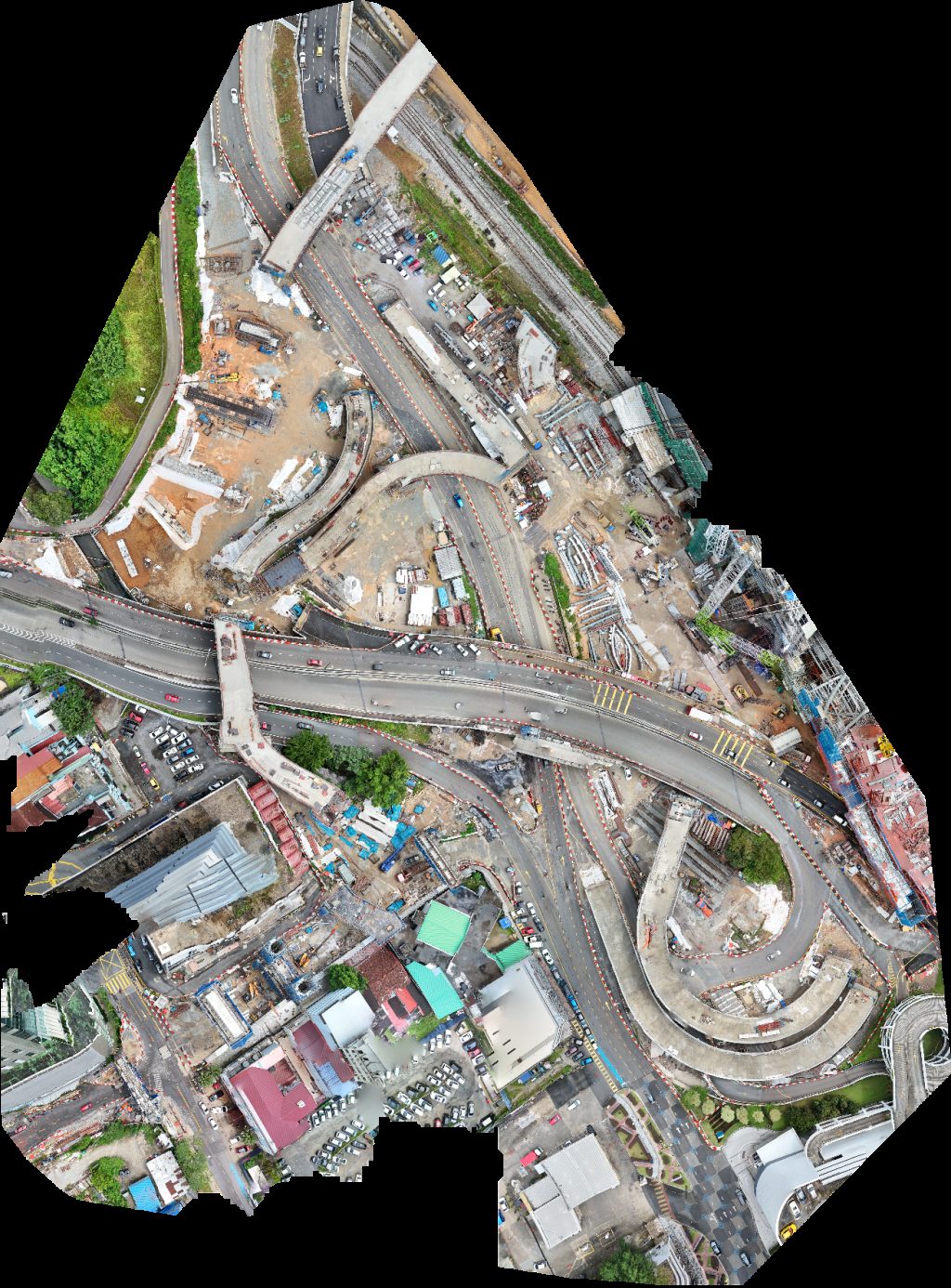
 Orthophoto / Map
Drivor Car Rental JB Sentral Deliver point Trends Beauty Care
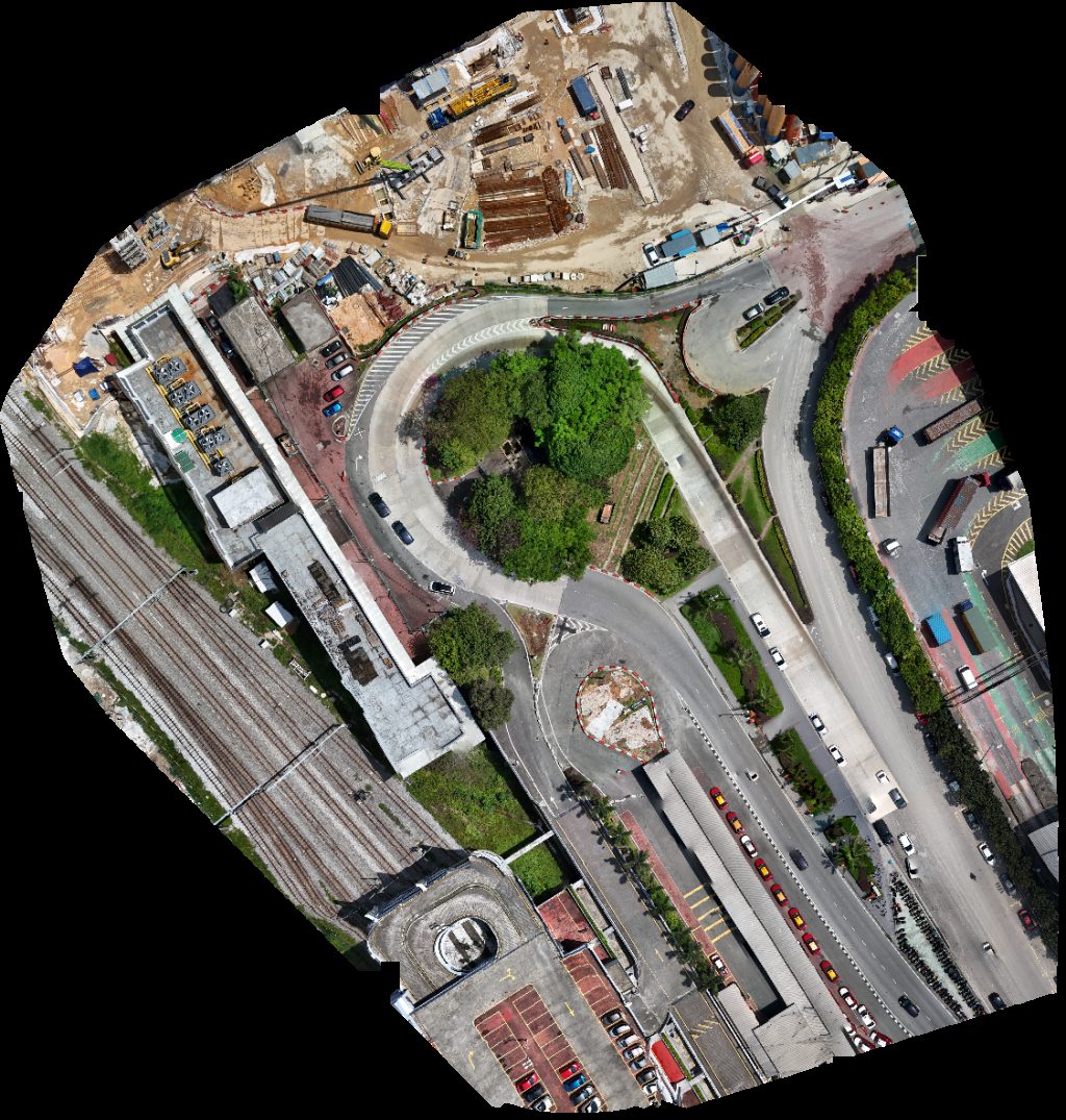
 Orthophoto / Map
TP Farm Sdn Bhd Tee Partners
 Orthophoto / Map
Taman nong chik CIQ Taxi Pick Up Point
No projects match your filters. Try clearing filters or searching a different term.