Drone maps & 3D models in Ontario, Canada
36 sub-areas · 8 public projects on this page · page 4 of 4
About drone maps in Ontario, Canada
Explore public orthophotos (high‑resolution maps) and 3D point clouds created by pilots in Ontario, Canada. Use the filters to switch between Maps and 3D, and the search to find specific sites.
FAQ for Ontario, Canada
What kinds of drone data are available?
Public orthophotos (maps) and 3D point clouds captured by local pilots.
How can I make models and maps like this?
Get started for free by making an account and uploading drone imagery.
Public projects
 Orthophoto / Map
Penske Logistics F J Furniture Warehouse
 Point Cloud / 3D
Novacare Pest Control Shotbysiddabas
 Orthophoto / Map
Riverside 1a B
 Point Cloud / 3D
Elena Design Interiors Upper Highland Cres at Owen Blvd
 Point Cloud / 3D
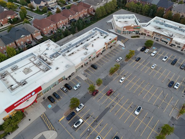
Shoppes on Dundas Joshua Creek Animal Hospital
 Point Cloud / 3D
Missteezah Design Novacare Pest Control
 Point Cloud / 3D
Dog House Teeth Cleaning Sheepville Dairy
 Point Cloud / 3D
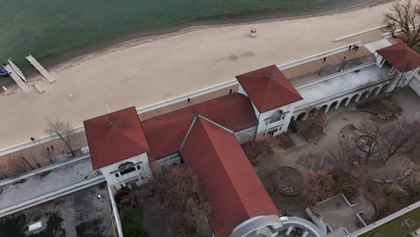
Sunnyside Pavilion Cafe Pavillion
No projects match your filters. Try clearing filters or searching a different term.