Drone maps & 3D models in Greater Sudbury, Ontario, Canada
3 sub-areas · 9 public projects on this page
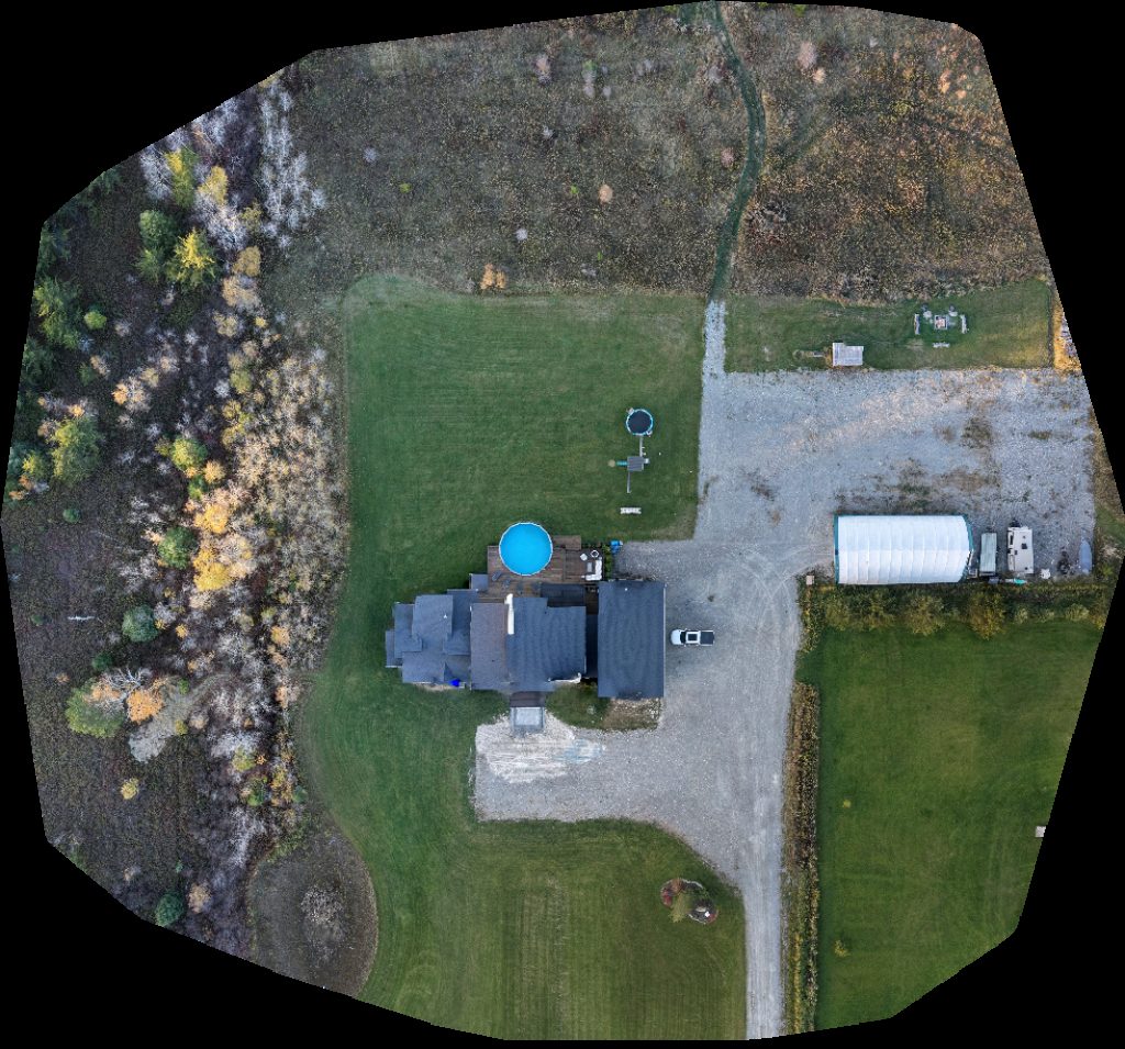
About drone maps in Greater Sudbury, Ontario, Canada
Explore public orthophotos (high‑resolution maps) and 3D point clouds created by pilots in Greater Sudbury, Ontario, Canada. Use the filters to switch between Maps and 3D, and the search to find specific sites.
FAQ for Greater Sudbury, Ontario, Canada
What kinds of drone data are available?
Public orthophotos (maps) and 3D point clouds captured by local pilots.
How can I make models and maps like this?
Get started for free by making an account and uploading drone imagery.
Public projects
 Orthophoto / Map
Matagamasi MNR Boat Launch Lake Land Lodge
 Orthophoto / Map
Vacant Homecare Plus Inc Centre pédagogique Conseil scolaire du Grand Nord
 Orthophoto / Map
Wild Wonders Verdant Fields Farm
 Orthophoto / Map
Auto Body Deswik
 Orthophoto / Map
Auto Body Deswik
 Point Cloud / 3D
Bedford Tot Lot JFZ
 Point Cloud / 3D
CKM Styling Early Childhood Educators Qualifications Program
 Orthophoto / Map
Early Childhood Educators Qualifications Program Infant Development
 Orthophoto / Map
Goliathtech Fergie Homes and construction Inc
No projects match your filters. Try clearing filters or searching a different term.