Drone maps & 3D models in Toronto, Ontario, Canada
4 sub-areas · 10 public projects on this page
About drone maps in Toronto, Ontario, Canada
Explore public orthophotos (high‑resolution maps) and 3D point clouds created by pilots in Toronto, Ontario, Canada. Use the filters to switch between Maps and 3D, and the search to find specific sites.
FAQ for Toronto, Ontario, Canada
What kinds of drone data are available?
Public orthophotos (maps) and 3D point clouds captured by local pilots.
How can I make models and maps like this?
Get started for free by making an account and uploading drone imagery.
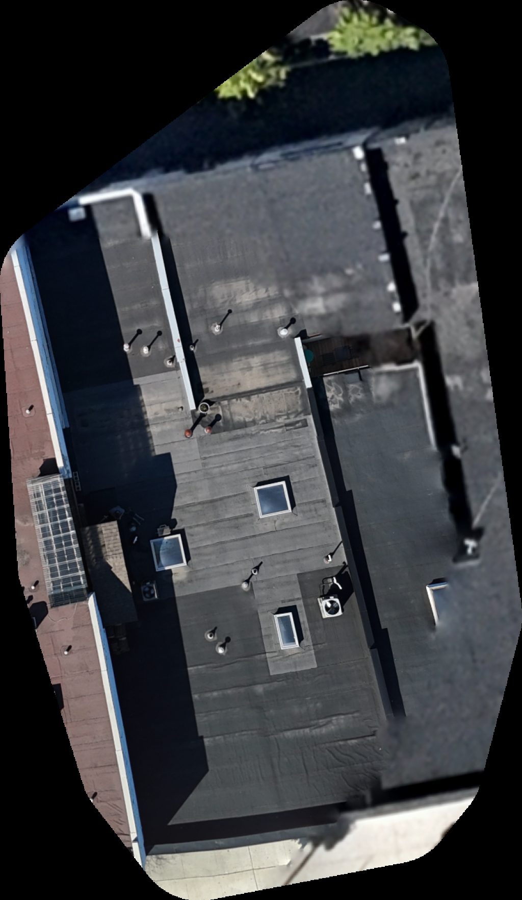
Public projects
 Point Cloud / 3D
ECI Stadium Etobicoke Collegiate Institute
 Point Cloud / 3D
Tom Riley Park Tennis Courts Royal York Baseball
 Orthophoto / Map
Queensway Service Centre 134 Park Lawn Rd
 Point Cloud / 3D
United Martial Arts Academy Royal Garage Doors
 Orthophoto / Map
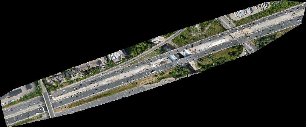
Park Lawn Rd at Gardiner Expressway WB on Ramp 134
 Orthophoto / Map
Queensway Service Centre PawsAbilities Pet Services
 Orthophoto / Map
Blvd Clinic Eminent Beauty Centre
 Orthophoto / Map
Queensway Service Centre Cardamints
 Point Cloud / 3D
Elena Design Interiors Upper Highland Cres at Owen Blvd
 Point Cloud / 3D
Sunnyside Pavilion Cafe Pavillion
No projects match your filters. Try clearing filters or searching a different term.