Drone maps & 3D models in ZA
7 sub-areas · 3 public projects on this page · page 2 of 2
About drone maps in ZA
Explore public orthophotos (high‑resolution maps) and 3D point clouds created by pilots in ZA. Use the filters to switch between Maps and 3D, and the search to find specific sites.
FAQ for ZA
What kinds of drone data are available?
Public orthophotos (maps) and 3D point clouds captured by local pilots.
How can I make models and maps like this?
Get started for free by making an account and uploading drone imagery.
Browse areas
Public projects
 Point Cloud / 3D
New Horizon On Empire
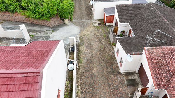
 Orthophoto / Map
MASTER STREET HILL Sikhulile educare centre
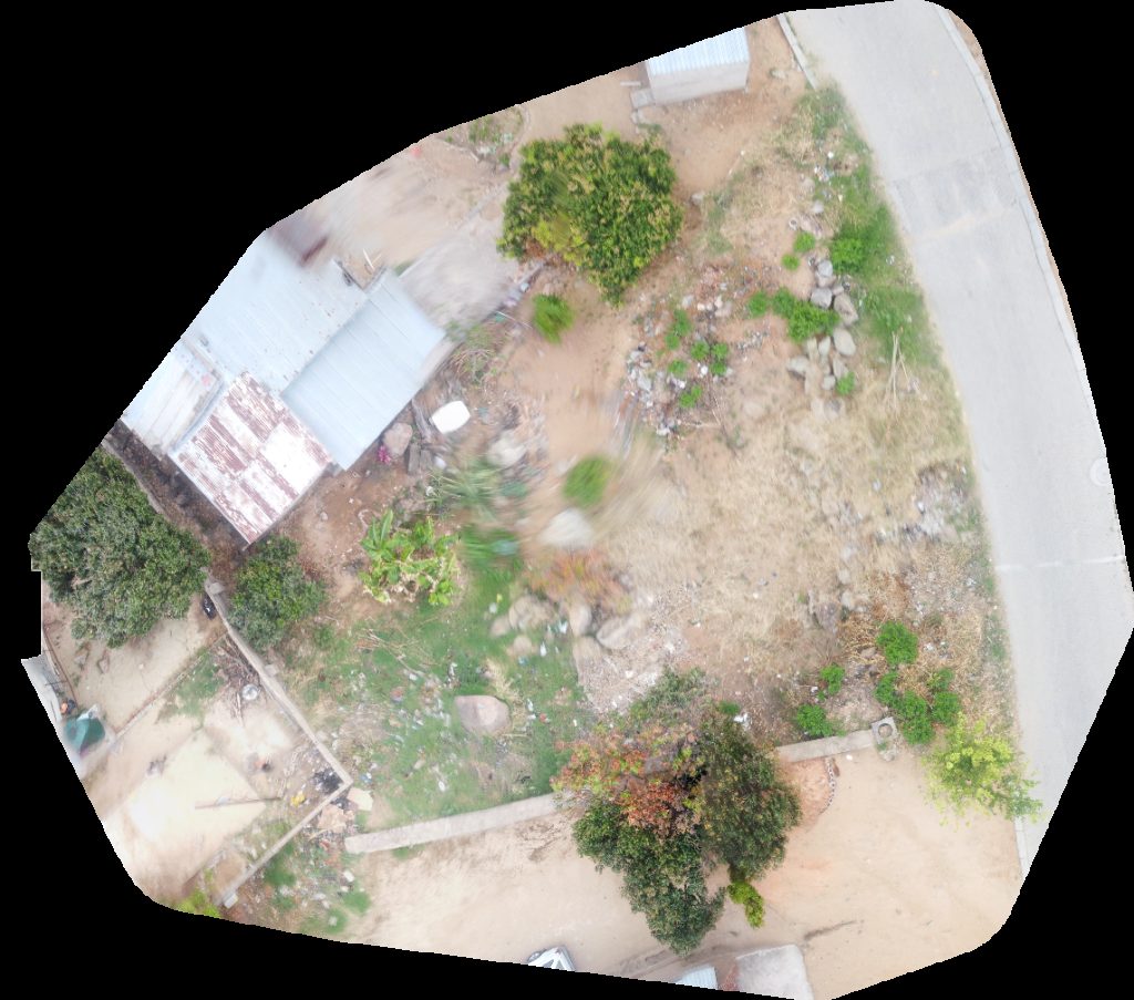
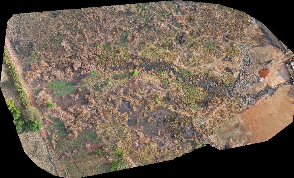 Orthophoto / Map
Moreleta Duifies Creche Cum Kleuterskool Woodlands Village Clinic Plastic View
No projects match your filters. Try clearing filters or searching a different term.