Drone maps & 3D models in Western Cape, South Africa
5 sub-areas · 6 public projects on this page
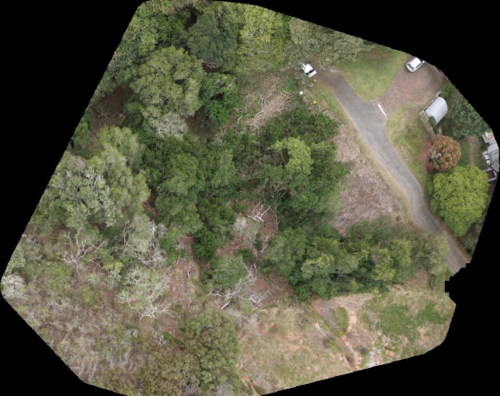
About drone maps in Western Cape, South Africa
Explore public orthophotos (high‑resolution maps) and 3D point clouds created by pilots in Western Cape, South Africa. Use the filters to switch between Maps and 3D, and the search to find specific sites.
FAQ for Western Cape, South Africa
What kinds of drone data are available?
Public orthophotos (maps) and 3D point clouds captured by local pilots.
How can I make models and maps like this?
Get started for free by making an account and uploading drone imagery.
Public projects
 Point Cloud / 3D
Belurana AmZee Three Bedroom Apartment Ocean Two 27 Entire Place
 Orthophoto / Map
Hill House Vioolskloof Farm Tesselaarsdal
 Point Cloud / 3D
Nikkie Rossouw Properties Whispering Tree Albertinia
 Point Cloud / 3D
Fijnebos Spa Botlierskop Tented Lodge
 Point Cloud / 3D
Kanon Private Nature Reserve Cannon Valley Estate
 Orthophoto / Map
Lake Knysna Executive Brokers
No projects match your filters. Try clearing filters or searching a different term.