Drone maps & 3D models in Colorado, United States
27 sub-areas · 5 public projects on this page · page 3 of 3
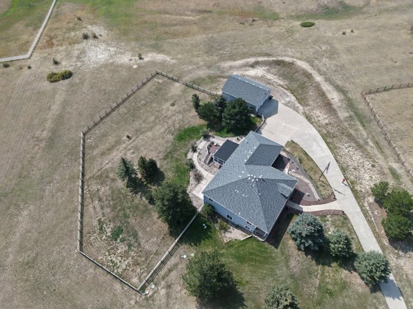
About drone maps in Colorado, United States
Explore public orthophotos (high‑resolution maps) and 3D point clouds created by pilots in Colorado, United States. Use the filters to switch between Maps and 3D, and the search to find specific sites.
FAQ for Colorado, United States
What kinds of drone data are available?
Public orthophotos (maps) and 3D point clouds captured by local pilots.
How can I make models and maps like this?
Get started for free by making an account and uploading drone imagery.
Public projects
 Point Cloud / 3D
Hope Floats Counseling Tanks Strength and Conditioning
 Point Cloud / 3D
Cinemark Tinseltown and XD Jumpers Arcade
 Point Cloud / 3D
S Monaco St Newport Way LawToolBox
 Point Cloud / 3D
Mountain Packaging LLC Design Works
 Point Cloud / 3D
The Dexter Apartments Effective Deep Healing formerly BYQ
No projects match your filters. Try clearing filters or searching a different term.