Drone maps & 3D models in Co, US
26 sub-areas · 24 public projects on this page · page 2 of 3
About drone maps in Co, US
Explore public orthophotos (high‑resolution maps) and 3D point clouds created by pilots in Co, US. Use the filters to switch between Maps and 3D, and the search to find specific sites.
FAQ for Co, US
What kinds of drone data are available?
Public orthophotos (maps) and 3D point clouds captured by local pilots.
How can I make models and maps like this?
Get started for free by making an account and uploading drone imagery.
Browse areas
- Denver (8)
- Estes Park (4)
- Lafayette (4)
- Brighton (3)
- Colorado Springs (3)
- Pueblo West (3)
- Berthoud (2)
- Broomfield (2)
- Elizabeth (2)
- Longmont (2)
- Pueblo (2)
- South Fork (2)
- Windsor (2)
- Cañon City (1)
- Centennial (1)
- Commerce City (1)
- Creede (1)
- Englewood (1)
- Fort Collins (1)
- Glenwood Springs (1)
- Gunnison (1)
- Jefferson County (1)
- Johnstown (1)
- Kiowa (1)
- Livermore (1)
- Loveland (1)
Public projects
 Orthophoto / Map
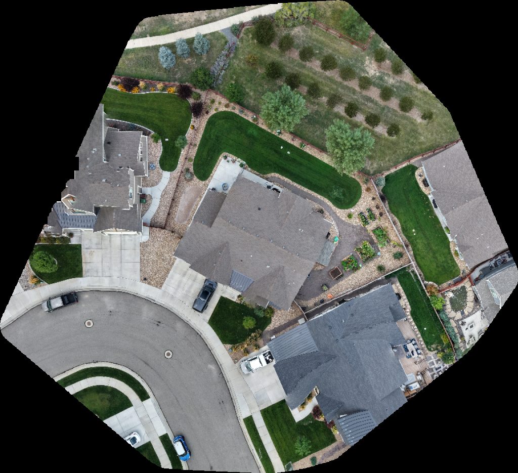
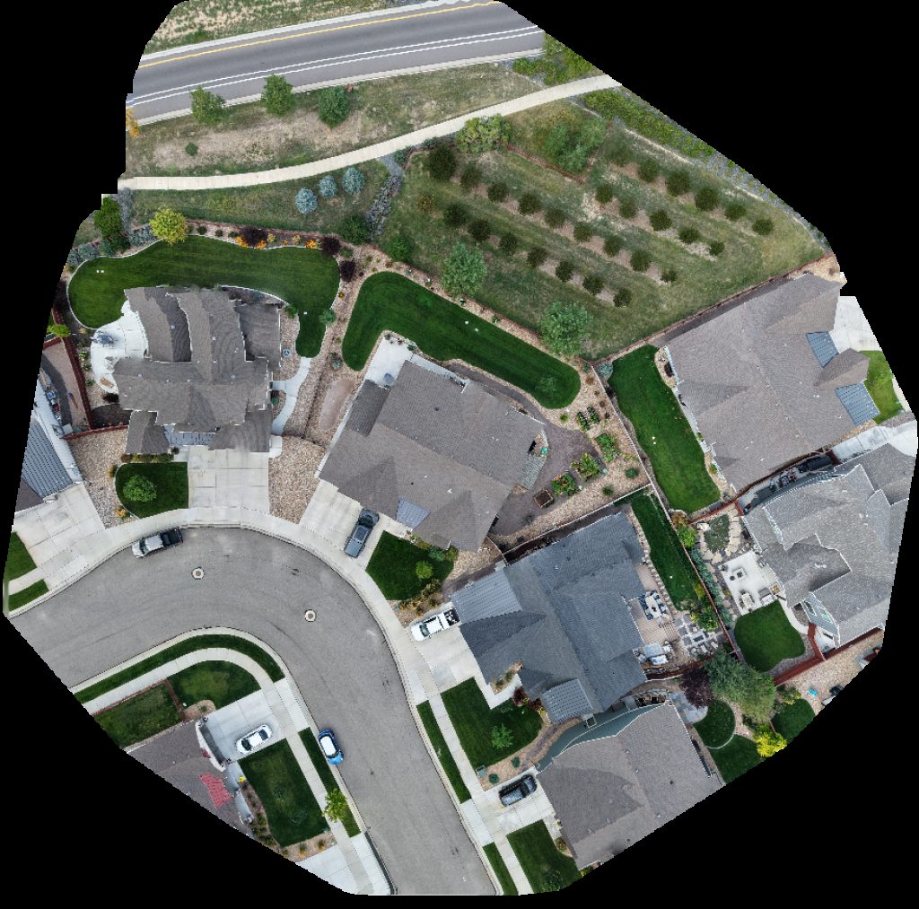
The Dragonfly Main House
 Point Cloud / 3D
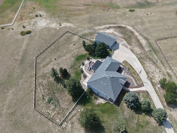
Legacy Electrical Inc gorgeous modern cabin on private ranch
 Point Cloud / 3D
Virginia Dale Point of Interest Overland Trail Stage Station Cemetery
 Point Cloud / 3D
Camry Lot South Auraria Pkwy 7th St
 Orthophoto / Map
Jungle House Ember Stitch
 Orthophoto / Map
D L Small Engine Repair Progressive Electric Services
 Orthophoto / Map
Agni Soma Leisure Hair Studio
 Orthophoto / Map
Anzalone Avarella Studios Compute IT LLC
 Point Cloud / 3D
Sierra Vista Elementary School Jill Y Lampela PsyD
 Point Cloud / 3D
Sierra Vista Elementary School Porcelain and Pottery
 Orthophoto / Map
On Demand Concrete LLC Mobile Mix
 Orthophoto / Map
Fowler Chevrolet ChargePoint Charging Station
 Point Cloud / 3D
Creative Lifting Services Inc S Steel
 Orthophoto / Map
Northern Treatment Plant Metro Water Recovery
 Point Cloud / 3D
Town of Water Division Kearney Sons Excavating
 Orthophoto / Map
Amazon Locker Eyas Bitcoin Depot ATM
 Point Cloud / 3D
Affordable Hyperbaric Solutions LLC Xanadu Alpacas
 Point Cloud / 3D
Creation Rock Red Rocks Visitor Center
 Point Cloud / 3D
Beo Mobility Element One Energy
 Point Cloud / 3D
S Cherry St Tennessee Ave Felicia Greher PHD
 Orthophoto / Map
Beauty Benefits Festival Park
 Orthophoto / Map
Beauty Benefits Festival Park
 Point Cloud / 3D
COVID 19 vaccine location Broadmoor World Arena The
 Point Cloud / 3D
Hope Floats Counseling Tanks Strength and Conditioning
No projects match your filters. Try clearing filters or searching a different term.