Drone maps & 3D models in Sweden
12 sub-areas · 13 public projects on this page · page 2 of 2
About drone maps in Sweden
Explore public orthophotos (high‑resolution maps) and 3D point clouds created by pilots in Sweden. Use the filters to switch between Maps and 3D, and the search to find specific sites.
FAQ for Sweden
What kinds of drone data are available?
Public orthophotos (maps) and 3D point clouds captured by local pilots.
How can I make models and maps like this?
Get started for free by making an account and uploading drone imagery.
Public projects
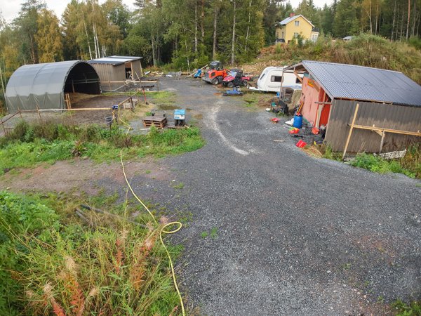
 Point Cloud / 3D
PostNord Företagscenter Postombud
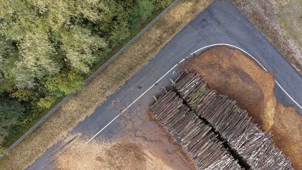
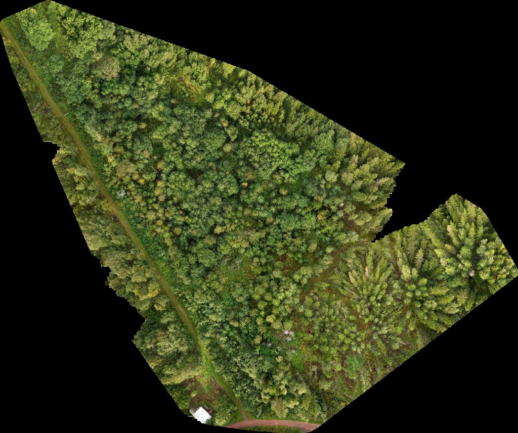
 Orthophoto / Map
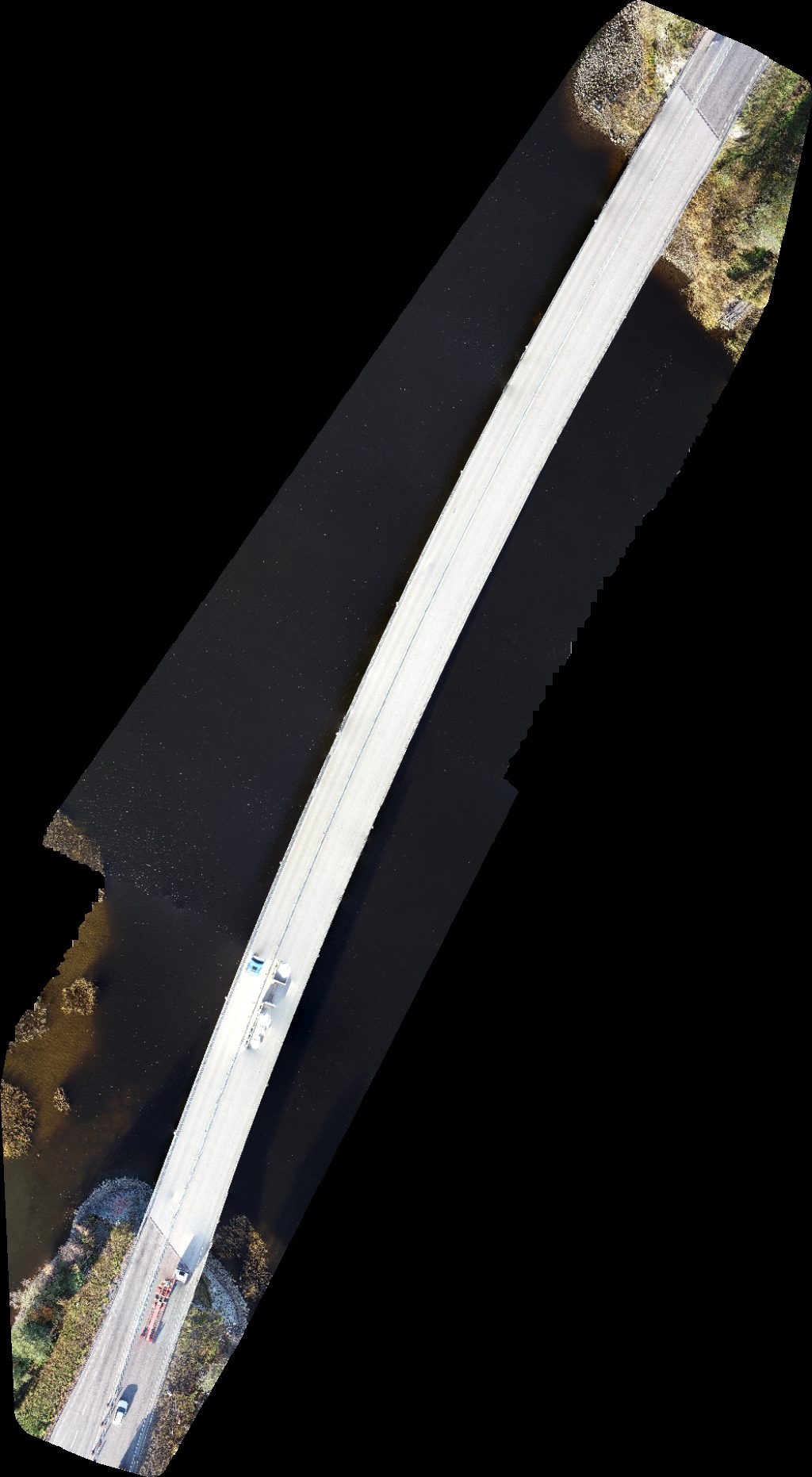
Bergsviksbron E4 Öholmabron
 Orthophoto / Map
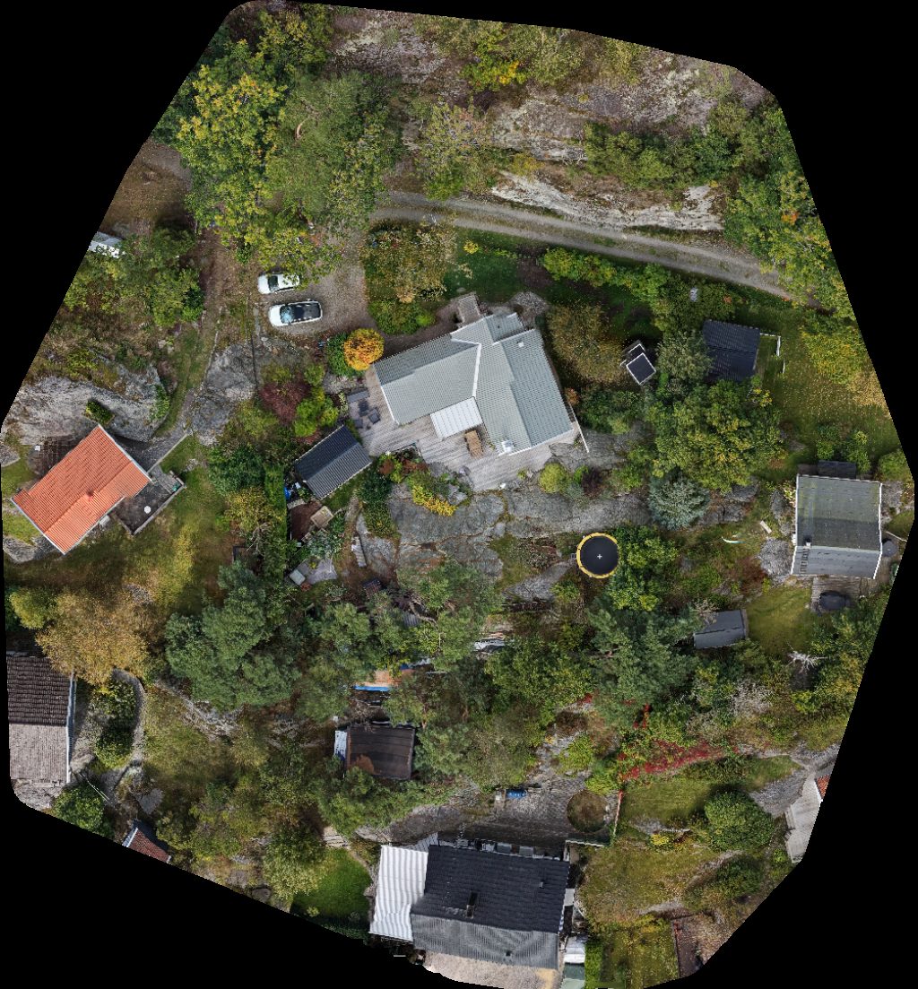
Ödsmål badplats Ödsmåls Mosse Byväg
 Point Cloud / 3D
Böle Krångede Bergvallens Stugby
 Point Cloud / 3D
Böle Krångede Bergvallens Stugby
 Orthophoto / Map
Ammerån naturreservat Ammer Travbana
 Orthophoto / Map
Böle Krångede Bergvallens Stugby
 Orthophoto / Map
Ammer Travbana Ammerån naturreservat
 Orthophoto / Map
Böle Krångede Bergvallens Stugby
 Orthophoto / Map
Böle Krångede Bergvallens Stugby
 Orthophoto / Map
Bergvallens Stugby Böle Krångede
 Orthophoto / Map
Böle Krångede Bergvallens Stugby
 Orthophoto / Map
Böle Krångede Bergvallens Stugby
No projects match your filters. Try clearing filters or searching a different term.