Drone maps & 3D models in Vastra Gotaland County, Sweden
1 sub-areas · 5 public projects on this page
About drone maps in Vastra Gotaland County, Sweden
Explore public orthophotos (high‑resolution maps) and 3D point clouds created by pilots in Vastra Gotaland County, Sweden. Use the filters to switch between Maps and 3D, and the search to find specific sites.
FAQ for Vastra Gotaland County, Sweden
What kinds of drone data are available?
Public orthophotos (maps) and 3D point clouds captured by local pilots.
How can I make models and maps like this?
Get started for free by making an account and uploading drone imagery.
Public projects
 Orthophoto / Map
Kulturskolan Göteborgs Stad Majorna Kungsladugårdsskolan
 Point Cloud / 3D
Laguna de Tres Amigos Parkering Vildmarksleden Härkeshult
 Point Cloud / 3D
Sea view chalet
 Point Cloud / 3D
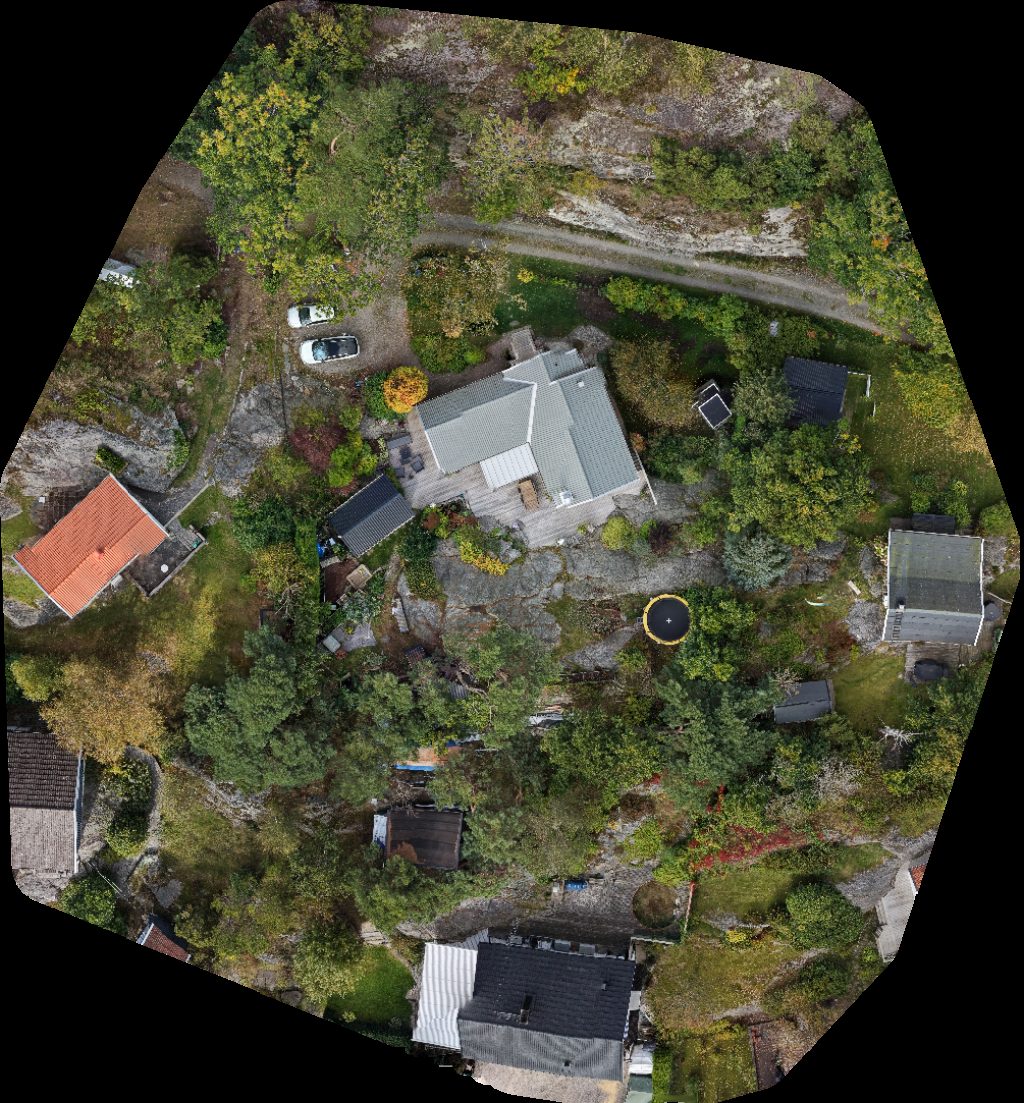
Sea view chalet
 Orthophoto / Map
Ödsmål badplats Ödsmåls Mosse Byväg
No projects match your filters. Try clearing filters or searching a different term.