Drone maps & 3D models in Zh, Netherlands
3 sub-areas · 3 public projects on this page
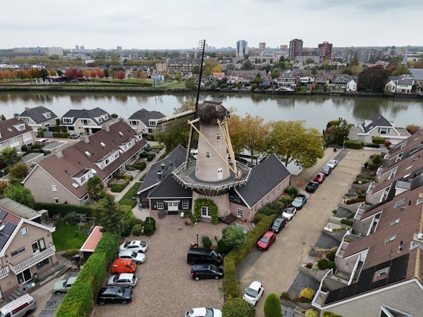
About drone maps in Zh, Netherlands
Explore public orthophotos (high‑resolution maps) and 3D point clouds created by pilots in Zh, Netherlands. Use the filters to switch between Maps and 3D, and the search to find specific sites.
FAQ for Zh, Netherlands
What kinds of drone data are available?
Public orthophotos (maps) and 3D point clouds captured by local pilots.
How can I make models and maps like this?
Get started for free by making an account and uploading drone imagery.
Public projects
 Orthophoto / Map
Taxi Brouwer Stucadoors en Afwerkbedrijf Hoek B V
 Point Cloud / 3D
DB Cargo locatie Kijfhoek Strukton Railinfra Services Vestiging Dordrecht
 Point Cloud / 3D
JV Sola Gratia ZoetSoet Dranken
No projects match your filters. Try clearing filters or searching a different term.