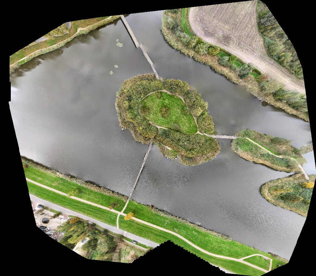
Drone maps & 3D models in NL
6 sub-areas · 22 public projects on this page
About drone maps in NL
Explore public orthophotos (high‑resolution maps) and 3D point clouds created by pilots in NL. Use the filters to switch between Maps and 3D, and the search to find specific sites.
FAQ for NL
What kinds of drone data are available?
Public orthophotos (maps) and 3D point clouds captured by local pilots.
How can I make models and maps like this?
Get started for free by making an account and uploading drone imagery.
Browse areas
Public projects
 Point Cloud / 3D
C Infra bv grondwerk riolering bestrating Glastechniek Martens
 Orthophoto / Map
Taxi Brouwer Stucadoors en Afwerkbedrijf Hoek B V
 Point Cloud / 3D
Theeterras Veldzicht Huisjes
 Orthophoto / Map
KFC Subway
 Point Cloud / 3D
VastgoedDrone Vastgoedstyling Opleiding
 Point Cloud / 3D
Het rondeel Bed Breakfast GEER
 Orthophoto / Map
Subway KFC
 Point Cloud / 3D
Kundig in handlijnkunde Buurtboekenkast Frederik van Eedenlaan 18 20 trap op
 Point Cloud / 3D
DB Cargo locatie Kijfhoek Strukton Railinfra Services Vestiging Dordrecht
 Point Cloud / 3D
Fietsknooppunt 48 ️ Treurenburg
 Point Cloud / 3D
Nipper Clipper CorrectBouw Elberse
 Orthophoto / Map
Labzy EVBox Charging Station
 Point Cloud / 3D
Labzy EVBox Charging Station
 Orthophoto / Map
Labzy EVBox Charging Station
 Point Cloud / 3D
Labzy In De Wolken
 Orthophoto / Map
Labzy In De Wolken
 Point Cloud / 3D
Nederlands Hervormde Kerk Bowling Strike Stones
 Orthophoto / Map
Suijkerbuijk Assurantiën Van Brussel Drs G J
 Point Cloud / 3D
JV Sola Gratia ZoetSoet Dranken
 Point Cloud / 3D
Dalton Kindcentrum Jonglaren Kinderopvang en Onderwijs Fysio Fit
 Point Cloud / 3D
European Paper Converter Group B V Jachtwerf van der Krogt
 Orthophoto / Map
Staaltjevakwerk Witte s Weerwerk
No projects match your filters. Try clearing filters or searching a different term.