Drone maps & 3D models in Johor Bahru, Johor Darul Ta Zim, MY — Bukit Chagar
2 public projects on this page
About drone maps in Johor Bahru, Johor Darul Ta Zim, MY — Bukit Chagar
Explore public orthophotos (high‑resolution maps) and 3D point clouds created by pilots in Johor Bahru, Johor Darul Ta Zim, MY — Bukit Chagar. Use the filters to switch between Maps and 3D, and the search to find specific sites.
FAQ for Johor Bahru, Johor Darul Ta Zim, MY — Bukit Chagar
What kinds of drone data are available?
Public orthophotos (maps) and 3D point clouds captured by local pilots.
How can I make models and maps like this?
Get started for free by making an account and uploading drone imagery.
Public projects
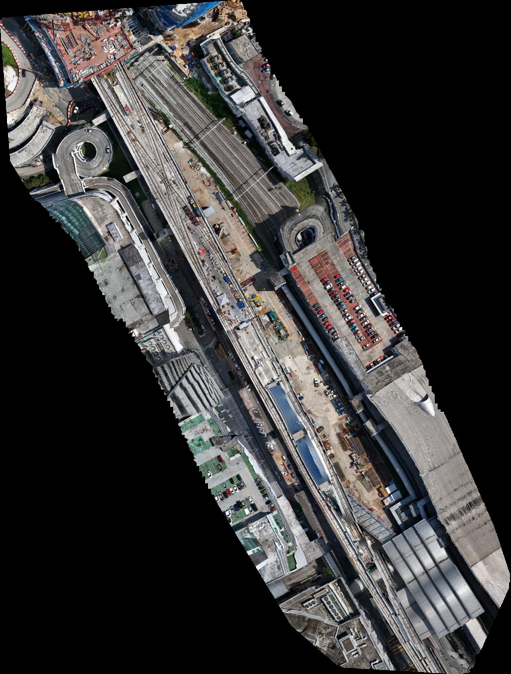 Orthophoto / Map
Drivor Car Rental JB Sentral Deliver point Trends Beauty Care
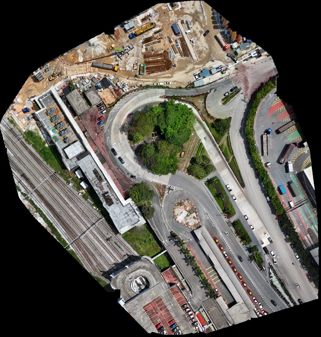 Orthophoto / Map
Taman nong chik CIQ Taxi Pick Up Point
No projects match your filters. Try clearing filters or searching a different term.