Drone maps & 3D models in Italy
18 sub-areas · 18 public projects on this page · page 2 of 2
About drone maps in Italy
Explore public orthophotos (high‑resolution maps) and 3D point clouds created by pilots in Italy. Use the filters to switch between Maps and 3D, and the search to find specific sites.
FAQ for Italy
What kinds of drone data are available?
Public orthophotos (maps) and 3D point clouds captured by local pilots.
How can I make models and maps like this?
Get started for free by making an account and uploading drone imagery.
Public projects
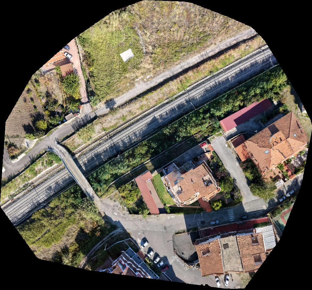
 Orthophoto / Map
Lido di Herzbluat_architecture
 Point Cloud / 3D
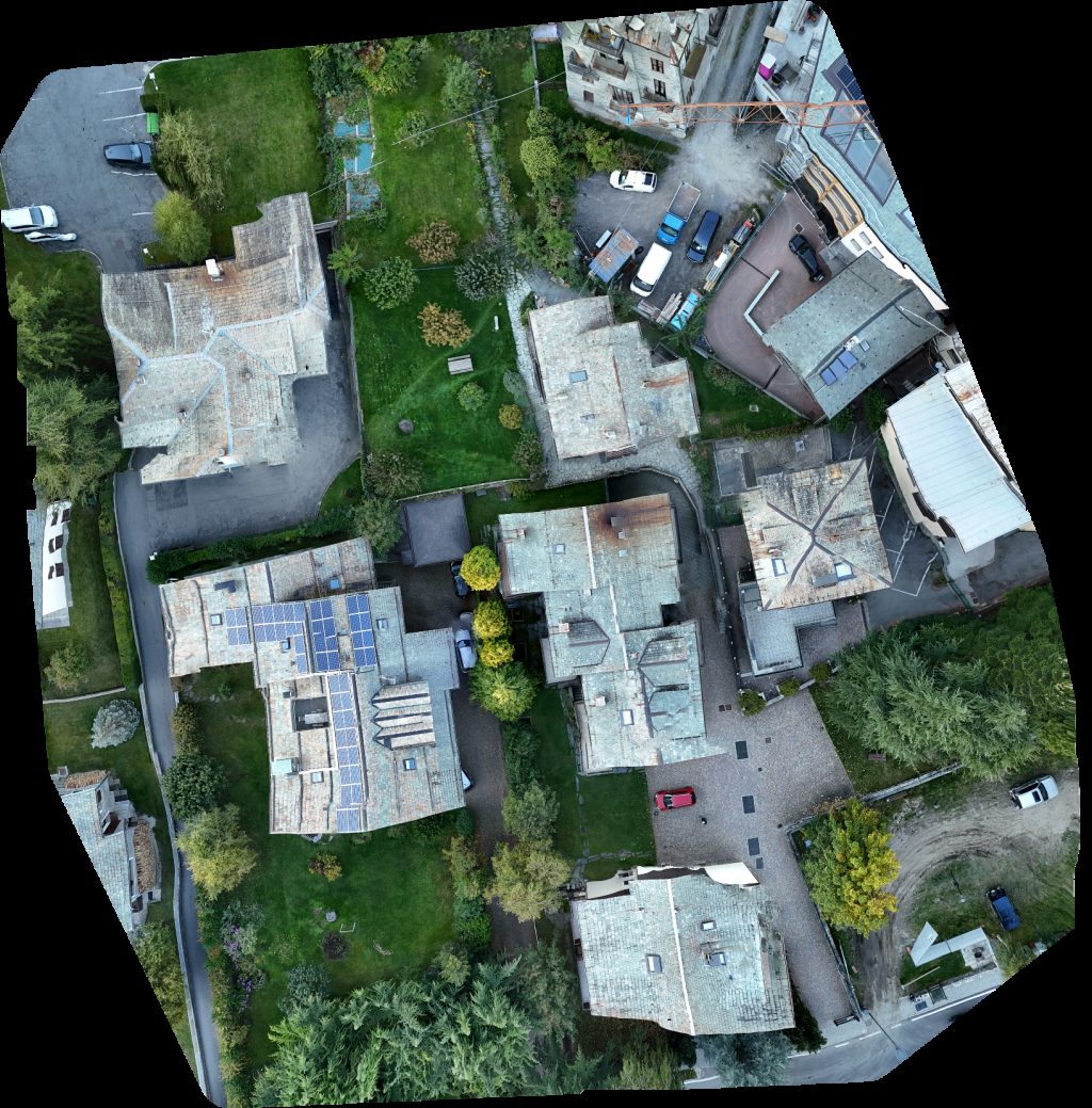
Mezzolara Scuola Media Quirico Filopanti
 Point Cloud / 3D
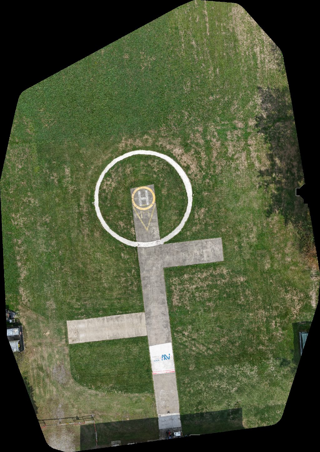
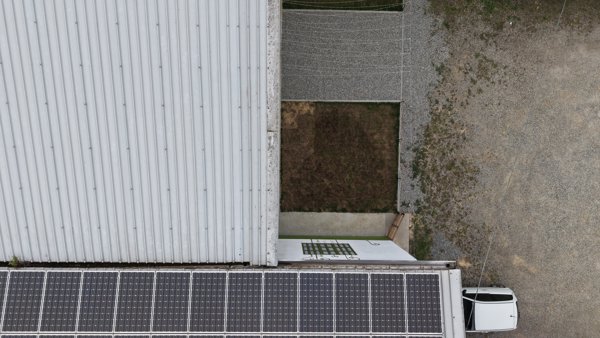
IMETS Research Development North West Service Compagnia Aerea Elicotteri
 Point Cloud / 3D
IMETS Research Development North West Service Compagnia Aerea Elicotteri
 Orthophoto / Map
Sintec srls New Delta Centro Medico Polifunzionale
 Point Cloud / 3D
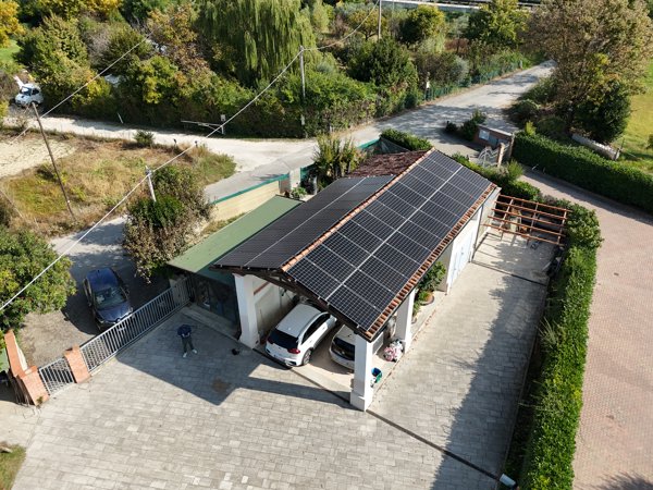
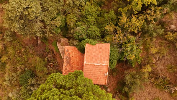
Santuario della Madonna Camera Centrale Elettrica Solare
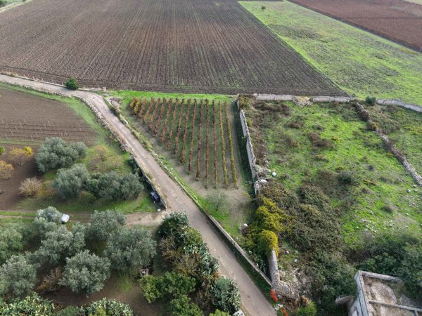
 Orthophoto / Map
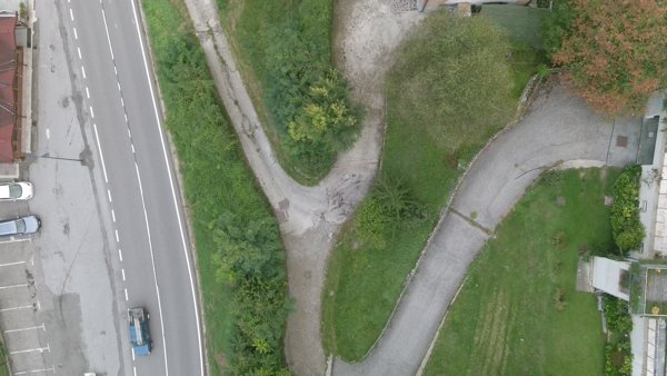
Monteparano Via Roccaforzata 142 Cantine PaoloLeo
 Point Cloud / 3D
Santuario della Madonna Camera Centrale Elettrica Solare
 Point Cloud / 3D
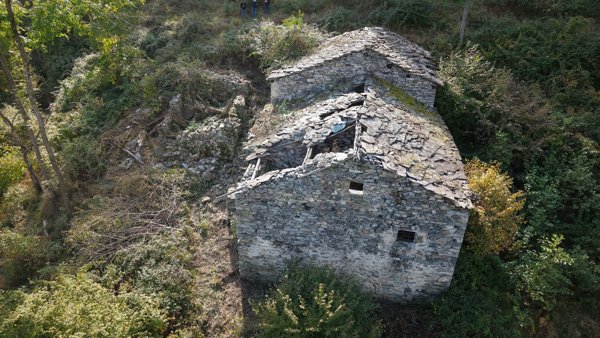
D g Verita
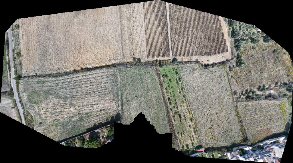
 Orthophoto / Map
Birrificio Reit Birra Stelvio EXPERIENCE BICYCLE CAFE
 Point Cloud / 3D
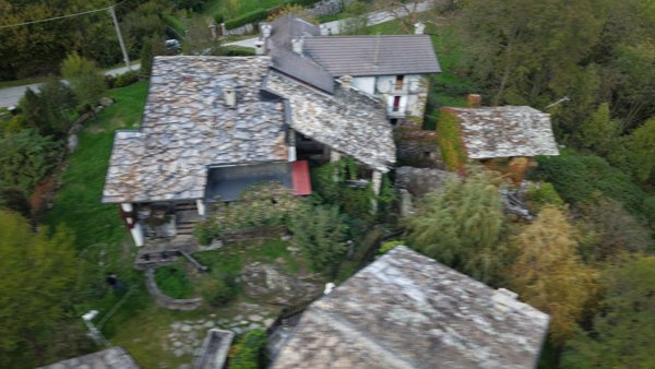
Serlone Montigli
 Point Cloud / 3D
Frazione Galenca
 Orthophoto / Map
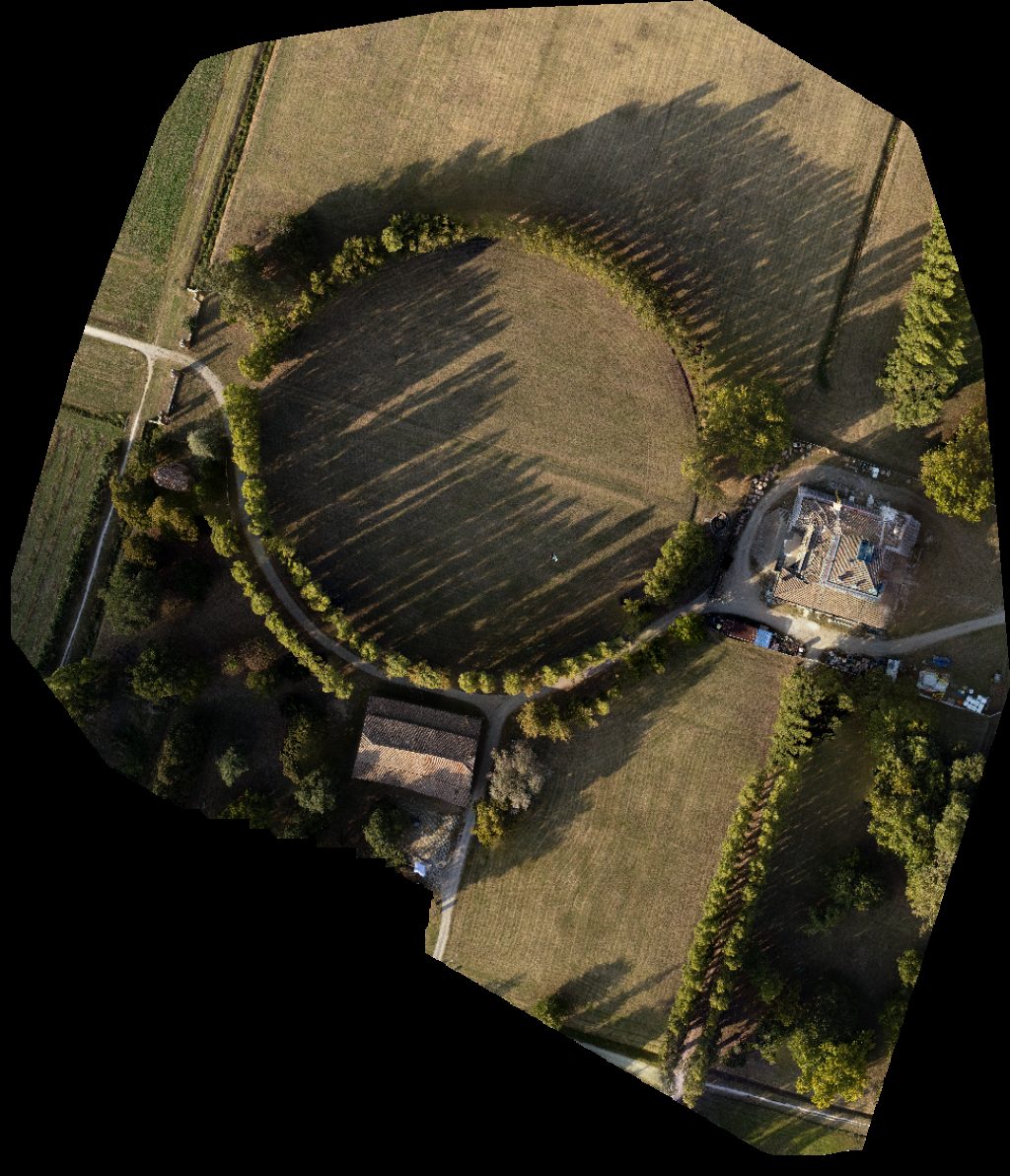
Parco Villa Sorra
 Point Cloud / 3D
Al Pescatore Bar Ristorante Pizzeria Residence
 Point Cloud / 3D
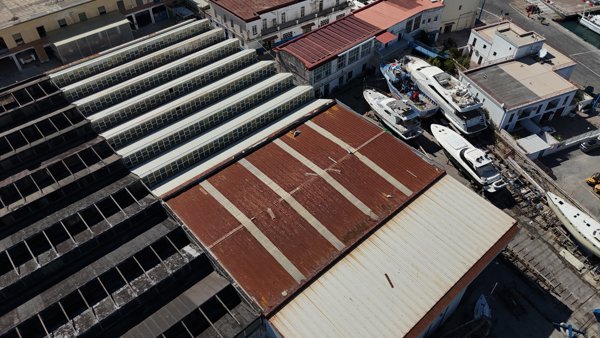
Eurofish Napoli Srl Sede Di Latomare Pescheria
 Point Cloud / 3D
Monte Caputo Casa Accoglienza Per Anziani La Panoramica
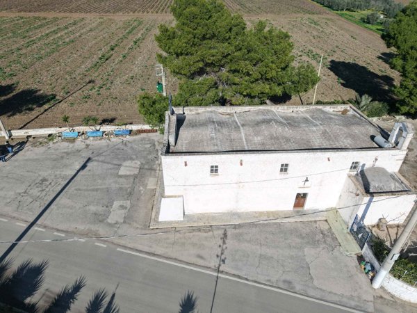
 Orthophoto / Map
IMETS Research Development Aviosuperficie Pegasus
 Point Cloud / 3D
IMETS Research Development North West Service Compagnia Aerea Elicotteri
No projects match your filters. Try clearing filters or searching a different term.