Drone maps & 3D models in Piemonte, Italy
3 sub-areas · 6 public projects on this page
About drone maps in Piemonte, Italy
Explore public orthophotos (high‑resolution maps) and 3D point clouds created by pilots in Piemonte, Italy. Use the filters to switch between Maps and 3D, and the search to find specific sites.
FAQ for Piemonte, Italy
What kinds of drone data are available?
Public orthophotos (maps) and 3D point clouds captured by local pilots.
How can I make models and maps like this?
Get started for free by making an account and uploading drone imagery.
Public projects
 Point Cloud / 3D
Recstruttura Studio Associato Lamberti Commercialista Consulente del Lavoro CAF centro raccolta TFDC
 Point Cloud / 3D
Falcone Management Car srl Az Agr Collesei Matteo
 Point Cloud / 3D
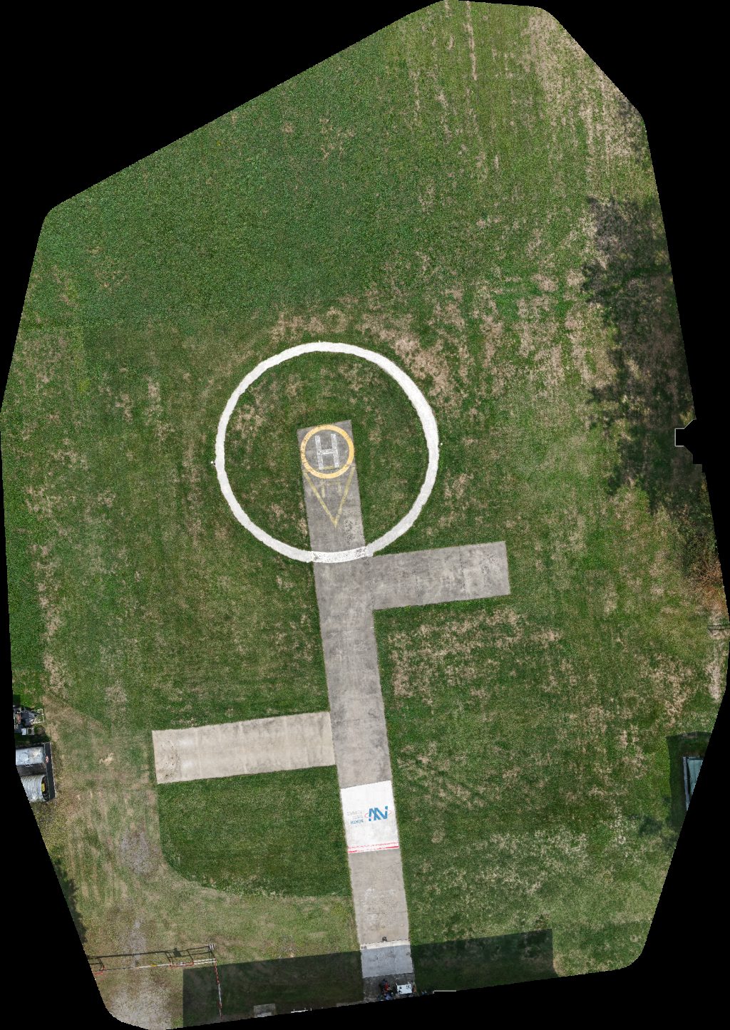
IMETS Research Development North West Service Compagnia Aerea Elicotteri
 Point Cloud / 3D
IMETS Research Development North West Service Compagnia Aerea Elicotteri
 Orthophoto / Map
IMETS Research Development Aviosuperficie Pegasus
 Point Cloud / 3D
IMETS Research Development North West Service Compagnia Aerea Elicotteri
No projects match your filters. Try clearing filters or searching a different term.