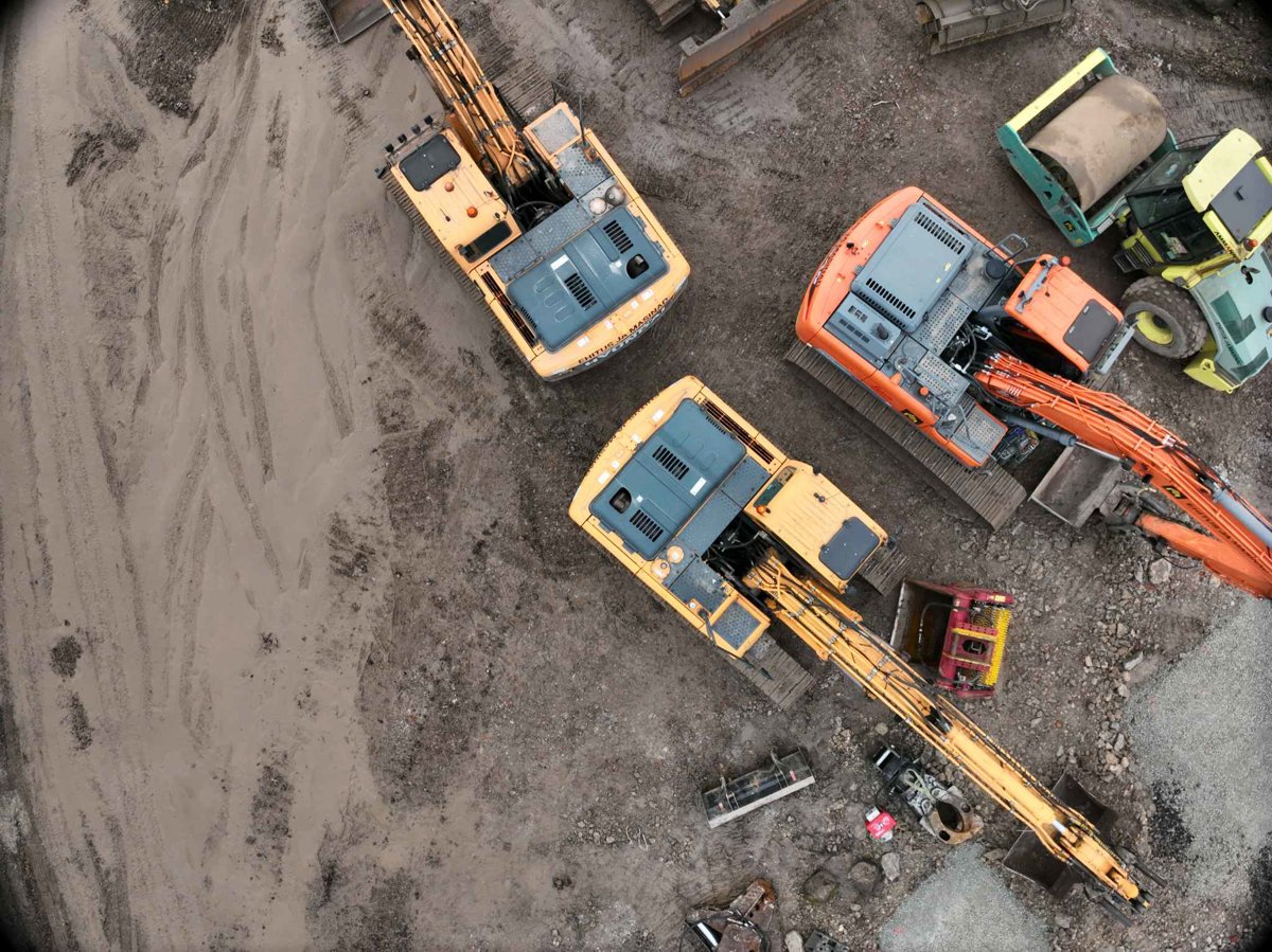
AerialTwin is designed for mapping, photogrammetry, construction progress, infrastructure documentation,
and site monitoring workflows where a single drone model is not enough. Instead of treating each model or
orthomosaic as a separate deliverable, AerialTwin lets you organize models into a timeline so clients,
teams, and stakeholders can see how a property, project, or asset changes over time.
This is useful when you capture the same site repeatedly. Each imported point cloud, 3D model, map, or
orthomosaic can become part of a dated site history. Users can move through the timeline, compare older
and newer models, review what changed, and keep visual records tied to the actual location.
Progress tracking
Show how a jobsite, property, asset, or landscape changed between drone flights instead of
only delivering isolated files.
Model-to-model comparison
Help users compare drone models over time, measure differences, and understand what physically
changed on the site.
Context attached to the site
Add notes, photos, and videos to specific maps or point clouds so important field observations
stay connected to the visual record.
Easy AerialModel imports
AerialTwin is intended to work naturally with AerialModel outputs, making it easier to bring
processed drone models into a timeline-based digital twin workflow.
Why this matters:
For mapping and photogrammetry users, AerialTwin helps turn drone deliverables into an ongoing site
intelligence product. Instead of only giving someone a model, map, or downloadable file, you can give
them a place to revisit, compare, measure, annotate, and monitor over time.