Drone maps & 3D models in Valparaiso, Chile
3 sub-areas · 5 public projects on this page
About drone maps in Valparaiso, Chile
Explore public orthophotos (high‑resolution maps) and 3D point clouds created by pilots in Valparaiso, Chile. Use the filters to switch between Maps and 3D, and the search to find specific sites.
FAQ for Valparaiso, Chile
What kinds of drone data are available?
Public orthophotos (maps) and 3D point clouds captured by local pilots.
How can I make models and maps like this?
Get started for free by making an account and uploading drone imagery.
Public projects
 Orthophoto / Map
PMGD RIMINI Catalán y Echeverría
 Orthophoto / Map
Catalán y Echeverría Abogada Elizabeth Corretaje SPA
 Point Cloud / 3D
Sitrans Bajo Estadio Municipal Dr Olegario Enriquez
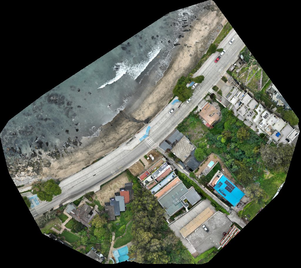 Orthophoto / Map
Rosa Leiva Leon Playa Negra
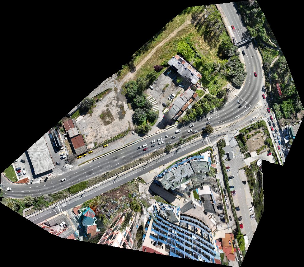 Orthophoto / Map
Condominio Remodelación Balmaceda Division placeres baron
No projects match your filters. Try clearing filters or searching a different term.