Drone maps & 3D models in Chile
8 sub-areas · 23 public projects on this page
About drone maps in Chile
Explore public orthophotos (high‑resolution maps) and 3D point clouds created by pilots in Chile. Use the filters to switch between Maps and 3D, and the search to find specific sites.
FAQ for Chile
What kinds of drone data are available?
Public orthophotos (maps) and 3D point clouds captured by local pilots.
How can I make models and maps like this?
Get started for free by making an account and uploading drone imagery.
Public projects
 Point Cloud / 3D
Grandon Aravena Alexis Ramirez Pineida Luis
 Point Cloud / 3D
Black Swan Farm Santuario de La Naturaleza Carlos Anwandter
 Point Cloud / 3D
Base Cruz del Ciprés Campamento Cipres
 Point Cloud / 3D
Santuario San Sebastián Familia torres mesa
 Orthophoto / Map
Letras valle lo campino II FF Norte OHLA
 Orthophoto / Map
Cabaña Erwin hospedaje
 Orthophoto / Map
Embajada de Grecia PC1013 Bernardo Larraín C esq Los Flamencos
 Orthophoto / Map
Inmobiliaria California Ltda Embajada de Grecia
 Point Cloud / 3D
Base Cruz del Ciprés Campamento Cipres
 Orthophoto / Map
PMGD RIMINI Catalán y Echeverría
 Orthophoto / Map
Catalán y Echeverría Abogada Elizabeth Corretaje SPA
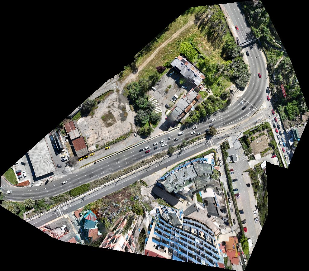
 Orthophoto / Map
Automotriz Kaufmann Streat Burger
 Point Cloud / 3D
Sitrans Bajo Estadio Municipal Dr Olegario Enriquez
 Point Cloud / 3D
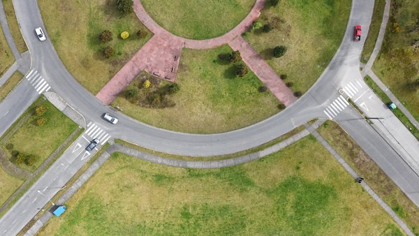
Rotonda Avenida Austral Regularice
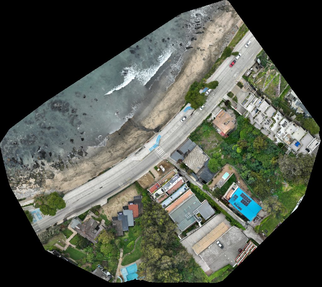 Orthophoto / Map
Rosa Leiva Leon Playa Negra
 Orthophoto / Map
Condominio Remodelación Balmaceda Division placeres baron
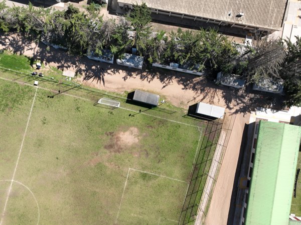 Point Cloud / 3D
IMIP Instituto Multidisciplinario de Investigación y Postgrado Gimnasio Universidad Coquimbo Chile
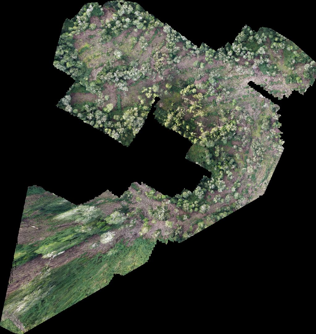 Orthophoto / Map
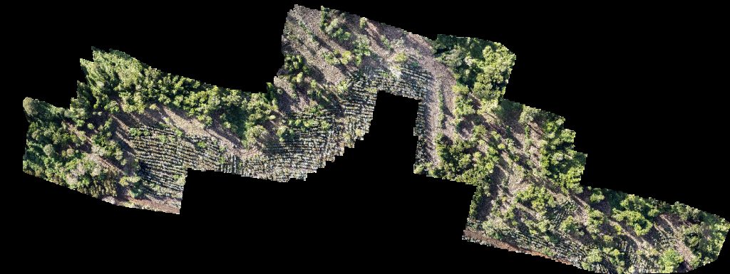
PREDIO RUCATAYO fundo boquial
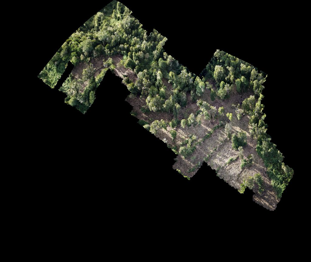 Orthophoto / Map
PREDIO RUCATAYO fundo boquial
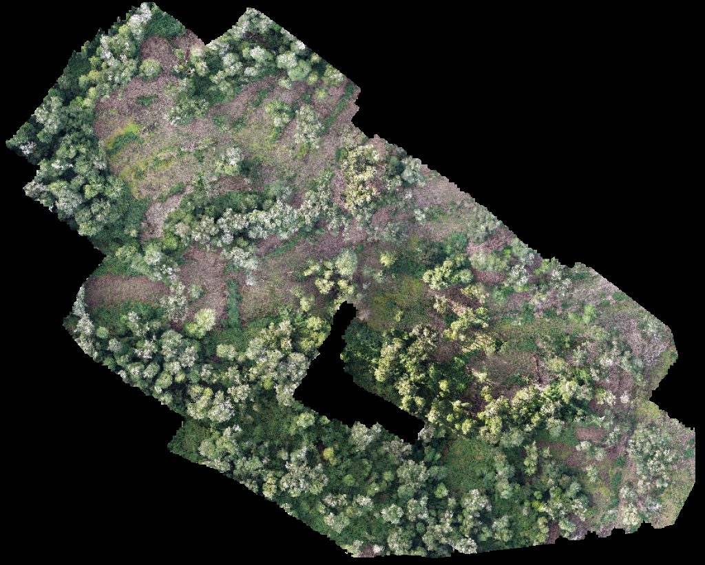
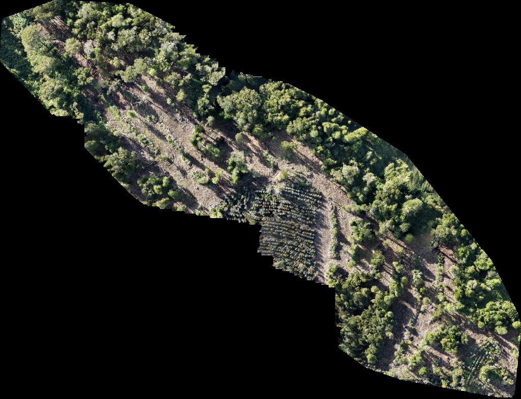 Orthophoto / Map
PREDIO RUCATAYO fundo boquial
 Orthophoto / Map
Posta Rural Pilpilcahuin Viña Trapi
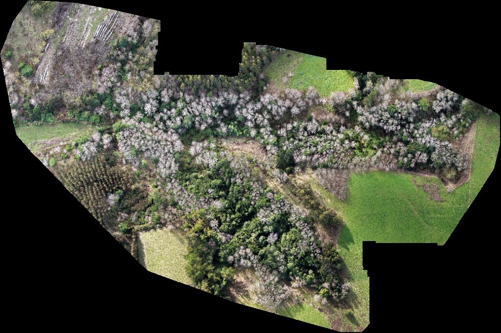
 Orthophoto / Map
PREDIO RUCATAYO fundo boquial
 Orthophoto / Map
PREDIO RUCATAYO fundo boquial
No projects match your filters. Try clearing filters or searching a different term.