Drone maps & 3D models in CA
10 sub-areas · 24 public projects on this page · page 9 of 10
About drone maps in CA
Explore public orthophotos (high‑resolution maps) and 3D point clouds created by pilots in CA. Use the filters to switch between Maps and 3D, and the search to find specific sites.
FAQ for CA
What kinds of drone data are available?
Public orthophotos (maps) and 3D point clouds captured by local pilots.
How can I make models and maps like this?
Get started for free by making an account and uploading drone imagery.
Browse areas
Public projects
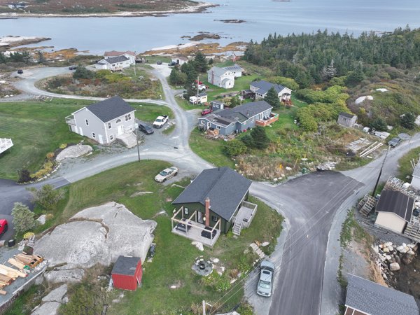 Point Cloud / 3D
Euros Standard Charlie s Place
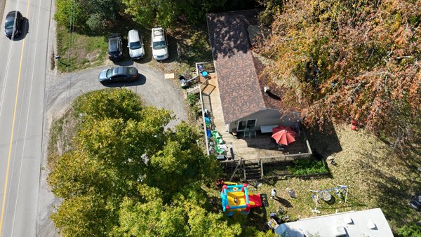 Point Cloud / 3D
O Grady Real Estate Brokerage Inc Deluxe Auto Glass Trim
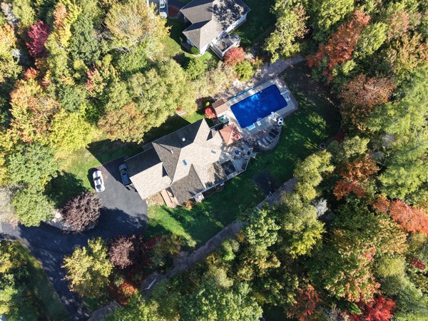 Point Cloud / 3D
Fox Hollow Childcare Centre Street Connection
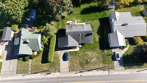 Point Cloud / 3D
Thomson Eldon G Eastern Precision Excavation
 Point Cloud / 3D
Robinson Park JWPros
 Orthophoto / Map
Richardson International Ltd Liquor Mart
 Point Cloud / 3D
Made on Main Grown
 Point Cloud / 3D
The place Jettkey Equipment Rentals Sales
 Point Cloud / 3D
Bishops Mills Park Tensen Framing Inc
 Point Cloud / 3D
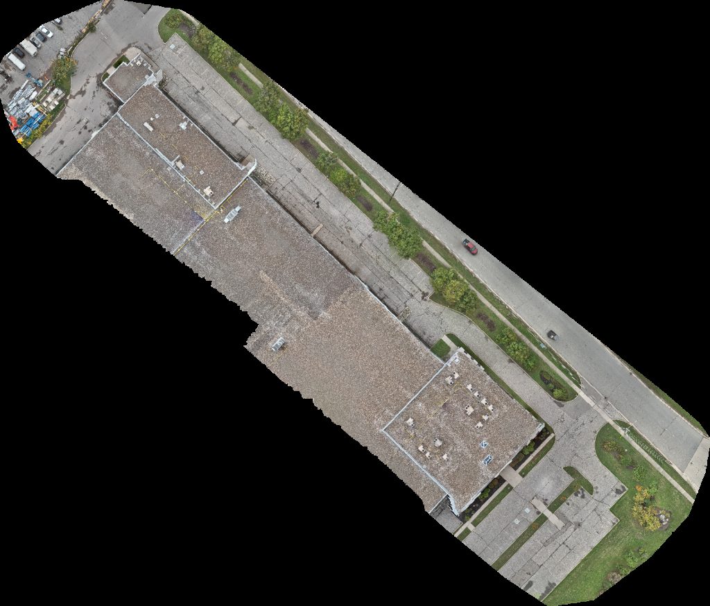
Bishops Mills Park Tensen Framing Inc
 Orthophoto / Map
Bishops Mills Park Tensen Framing Inc
 Orthophoto / Map
Hoadley Cemetery Evangelical Missionary Church
 Point Cloud / 3D
Tomahawk Tree Services Ltd Horse Wisdom Farm
 Orthophoto / Map
Hoadley Cemetery Evangelical Missionary Church
 Point Cloud / 3D
Proprio Direct Courtiers immobiliers Dentist
 Point Cloud / 3D
Penske Logistics F J Furniture Warehouse
 Point Cloud / 3D
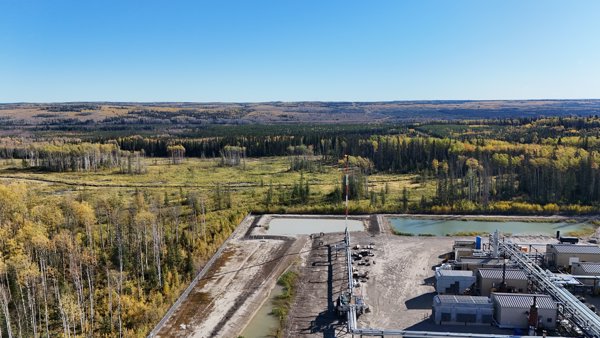
Todd Energy Gas Plant A 044 I 94 13 Tsaa Nuna Conservancy
 Orthophoto / Map
Penske Logistics F J Furniture Warehouse
 Point Cloud / 3D
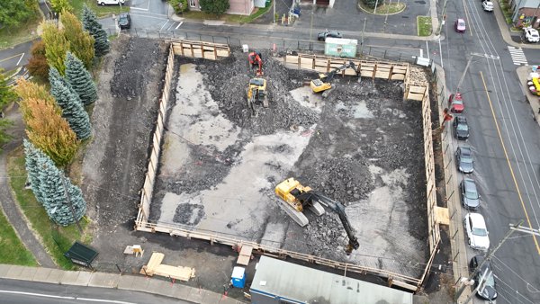
Societe Immobiliere Yvon Stationnement municipal
 Point Cloud / 3D
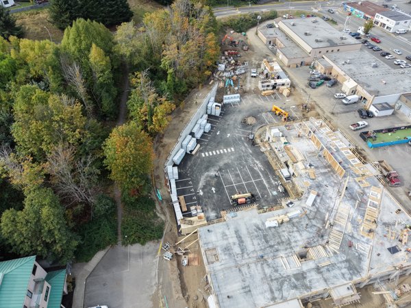
Cedar Ridge Apartments Broadstreet Properties Ltd Sweetpeas Childcare
 Orthophoto / Map
Cedar Ridge Apartments Broadstreet Properties Ltd Sweetpeas Childcare
 Point Cloud / 3D
Novacare Pest Control Shotbysiddabas
 Orthophoto / Map
Riverside 1a B
 Point Cloud / 3D
Elena Design Interiors Upper Highland Cres at Owen Blvd
No projects match your filters. Try clearing filters or searching a different term.