Drone maps & 3D models in Newfoundland and Labrador, Canada
4 sub-areas · 14 public projects on this page
About drone maps in Newfoundland and Labrador, Canada
Explore public orthophotos (high‑resolution maps) and 3D point clouds created by pilots in Newfoundland and Labrador, Canada. Use the filters to switch between Maps and 3D, and the search to find specific sites.
FAQ for Newfoundland and Labrador, Canada
What kinds of drone data are available?
Public orthophotos (maps) and 3D point clouds captured by local pilots.
How can I make models and maps like this?
Get started for free by making an account and uploading drone imagery.
Public projects
 Point Cloud / 3D
The Roost at Byrne s Store
 Point Cloud / 3D
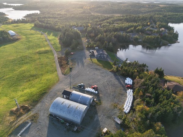
RAMONA s Design SHOP Cummins Sales and Service
 Point Cloud / 3D
RAMONA s Design SHOP Cummins Sales and Service
 Point Cloud / 3D
Hope Haven Sawh Veejai Dr
 Point Cloud / 3D
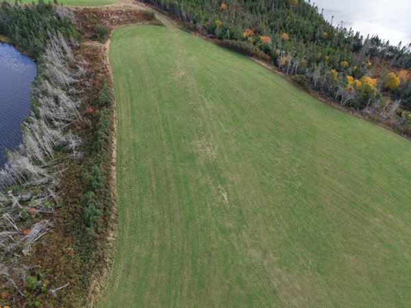
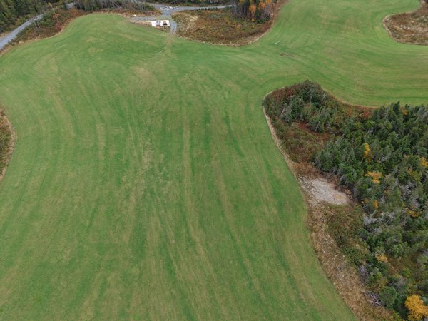
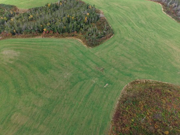
Whelan s Farm Mahers Cottage
 Point Cloud / 3D
Whelan s Farm Mahers Cottage
 Point Cloud / 3D
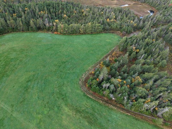
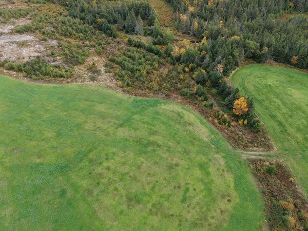
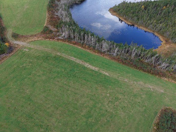
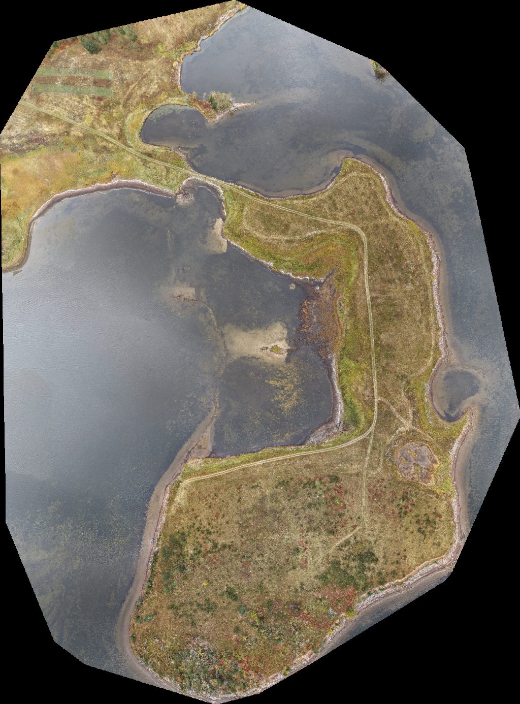
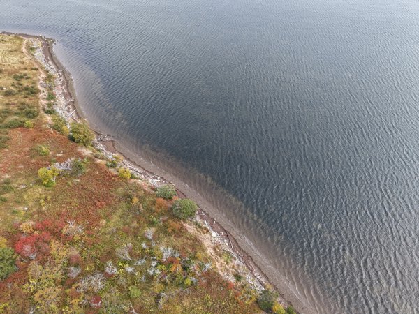
Whelan s Farm Fox ponds
 Point Cloud / 3D
Whelan s Farm Fox ponds
 Point Cloud / 3D
Whelan s Farm Fox ponds
 Point Cloud / 3D
Whelan s Farm Fox ponds
 Point Cloud / 3D
Whelan s Farm Mahers Cottage
 Point Cloud / 3D
Whelan s Farm Mahers Cottage
 Orthophoto / Map
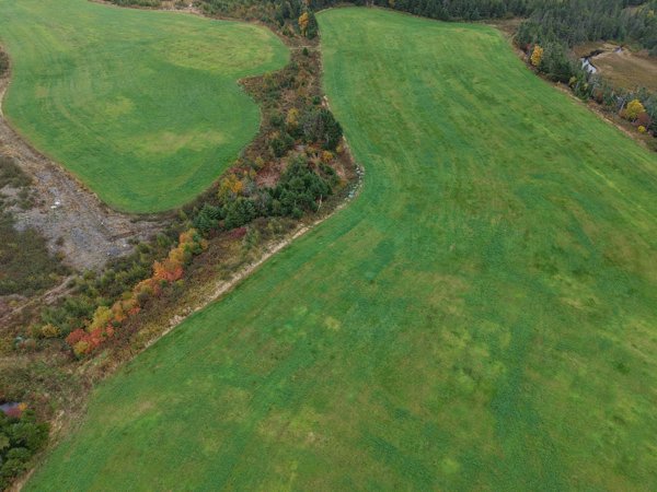
Green Acres Cottage 3 Arces 2
 Point Cloud / 3D
Green Acres Cottage 3 Arces 2
No projects match your filters. Try clearing filters or searching a different term.