Drone maps & 3D models in Ro, Brazil
2 sub-areas · 7 public projects on this page · page 2 of 2
About drone maps in Ro, Brazil
Explore public orthophotos (high‑resolution maps) and 3D point clouds created by pilots in Ro, Brazil. Use the filters to switch between Maps and 3D, and the search to find specific sites.
FAQ for Ro, Brazil
What kinds of drone data are available?
Public orthophotos (maps) and 3D point clouds captured by local pilots.
How can I make models and maps like this?
Get started for free by making an account and uploading drone imagery.
Public projects
 Orthophoto / Map
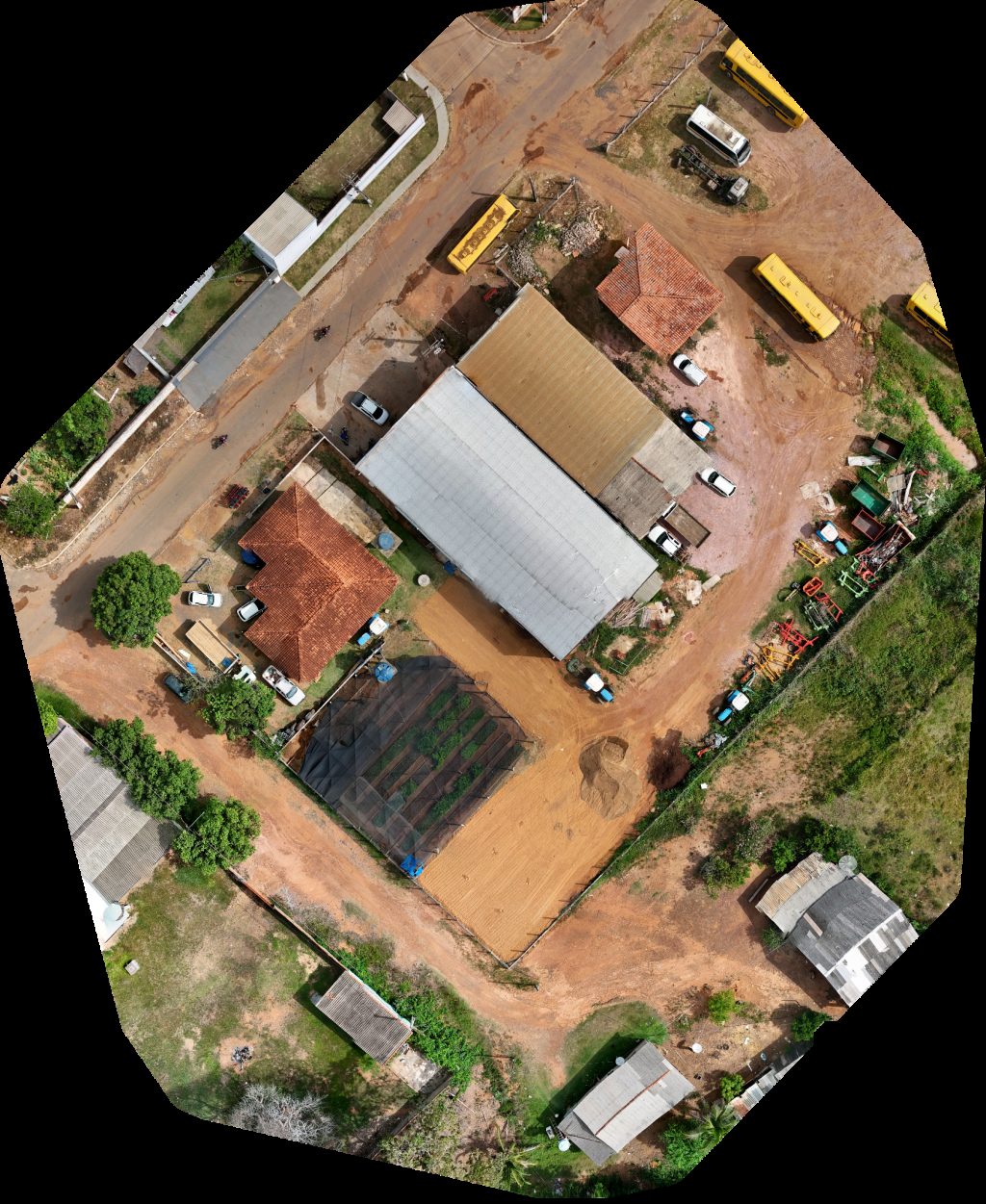
Secretaria Municipal de Meio Ambiente e Agricultura Oficina
 Orthophoto / Map
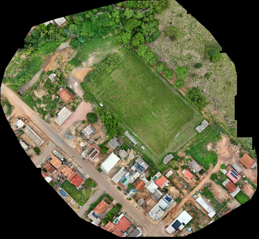
Campo Municipal Igreja Batista Nacional Da Benção
 Orthophoto / Map
EMF Fernão Dias Paes Igreja assembleia de Deus 621 km50
 Orthophoto / Map
Prefeitura Municiapal GJT Instituto de Previdência RO
 Orthophoto / Map
Dra Ahne Rambo Cirurgiã Dentista CS da Mulher Gjt
 Orthophoto / Map
OFICINA SAGITÁRIO MUNICÍPIO Fenix Centro Automotivo
 Orthophoto / Map
Centro catequético N SRA ANUNCIAÇÃO Ginásio
No projects match your filters. Try clearing filters or searching a different term.