Drone maps & 3D models in Governador Jorge Teixeira, Ro, Brazil
3 sub-areas · 24 public projects on this page · page 1 of 2
About drone maps in Governador Jorge Teixeira, Ro, Brazil
Explore public orthophotos (high‑resolution maps) and 3D point clouds created by pilots in Governador Jorge Teixeira, Ro, Brazil. Use the filters to switch between Maps and 3D, and the search to find specific sites.
FAQ for Governador Jorge Teixeira, Ro, Brazil
What kinds of drone data are available?
Public orthophotos (maps) and 3D point clouds captured by local pilots.
How can I make models and maps like this?
Get started for free by making an account and uploading drone imagery.
Public projects
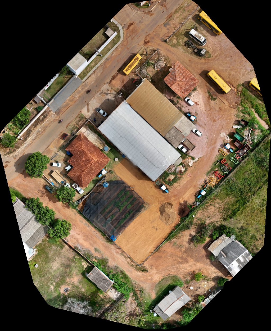
 Orthophoto / Map
Escola Municipal Armindo Ferreira Fraga Unidade Básica de Saúde Ivanicio Joaquim Santana
 Orthophoto / Map
Unidade Básica de Saúde Ivanicio Joaquim Santana Creche Municipal
 Orthophoto / Map
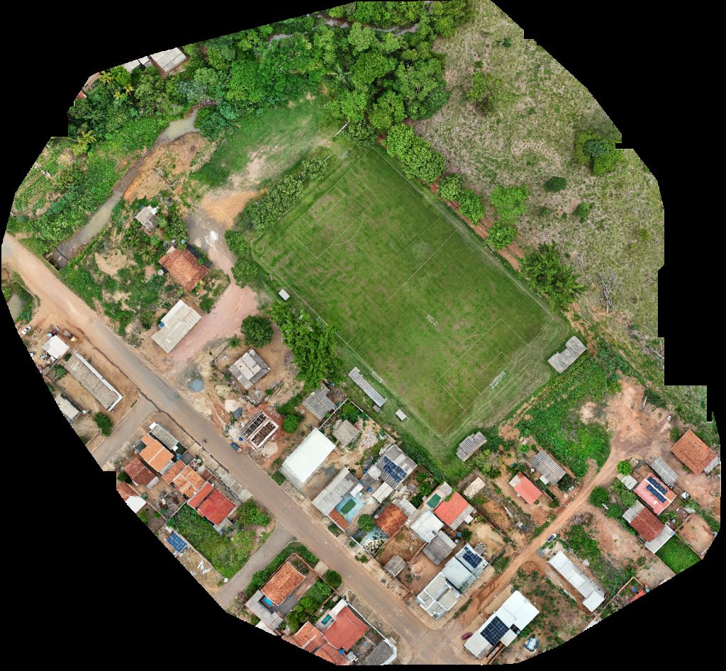
Escola Municipal Armindo Ferreira Fraga Campo dos peladeiros
 Orthophoto / Map
Creche Municipal Unidade Básica de Saúde Ivanicio Joaquim Santana
 Orthophoto / Map
Sorveteria Italianinha Kevin e dayana
 Orthophoto / Map
Feira municipal FUNERARIA CRISTO REI
 Orthophoto / Map
Sorveteria Coelho
 Orthophoto / Map
Sorveteria Coelho Igreja Batista Nacional Da Benção
 Orthophoto / Map
EMEF Jose Serafim Barbosa Chácara do THÉO
 Orthophoto / Map
Mari Perfumaria cosméticos Despachante Aliança
 Orthophoto / Map
EMF Fernão Dias Paes Igreja assembleia de Deus 621 km50
 Orthophoto / Map
WR AGROPECUÁRIA BAR DO BUGAO
 Orthophoto / Map
SOUSA MODAS Min Box SWG Ateliê da Lia
 Orthophoto / Map
Escola Estadual Costa Júnior Ginásio
 Orthophoto / Map
CENTRAL GÁS Consultório odontológico Dra PATRICIA MIYAZAKI DOI
 Orthophoto / Map
desconhecido Cemitério Municipal
 Orthophoto / Map
Lava Jato Topcar
 Orthophoto / Map
TUDO POR NOSSA CONTA Picina eventos e lazer Praça de Colina Verde
 Orthophoto / Map
Oficina Municipal de Secretaria Meio Ambiente e Agricultura
 Point Cloud / 3D
CIRETRAN de Gov DETRAN RO Campo dos peladeiros
 Orthophoto / Map
CIRETRAN de Gov DETRAN RO Campo dos peladeiros
 Orthophoto / Map
Borracharia do Toninho FARMA BEM
 Orthophoto / Map
Secretaria Municipal de Meio Ambiente e Agricultura Oficina
 Orthophoto / Map
Campo Municipal Igreja Batista Nacional Da Benção
No projects match your filters. Try clearing filters or searching a different term.