Drone maps & 3D models in Argentina
17 sub-areas · 10 public projects on this page · page 2 of 2
About drone maps in Argentina
Explore public orthophotos (high‑resolution maps) and 3D point clouds created by pilots in Argentina. Use the filters to switch between Maps and 3D, and the search to find specific sites.
FAQ for Argentina
What kinds of drone data are available?
Public orthophotos (maps) and 3D point clouds captured by local pilots.
How can I make models and maps like this?
Get started for free by making an account and uploading drone imagery.
Public projects
 Point Cloud / 3D
El RAVIOL casa campo Residencia Luna Bihurriet
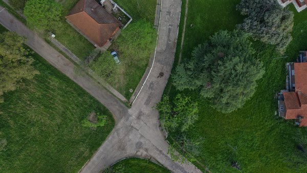
 Orthophoto / Map
Casa De Té La Jacinta Hospedaje y comedor Cordoba
 Point Cloud / 3D
Refugio adentro Escuela N 4208
 Point Cloud / 3D
Refugio adentro Escuela N 4208
 Orthophoto / Map
Villa Rosario Folmer S A Concesionario Oficial Ford
 Orthophoto / Map
Villa Rosario Folmer S A Concesionario Oficial Ford
 Point Cloud / 3D
Haras Argentino Farm Club Las Hortensias 2898
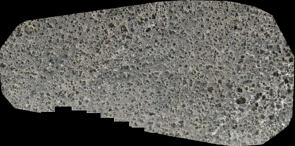
 Orthophoto / Map
Volcán
 Point Cloud / 3D
Transporte y logistica Calltruck S R L N A celebrations
 Orthophoto / Map
Estación de bombeo auca mahuida Emea Oil Terminal
No projects match your filters. Try clearing filters or searching a different term.