Drone maps & 3D models in Provincia De Buenos Aires, Argentina
5 sub-areas · 5 public projects on this page
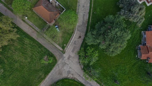
About drone maps in Provincia De Buenos Aires, Argentina
Explore public orthophotos (high‑resolution maps) and 3D point clouds created by pilots in Provincia De Buenos Aires, Argentina. Use the filters to switch between Maps and 3D, and the search to find specific sites.
FAQ for Provincia De Buenos Aires, Argentina
What kinds of drone data are available?
Public orthophotos (maps) and 3D point clouds captured by local pilots.
How can I make models and maps like this?
Get started for free by making an account and uploading drone imagery.
Public projects
 Point Cloud / 3D
El 23 Lago escondido La Cabra
 Point Cloud / 3D
Farmacia Di Lauro Andar En Bicicleta Es Salud
 Orthophoto / Map
Mar Sol Almacen Frutas Y Verduras TARUMA primer fábrica de alfajores
 Point Cloud / 3D
Haras Argentino Farm Club Las Hortensias 2898
 Point Cloud / 3D
Transporte y logistica Calltruck S R L N A celebrations
No projects match your filters. Try clearing filters or searching a different term.