Drone maps & 3D models in Virginia, United States
16 sub-areas · 20 public projects on this page · page 2 of 2
About drone maps in Virginia, United States
Explore public orthophotos (high‑resolution maps) and 3D point clouds created by pilots in Virginia, United States. Use the filters to switch between Maps and 3D, and the search to find specific sites.
FAQ for Virginia, United States
What kinds of drone data are available?
Public orthophotos (maps) and 3D point clouds captured by local pilots.
How can I make models and maps like this?
Get started for free by making an account and uploading drone imagery.
Public projects
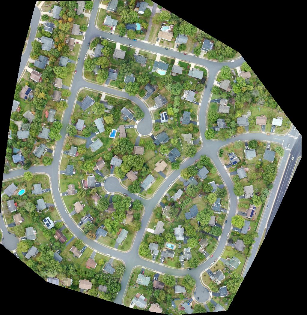
 Orthophoto / Map
Bryant Orchards Farm Market Freedom First Credit Union
 Orthophoto / Map
TBR Bistro The Vault by TR
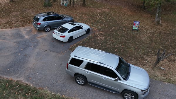
 Point Cloud / 3D
Bryant Orchards Farm Market Physical Therapy
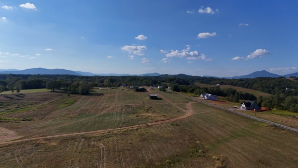
 Point Cloud / 3D
Gardner Pallets Inc Community Church
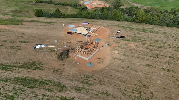
 Point Cloud / 3D
Bryant Orchards Farm Market Physical Therapy
 Point Cloud / 3D
Rock Hollow Trout Stream Hickory Grove Church
 Point Cloud / 3D
Coal Canyon Trailhead Poplar Gap Park
 Orthophoto / Map
Coal Canyon Trailhead Poplar Gap Park
 Point Cloud / 3D
Gardner Pallets Inc Community Church
 Point Cloud / 3D
Rock Hollow Trout Stream Hickory Grove Church
 Point Cloud / 3D
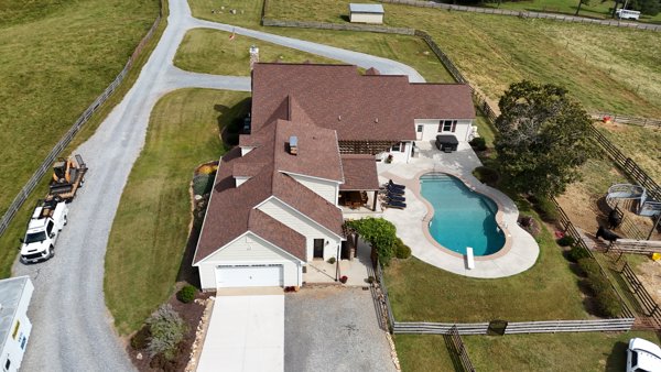
Jon Granlund REAL Broker LLC Alpha Omega Maids
 Orthophoto / Map
Williams Landscaping Inc NOVA Piano Studio lessons
 Point Cloud / 3D
Rock Hollow Trout Stream Hog Haven Farms LLC
 Point Cloud / 3D
Johnston Cooling and Heating Twin J Ranch
 Point Cloud / 3D
Johnston Cooling and Heating Twin J Ranch
 Point Cloud / 3D
Rock Hollow Trout Stream Hog Haven Farms LLC
 Point Cloud / 3D
Gardner Pallets Inc Community Church
 Point Cloud / 3D
The Jones Place Otter Peaks Alpacas LLC
 Point Cloud / 3D
Arkay Packaging Georg North America Inc
 Point Cloud / 3D
The Jones Place Otter Peaks Alpacas LLC
No projects match your filters. Try clearing filters or searching a different term.