Drone maps & 3D models in Ut, US
20 sub-areas · 24 public projects on this page · page 2 of 3
About drone maps in Ut, US
Explore public orthophotos (high‑resolution maps) and 3D point clouds created by pilots in Ut, US. Use the filters to switch between Maps and 3D, and the search to find specific sites.
FAQ for Ut, US
What kinds of drone data are available?
Public orthophotos (maps) and 3D point clouds captured by local pilots.
How can I make models and maps like this?
Get started for free by making an account and uploading drone imagery.
Browse areas
- Moab (11)
- Salt Lake City (11)
- La Sal (9)
- Logan (3)
- Farmington (2)
- Nephi (2)
- Bountiful (1)
- Hurricane (1)
- Mapleton (1)
- Midvale (1)
- Morgan (1)
- Murray (1)
- N (1)
- North Salt Lake (1)
- Ogden (1)
- Orem (1)
- Pleasant Grove (1)
- Sandy (1)
- Springville (1)
- St. George (1)
Public projects
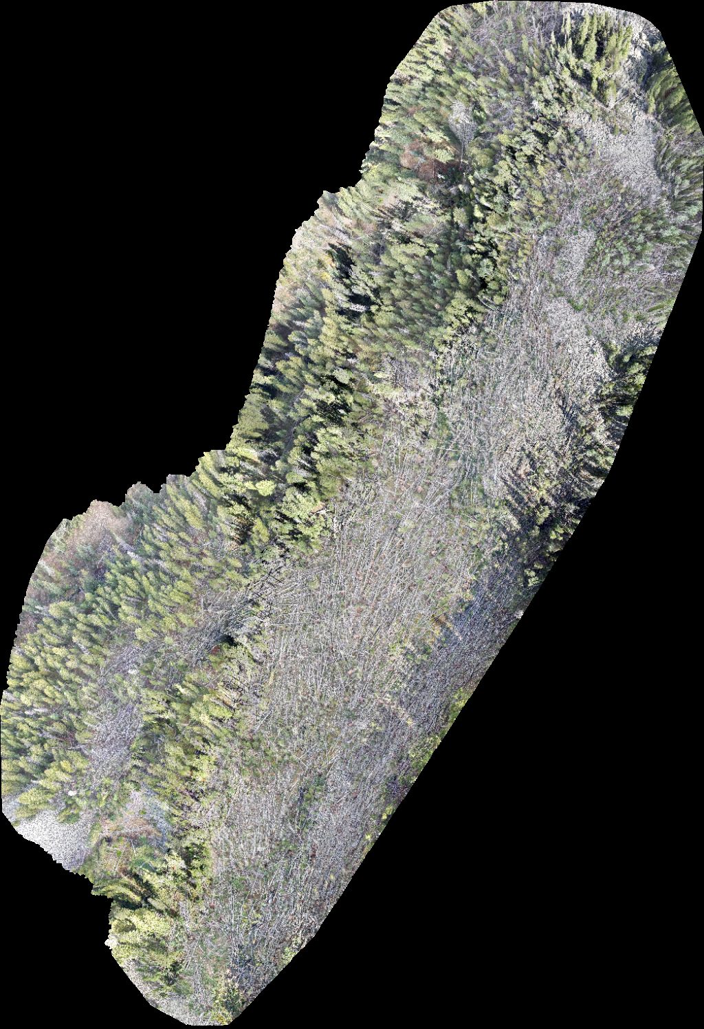
 Point Cloud / 3D
Ward Ronald w MD Hake Brooks Sara J
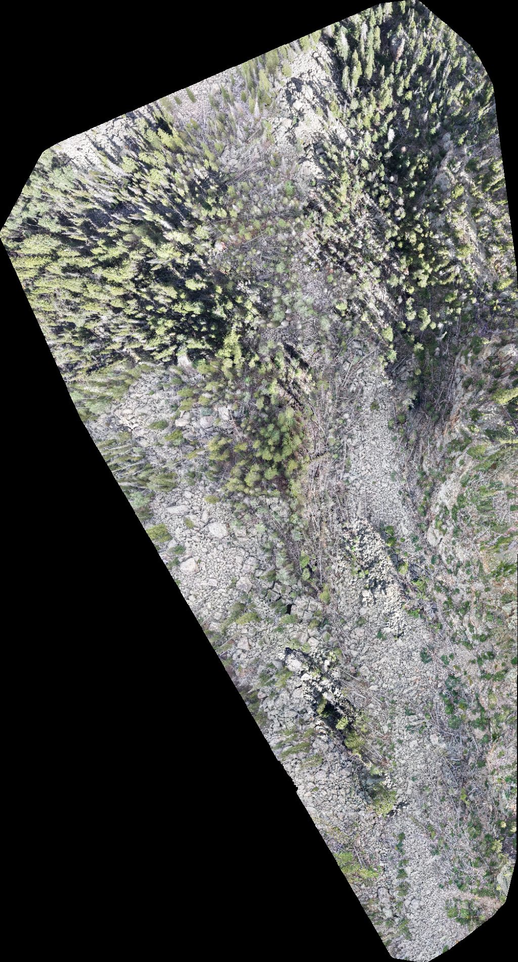
 Orthophoto / Map
Personal Touch Transportation Bloomin Blinds of Salt Lake Central UT
 Point Cloud / 3D
Rolling Audio Visual Expireance Kuhni PS Transportation
 Orthophoto / Map
Migraine Medical Piano Kingdoms LLC
 Orthophoto / Map
Rocky Mountain Pools Onsite Systems of Utah Inc
 Orthophoto / Map
The Auto Spa Fish Brain River Guides
 Orthophoto / Map
Utah Velocity Cheer J R LANE and Co
 Orthophoto / Map
Ward Ronald w MD Hake Brooks Sara J
 Point Cloud / 3D
Stephanie Marwil Photography Gahlinger Paul M MD
 Point Cloud / 3D
Holistic School Quail Hollow Park
 Point Cloud / 3D
Saint Joseph Catholic High School Sun Eagle Art
 Point Cloud / 3D
Taylor Ridge Ranch and RV Park Geyser Pass Yurt
 Orthophoto / Map
Taylor Ridge Ranch and RV Park Geyser Pass Yurt
 Orthophoto / Map
Taylor Ridge Ranch and RV Park Geyser Pass Yurt
 Orthophoto / Map
Taylor Ridge Ranch and RV Park Geyser Pass Yurt
 Orthophoto / Map
Taylor Ridge Ranch and RV Park Geyser Pass Yurt
 Orthophoto / Map
Taylor Ridge Ranch and RV Park Geyser Pass Yurt
 Orthophoto / Map
Taylor Ridge Ranch and RV Park Geyser Pass Yurt
 Orthophoto / Map
Geyser Pass Yurt The Whole Enchilada Burro
 Orthophoto / Map
Geyser Pass Yurt The Whole Enchilada Burro
 Orthophoto / Map
Geyser Pass Yurt Taylor Ridge Ranch and RV Park
 Orthophoto / Map
Warner Lake Geyser Pass Yurt
 Orthophoto / Map
Geyser Pass Yurt Taylor Ridge Ranch and RV Park
 Orthophoto / Map
Geyser Pass Yurt The Whole Enchilada Burro
No projects match your filters. Try clearing filters or searching a different term.