Drone maps & 3D models in La Sal, Ut, US — Geyser Pass
9 public projects on this page
About drone maps in La Sal, Ut, US — Geyser Pass
Explore public orthophotos (high‑resolution maps) and 3D point clouds created by pilots in La Sal, Ut, US — Geyser Pass. Use the filters to switch between Maps and 3D, and the search to find specific sites.
FAQ for La Sal, Ut, US — Geyser Pass
What kinds of drone data are available?
Public orthophotos (maps) and 3D point clouds captured by local pilots.
How can I make models and maps like this?
Get started for free by making an account and uploading drone imagery.
Public projects
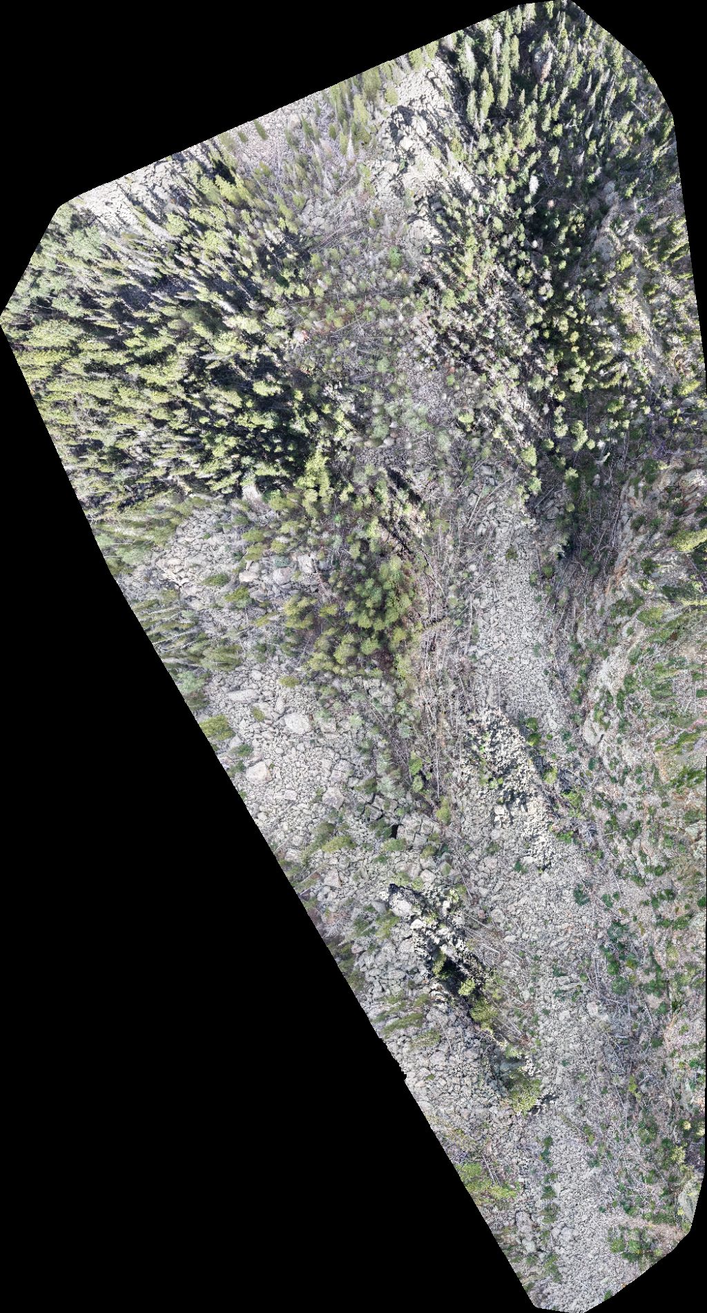
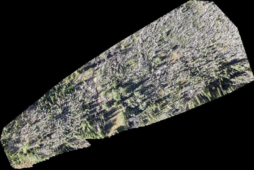
 Orthophoto / Map
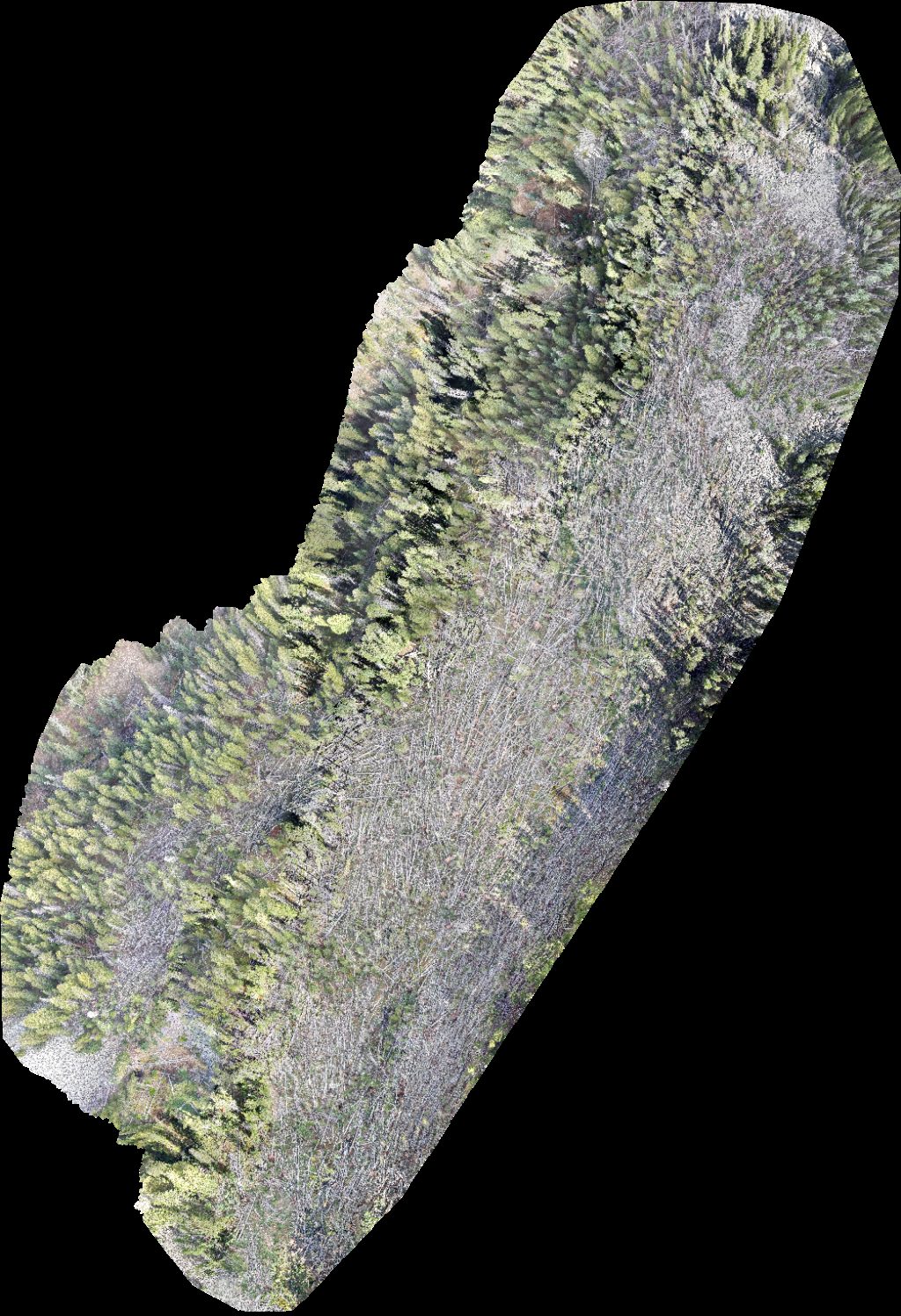
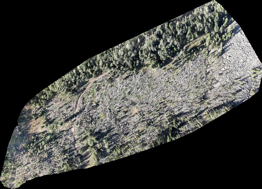
Geyser Pass Yurt The Whole Enchilada Burro
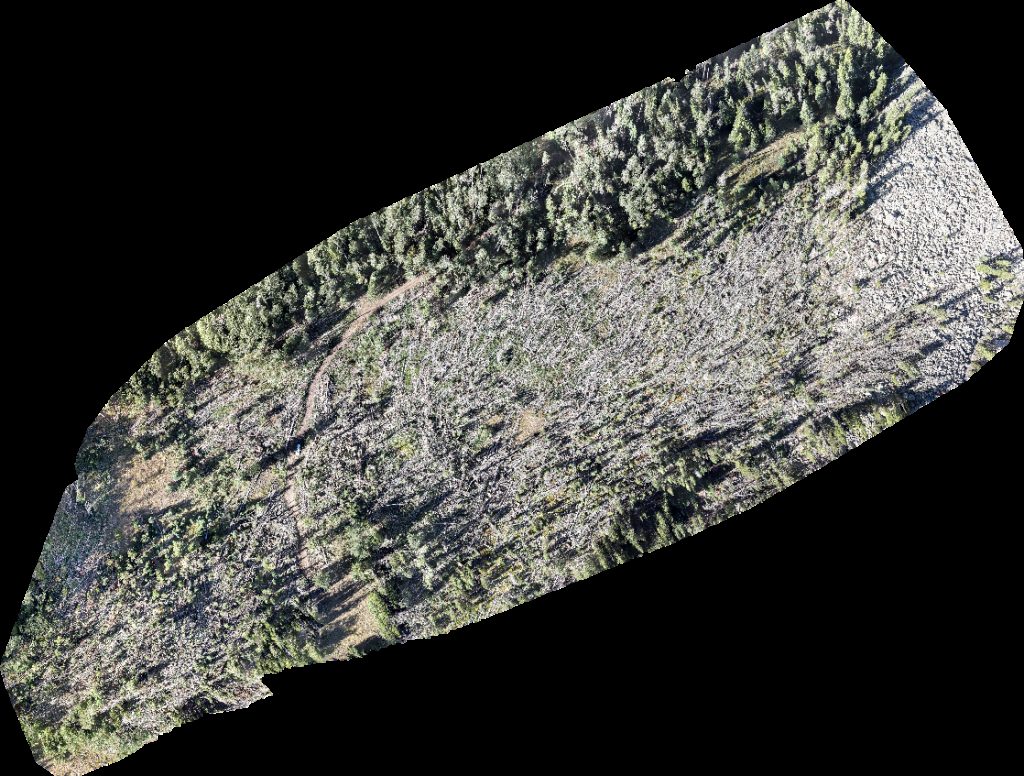
 Orthophoto / Map
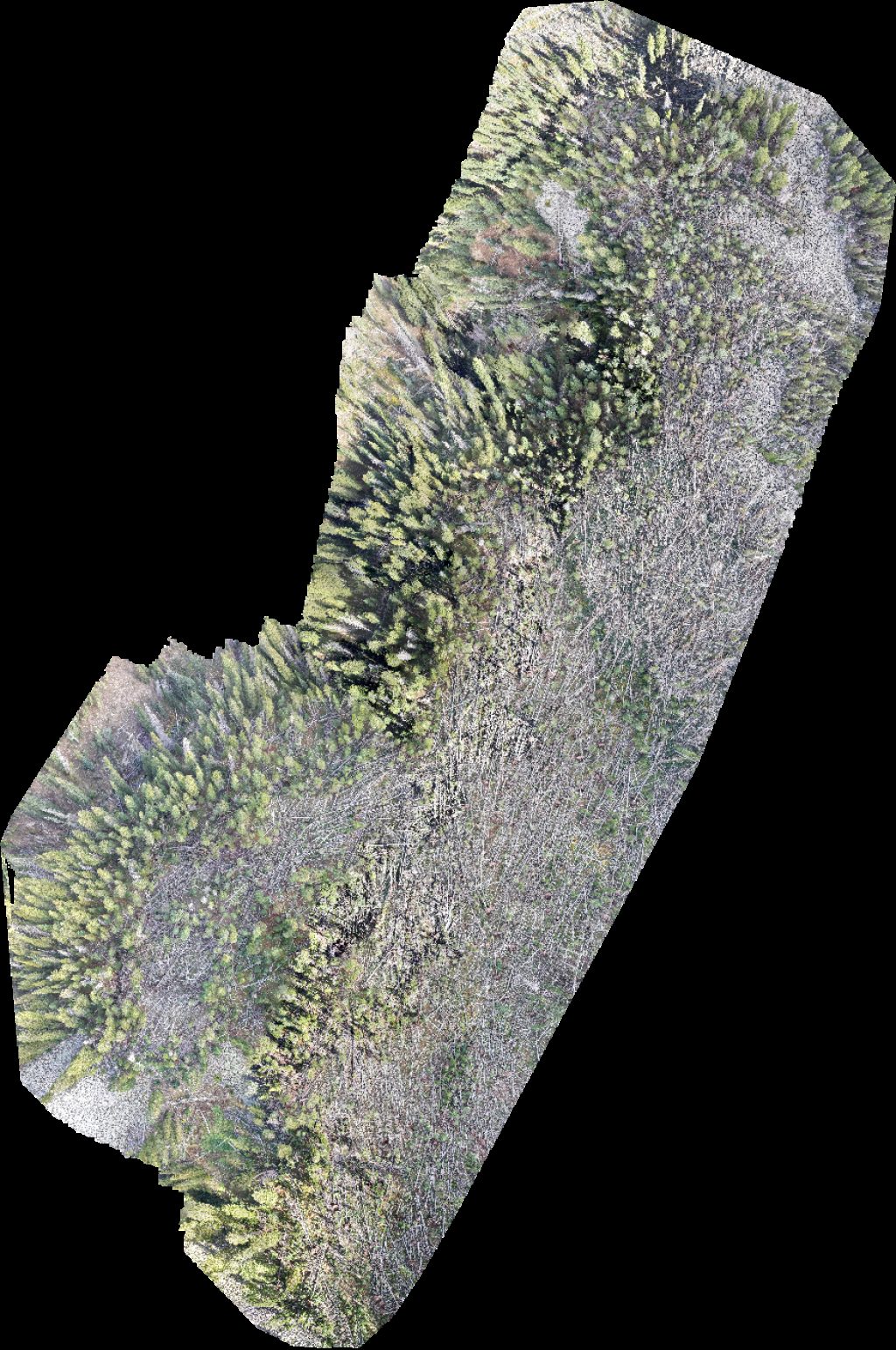
Geyser Pass Yurt The Whole Enchilada Burro
 Orthophoto / Map
Geyser Pass Yurt Taylor Ridge Ranch and RV Park
 Orthophoto / Map
Geyser Pass Yurt Taylor Ridge Ranch and RV Park
 Orthophoto / Map
Geyser Pass Yurt The Whole Enchilada Burro
 Orthophoto / Map
Geyser Pass Yurt Taylor Ridge Ranch and RV Park
 Orthophoto / Map
Geyser Pass Yurt Warner Lake
 Orthophoto / Map
Geyser Pass Yurt Taylor Ridge Ranch and RV Park
 Orthophoto / Map
Geyser Pass Yurt Taylor Ridge Ranch and RV Park
No projects match your filters. Try clearing filters or searching a different term.