Drone maps & 3D models in North Carolina, United States
30 sub-areas · 24 public projects on this page · page 1 of 5
About drone maps in North Carolina, United States
Explore public orthophotos (high‑resolution maps) and 3D point clouds created by pilots in North Carolina, United States. Use the filters to switch between Maps and 3D, and the search to find specific sites.
FAQ for North Carolina, United States
What kinds of drone data are available?
Public orthophotos (maps) and 3D point clouds captured by local pilots.
How can I make models and maps like this?
Get started for free by making an account and uploading drone imagery.
Public projects
 Point Cloud / 3D
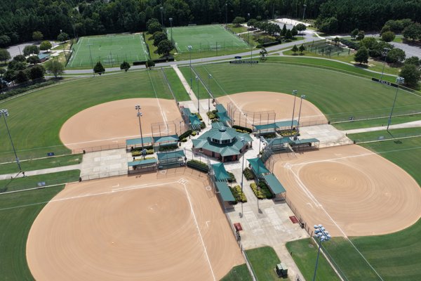
Thomas Brooks Baseball Softball Fields Field 5
 Point Cloud / 3D
Country Store W Earl Nixon Welding Supplies
 Point Cloud / 3D
Bluestone Land Management Precision Mindset PLLC
 Orthophoto / Map
Marshall s Trading Post Total Care Mechanical Services
 Point Cloud / 3D
Soccer Field 1 Thomas Brooks Cricket Nets Batting Cage
 Point Cloud / 3D
Soccer Field 1 Thomas Brooks Cricket Nets Batting Cage
 Orthophoto / Map
Soccer Field 2 1
 Orthophoto / Map
Soccer Field 1 Thomas Brooks Cricket Nets Batting Cage
 Orthophoto / Map
Western Union Belk
 Orthophoto / Map
Horizon One Realty Apex Heating Air Conditioning
 Orthophoto / Map
Thomas Brooks Cricket Nets Batting Cage Soccer Field 1
 Orthophoto / Map
Horizon One Realty Apex Heating Air Conditioning
 Orthophoto / Map
Thomas Brooks Cricket Nets Batting Cage Soccer Field 1
 Orthophoto / Map
River Ridge Golf Club Bagwell s C Stop Inc
 Orthophoto / Map
River Ridge Golf Club Bagwell s C Stop Inc
 Point Cloud / 3D
Modern Townhome Near The Beach Parks Stump Sound Park
 Orthophoto / Map
Fire Department Station 37 Sydex
 Point Cloud / 3D
Country Store R Merle Bunch Trucking Inc
 Point Cloud / 3D
Bond Park Community Center Maury O Dell Place at
 Point Cloud / 3D
Thomas Brooks Baseball Softball Fields Field 6
 Point Cloud / 3D
Bond Park Community Center Maury O Dell Place at
 Point Cloud / 3D
Thomas Brooks Baseball Softball Fields Field 5
 Point Cloud / 3D
Bond Park Community Center Maury O Dell Place at
 Point Cloud / 3D
Onslow County Parks Steed Park Elementary School
No projects match your filters. Try clearing filters or searching a different term.