Drone maps & 3D models in Mesa, Arizona, United States
3 sub-areas · 7 public projects on this page
About drone maps in Mesa, Arizona, United States
Explore public orthophotos (high‑resolution maps) and 3D point clouds created by pilots in Mesa, Arizona, United States. Use the filters to switch between Maps and 3D, and the search to find specific sites.
FAQ for Mesa, Arizona, United States
What kinds of drone data are available?
Public orthophotos (maps) and 3D point clouds captured by local pilots.
How can I make models and maps like this?
Get started for free by making an account and uploading drone imagery.
Public projects
 Point Cloud / 3D
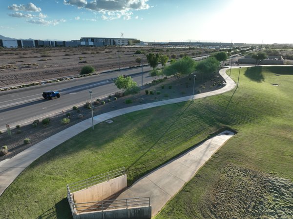
Basin 114 PHX57
 Point Cloud / 3D
The Family Foundations Agency Birth Postpartum Newborn Care Nutrition Gio Warehousing
 Orthophoto / Map
Stand Up Photos Inc Mike s Garage CC
 Orthophoto / Map
Stand Up Photos Inc Mike s Garage CC
 Orthophoto / Map
Basin 114 NTT PH3 Datacenter
 Orthophoto / Map
Stand Up Photos Inc Mike s Garage CC
 Point Cloud / 3D
Basin 114 NTT PH3 Datacenter
No projects match your filters. Try clearing filters or searching a different term.