Drone maps & 3D models in Mugla, Türkiye
1 sub-areas · 4 public projects on this page
About drone maps in Mugla, Türkiye
Explore public orthophotos (high‑resolution maps) and 3D point clouds created by pilots in Mugla, Türkiye. Use the filters to switch between Maps and 3D, and the search to find specific sites.
FAQ for Mugla, Türkiye
What kinds of drone data are available?
Public orthophotos (maps) and 3D point clouds captured by local pilots.
How can I make models and maps like this?
Get started for free by making an account and uploading drone imagery.
Public projects
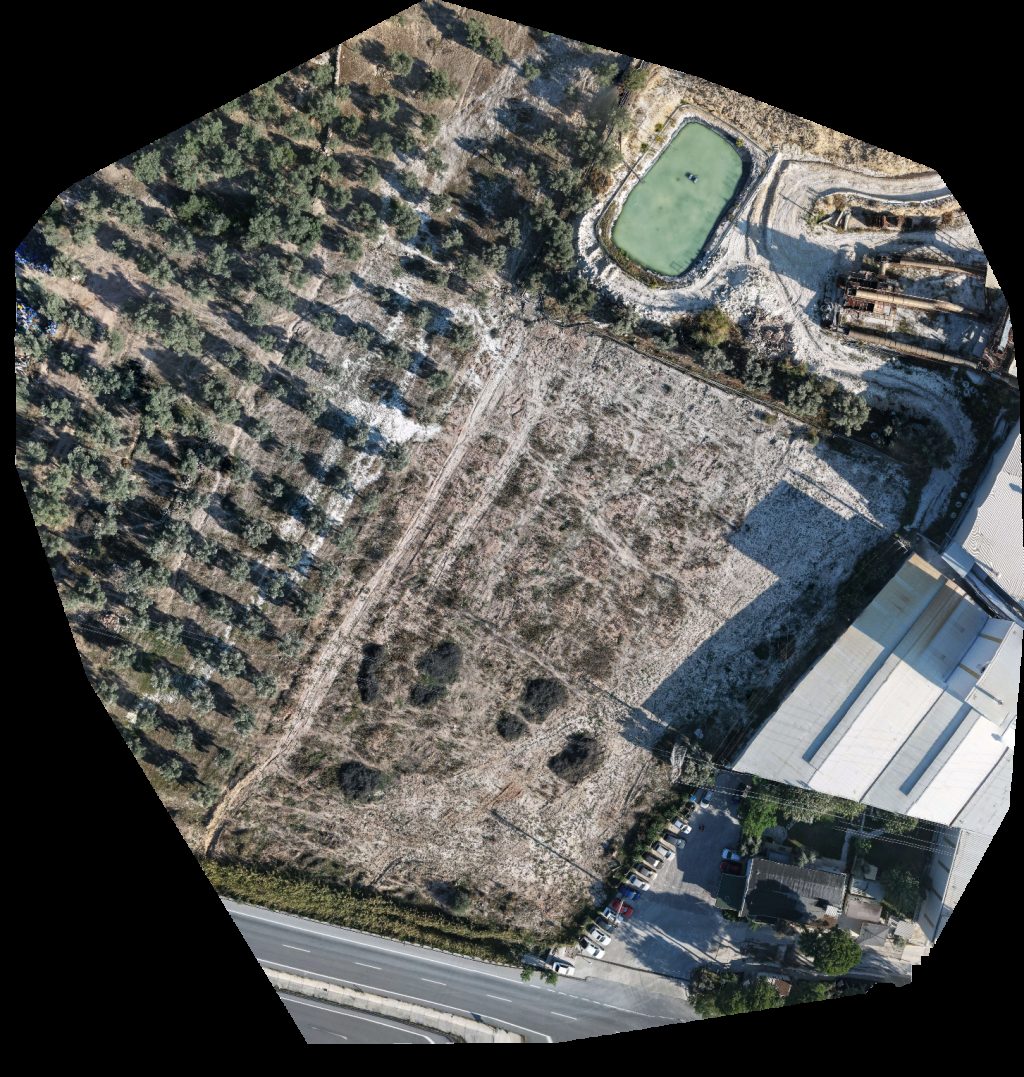
 Orthophoto / Map
Özgür Sahil Sitesi sarıs market manav
 Orthophoto / Map
Cheerful 3 bedroom villa Three House Sılay Sitesi
 Orthophoto / Map
Gulum Coastal Site Orkinoz Kooperatifi
 Orthophoto / Map
Esan Feldspat Zenginleştirme Tesisi Milsan Kerestecilik
No projects match your filters. Try clearing filters or searching a different term.